S36W30632 Dendon Ct Waukesha, WI 53189
Estimated Value: $562,339 - $725,000
--
Bed
--
Bath
--
Sq Ft
7.21
Acres
About This Home
This home is located at S36W30632 Dendon Ct, Waukesha, WI 53189 and is currently estimated at $622,585. S36W30632 Dendon Ct is a home with nearby schools including Magee Elementary School, Kettle Moraine Middle School, and Kettle Moraine High School.
Ownership History
Date
Name
Owned For
Owner Type
Purchase Details
Closed on
Nov 20, 2020
Sold by
Wollenzein Otho
Bought by
Kraus Steven E and Kraus Elizabeth A
Current Estimated Value
Home Financials for this Owner
Home Financials are based on the most recent Mortgage that was taken out on this home.
Original Mortgage
$323,000
Outstanding Balance
$287,424
Interest Rate
2.8%
Mortgage Type
New Conventional
Estimated Equity
$335,161
Purchase Details
Closed on
Mar 14, 2011
Sold by
Wollenzein Otho and Wollenzein Marilyn
Bought by
Wollenzein Otho
Create a Home Valuation Report for This Property
The Home Valuation Report is an in-depth analysis detailing your home's value as well as a comparison with similar homes in the area
Home Values in the Area
Average Home Value in this Area
Purchase History
| Date | Buyer | Sale Price | Title Company |
|---|---|---|---|
| Kraus Steven E | $380,000 | None Available | |
| Wollenzein Otho | -- | None Available |
Source: Public Records
Mortgage History
| Date | Status | Borrower | Loan Amount |
|---|---|---|---|
| Open | Kraus Steven E | $323,000 |
Source: Public Records
Tax History Compared to Growth
Tax History
| Year | Tax Paid | Tax Assessment Tax Assessment Total Assessment is a certain percentage of the fair market value that is determined by local assessors to be the total taxable value of land and additions on the property. | Land | Improvement |
|---|---|---|---|---|
| 2024 | $5,190 | $505,000 | $217,000 | $288,000 |
| 2023 | $4,853 | $500,000 | $212,000 | $288,000 |
| 2022 | $5,335 | $464,500 | $192,000 | $272,500 |
| 2021 | $5,226 | $354,000 | $122,000 | $232,000 |
| 2020 | $5,227 | $354,000 | $122,000 | $232,000 |
| 2019 | $4,969 | $354,000 | $122,000 | $232,000 |
| 2018 | $5,022 | $354,000 | $122,000 | $232,000 |
| 2017 | $5,344 | $354,000 | $122,000 | $232,000 |
| 2016 | $4,799 | $354,000 | $122,000 | $232,000 |
| 2015 | $4,790 | $354,000 | $122,000 | $232,000 |
| 2014 | $4,863 | $354,000 | $122,000 | $232,000 |
| 2013 | $4,863 | $354,000 | $122,000 | $232,000 |
Source: Public Records
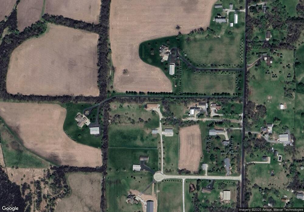
Map
Nearby Homes
- S40W31356 Johns Way
- S37W31726 Bennett Rd
- S27W30015 N Bethesda Cir
- S42W31526 Depot Rd
- W307S4689 Wisconsin 83
- 715 Lochtyn Ridge
- 205 Kummrow Ct
- 440 S Brandybrook Rd
- W321S4019 Sadie Ln
- 215 W Pembroke Way Unit 217
- W305S5060 Wisconsin 83
- S25W29201 Cambrian Ridge
- 105 Legend Way
- 116 W Main St
- 224 N Elias St
- W324S4055 Bartell Ct
- 329 Breck Rd
- 412 S Taliesin Rd
- W304S1779 Pinehurst Ct
- 447 Dugan Rd
- W305S3543 Brookhill Rd
- W305S3421 Brookhill Rd
- S36W30660 Dendon Ct
- W305S3541 Brookhill Rd
- W305S3553 Brookhill Rd
- W305S3511 Brookhill Rd
- S36W30522 Dendon Ct
- S36W30661 Dendon Ct
- W304S3566 Brookhill Rd
- S36W30541 Dendon Ct
- W304S3606 Brookhill Rd
- W304S3440 Brookhill Rd
- W304S3402 Brookhill Rd
- W304S3366 Brookhill Rd
- S36W30490 Saint Davids Dr
- W303S3505 Saint Davids Dr
- W303S3605 Saint Davids Dr
- W303S3535 Saint Davids Dr
- S36W30495 Saint Davids Dr
- W303S3495 Saint Davids Dr