tbd High Ridge Rd Bozeman, MT 59715
Estimated Value: $513,625
Studio
--
Bath
--
Sq Ft
1,054,588
Sq Ft Lot
About This Home
This home is located at tbd High Ridge Rd, Bozeman, MT 59715 and is currently priced at $513,625. tbd High Ridge Rd is a home located in Gallatin County with nearby schools including Malmborg School, Bozeman High School, and Gallatin High School.
Ownership History
Date
Name
Owned For
Owner Type
Purchase Details
Closed on
Dec 2, 2024
Sold by
Scott A Lewis Trust and Lewis Scott A
Bought by
Heminway Andrew M and Heminway Ryan
Current Estimated Value
Purchase Details
Closed on
Jun 25, 2024
Sold by
Lewis Scott
Bought by
Scott A Lewis Trust and Lewis
Purchase Details
Closed on
Jun 29, 2022
Sold by
Miles Creek Ranch Llc and Westering Home Llc
Bought by
Amber Ranch Llc
Home Financials for this Owner
Home Financials are based on the most recent Mortgage that was taken out on this home.
Original Mortgage
$17,400,000
Interest Rate
5.25%
Mortgage Type
New Conventional
Purchase Details
Closed on
Jul 27, 2020
Sold by
Kistier John P and Kistier Jane L
Bought by
Lewis Scott
Create a Home Valuation Report for This Property
The Home Valuation Report is an in-depth analysis detailing your home's value as well as a comparison with similar homes in the area
Purchase History
| Date | Buyer | Sale Price | Title Company |
|---|---|---|---|
| Heminway Andrew M | -- | Security Title | |
| Scott A Lewis Trust | -- | None Listed On Document | |
| Amber Ranch Llc | -- | First American Title | |
| Lewis Scott | -- | First American Title Company |
Source: Public Records
Mortgage History
| Date | Status | Borrower | Loan Amount |
|---|---|---|---|
| Previous Owner | Amber Ranch Llc | $17,400,000 |
Source: Public Records
Tax History
| Year | Tax Paid | Tax Assessment Tax Assessment Total Assessment is a certain percentage of the fair market value that is determined by local assessors to be the total taxable value of land and additions on the property. | Land | Improvement |
|---|---|---|---|---|
| 2025 | $65 | $1,471 | $0 | $0 |
| 2024 | $62 | $1,334 | $0 | $0 |
| 2023 | $59 | $1,334 | $0 | $0 |
| 2022 | $76 | $1,340 | $0 | $0 |
| 2021 | $81 | $1,340 | $0 | $0 |
| 2020 | $77 | $1,247 | $0 | $0 |
| 2019 | $76 | $1,247 | $0 | $0 |
| 2018 | $78 | $1,165 | $0 | $0 |
| 2017 | $71 | $1,165 | $0 | $0 |
| 2016 | $67 | $1,078 | $0 | $0 |
| 2015 | $67 | $1,078 | $0 | $0 |
| 2014 | $92 | $1,399 | $0 | $0 |
Source: Public Records
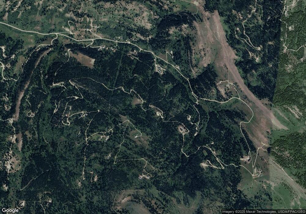
Map
Nearby Homes
- 3096 Woodchuck Rd
- 20 ac Alpine Springs Trail
- 192 Mountain Brook Rd
- 182 Elk Ridge Rd
- 176 Game Trail Rd
- 449 Minni Hall Rd
- 78 Lake Dr
- 107 Eldridge Creek Trail
- 755 Coffee Creek Rd
- Lot 9 Sunflower Ln
- 3835 Goose Creek Rd
- Tract 11 Mountain Moose Rd
- 770 Mountain Moose Rd
- 189 Quinn Creek Rd
- 34 Mountain Springs Ln
- NHN Stublar Rd
- 18 Blue Camas Rd
- NHN Chestnut Rd
- 000 Chestnut Rd
- Ranch 2 N Pass Ranch
- 280 High Ridge Rd
- tbd Peak Rd
- 200 Peak Rd
- Lot 12 High Ridge Rd
- 135 High Ridge Rd
- TR 18 High Ridge Rd
- 256 High Ridge Rd
- 235 Peak Rd
- 2570 High Ridge Rd
- tbd Woodchuck
- Lot 29 Clear Spring Rd
- TR 27 Peak Rd
- 185 Peak Rd
- Lot 9 Timberline Tracts
- 215 Peak Rd
- 3060 Woodchuck Rd
- Tr 5 Woodchuck Rd
- Lot 10 Timberline
- NHN Woodchuck Rd
- 29 Clear Springs Rd
Your Personal Tour Guide
Ask me questions while you tour the home.