W305S3511 Brookhill Rd Waukesha, WI 53189
Estimated Value: $1,426,126
--
Bed
--
Bath
--
Sq Ft
21.77
Acres
About This Home
This home is located at W305S3511 Brookhill Rd, Waukesha, WI 53189 and is currently estimated at $1,426,126. W305S3511 Brookhill Rd is a home located in Waukesha County with nearby schools including Rose Glen Elementary School, Les Paul Middle School - Central Campus, and West High School.
Ownership History
Date
Name
Owned For
Owner Type
Purchase Details
Closed on
Jun 15, 2010
Sold by
Davidowski Harold A and Davidowski Roxanne M
Bought by
Davidowski Harold A and Davidows Roxanne M
Current Estimated Value
Home Financials for this Owner
Home Financials are based on the most recent Mortgage that was taken out on this home.
Original Mortgage
$186,500
Outstanding Balance
$119,176
Interest Rate
4.12%
Mortgage Type
New Conventional
Estimated Equity
$1,306,950
Purchase Details
Closed on
May 12, 2010
Sold by
Harold A & Roxanne M Davidowski Living R
Bought by
Davidowski Harold A and Davidowski Roxanne M
Home Financials for this Owner
Home Financials are based on the most recent Mortgage that was taken out on this home.
Original Mortgage
$186,500
Outstanding Balance
$119,176
Interest Rate
4.12%
Mortgage Type
New Conventional
Estimated Equity
$1,306,950
Create a Home Valuation Report for This Property
The Home Valuation Report is an in-depth analysis detailing your home's value as well as a comparison with similar homes in the area
Home Values in the Area
Average Home Value in this Area
Purchase History
| Date | Buyer | Sale Price | Title Company |
|---|---|---|---|
| Davidowski Harold A | -- | None Available | |
| Davidowski Harold A | -- | None Available |
Source: Public Records
Mortgage History
| Date | Status | Borrower | Loan Amount |
|---|---|---|---|
| Open | Davidowski Harold A | $186,500 |
Source: Public Records
Tax History Compared to Growth
Tax History
| Year | Tax Paid | Tax Assessment Tax Assessment Total Assessment is a certain percentage of the fair market value that is determined by local assessors to be the total taxable value of land and additions on the property. | Land | Improvement |
|---|---|---|---|---|
| 2024 | $10,326 | $1,272,300 | $215,800 | $1,056,500 |
| 2023 | $9,858 | $1,266,400 | $209,900 | $1,056,500 |
| 2022 | $10,605 | $1,168,100 | $177,600 | $990,500 |
| 2021 | $10,487 | $844,700 | $82,700 | $762,000 |
| 2020 | $10,716 | $844,500 | $82,500 | $762,000 |
| 2019 | $10,126 | $844,600 | $82,600 | $762,000 |
| 2018 | $9,661 | $844,700 | $82,700 | $762,000 |
| 2017 | $9,603 | $844,800 | $82,800 | $762,000 |
| 2016 | $9,856 | $825,700 | $82,700 | $743,000 |
| 2015 | $10,103 | $825,700 | $82,700 | $743,000 |
| 2014 | $10,235 | $825,500 | $82,500 | $743,000 |
| 2013 | $10,235 | $825,700 | $82,700 | $743,000 |
Source: Public Records
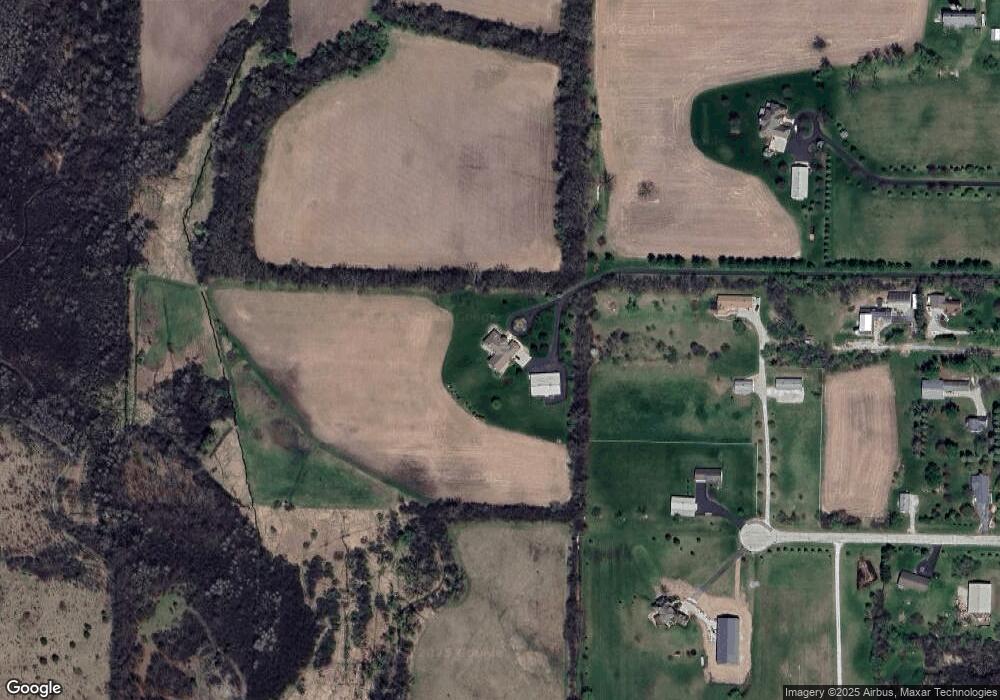
Map
Nearby Homes
- S40W31356 Johns Way
- S37W31726 Bennett Rd
- S42W31526 Depot Rd
- S27W30015 N Bethesda Cir
- W307S4689 Wisconsin 83
- 205 Kummrow Ct
- 440 S Brandybrook Rd
- 715 Lochtyn Ridge
- W321S4019 Sadie Ln
- 215 W Pembroke Way Unit 217
- W324S4055 Bartell Ct
- W305S5060 Wisconsin 83
- 116 W Main St
- 224 N Elias St
- 105 Legend Way
- S25W29201 Cambrian Ridge
- 412 S Taliesin Rd
- 329 Breck Rd
- W304S1779 Pinehurst Ct
- 447 Dugan Rd
- S36W30632 Dendon Ct
- S36W30660 Dendon Ct
- S36W30661 Dendon Ct
- W305S3421 Brookhill Rd
- W305S3543 Brookhill Rd
- W305S3553 Brookhill Rd
- W305S3541 Brookhill Rd
- S36W30522 Dendon Ct
- S36W30541 Dendon Ct
- W304S3566 Brookhill Rd
- S38W30858 Wern Way
- W304S3606 Brookhill Rd
- W304S3440 Brookhill Rd
- W304S3402 Brookhill Rd
- S36W30490 Saint Davids Dr
- W304S3366 Brookhill Rd
- S36W30495 Saint Davids Dr
- W303S3535 Saint Davids Dr
- W303S3505 Saint Davids Dr
- W303S3605 Saint Davids Dr