$706,120Average Value$390Average Price per Sq Ft2Homes For Sale
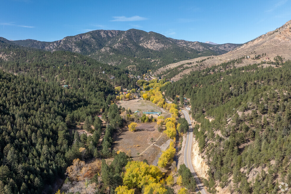
Glendale blends outdoor access with a peaceful lifestyle
Situated within Left Hand Creek Canyon, Glendale is a quiet mountain community where properties have acreage and are surrounded by trees and wildlife. Dirt roads are interspersed with historic cabins and modern mountain homes, giving you a variety of housing options. Hiking trails surround the area, and residents enjoy the privacy and quiet of mountain living. Boulder is less than 30 minutes away for work and essentials.
Glendale offers a quiet mountain lifestyle along Left Hand Creek.
Buckingham Park includes a shade-covered trail and picnic tables off Lefthand Canyon Drive.
1/2
Glendale’s selection of homes and cabins
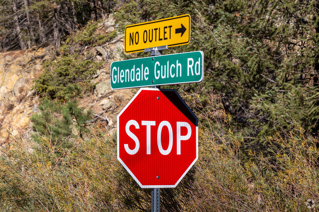
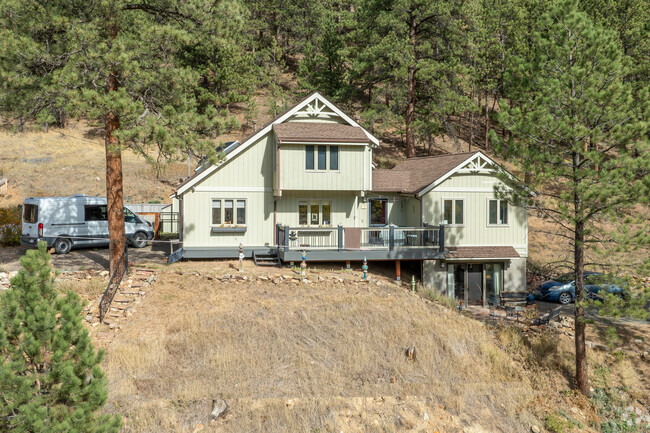
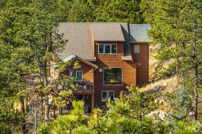
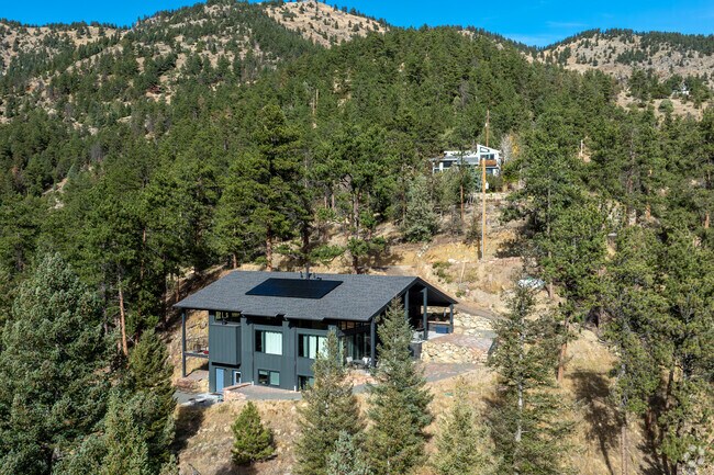
Glendale has a mix of properties spaced out along Nugget Hill Road. Contemporary, multistory mountain homes are common, spanning 1,200 to 2,000 square feet. Some are more traditional, while others have a colorful or modern exterior design. There are also vintage cabins built in the early 1900s that are under 600 square feet. The median sales price for a home in the neighborhood is around $780,000, which is lower than that of Boulder’s. However, the housing market is usually scarce, with not many properties available for sale. “Nugget Hill Drive is south-facing, so it gets sun,” says David Mans, a real estate agent with Compass, who has around 35 years of experience and specializes in the area. “It’s for people looking for views and a more secluded place to live.”
In addition to its existing homes, Glendale has several multi-acre, vacant plots of land. These properties are available to purchase and build on. Land ranges from the lower $100,000s to the lower $300,000s. depending on acreage.
Multistory mountainside homes make up most of Glendale's housing inventory.
Single-family mountain homes are lined along Nugget Hill Road.
1/2
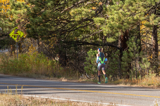
Exploring nearby trails and creeks
There's no shortage of natural recreation thanks to Glendale’s surrounding landscape of rolling hills and valleys:
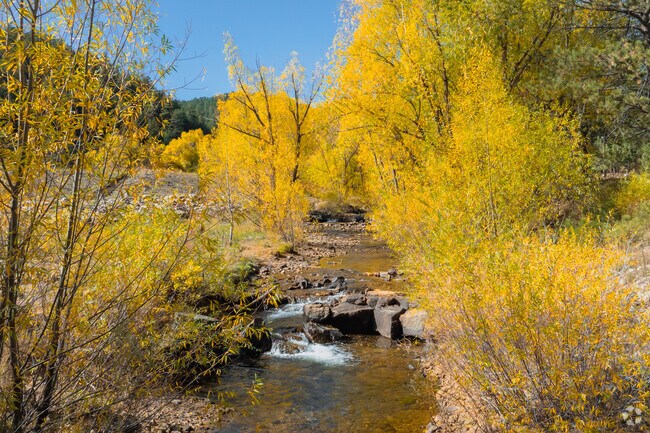
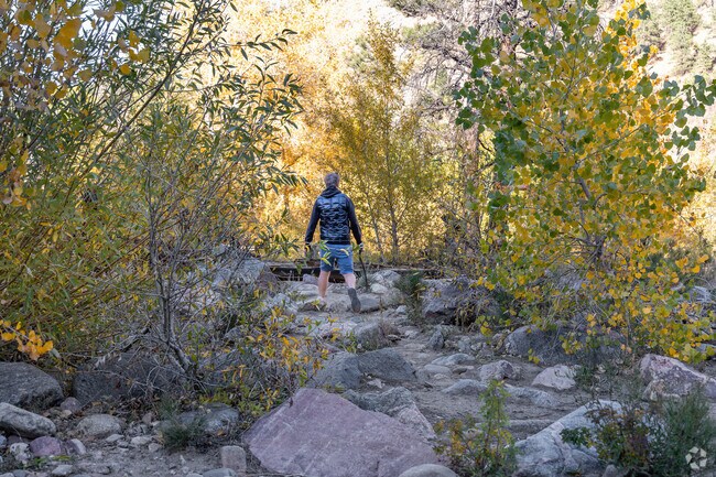
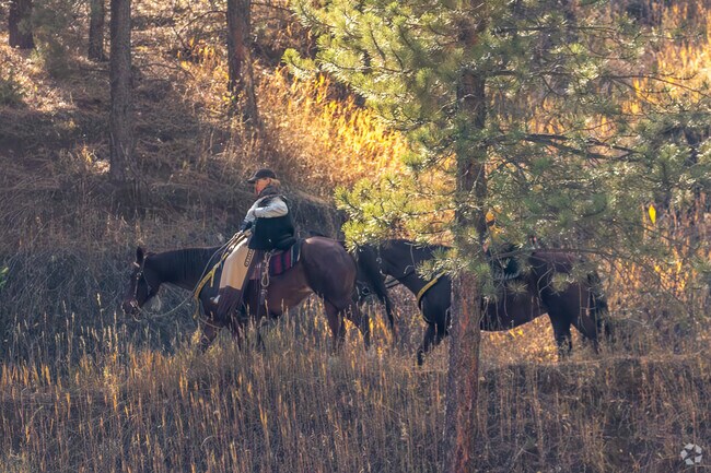
The Left Hand Trail is a multi-use path that allows hiking, biking and horseback riding along Left Hand Creek. It connects to other Boulder Valley Ranch trails.
Buckingham Park is a picnicking and fishing destination along Left Hand Creek, about 5 miles from the neighborhood. It serves as an entry point to multiple trails.
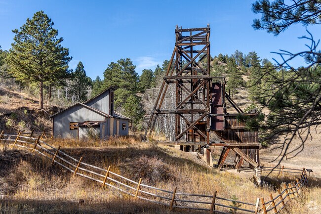
Jamestown’s Blue Jay Mine is a historic site, roughly 6 miles away, featuring an abandoned mining shaft from the early 1900s for hikers and history buffs to explore.
“There’s an old stagecoach road that runs through Glendale and connects to Sunshine Canyon […] now it’s a popular hiking and biking trail,” Mans says.
Many trails in the area allow horseback riding.
The Blue Jay Mine is an abandoned site you can hike to in Jamestown, CO.
1/2
Lefthand Canyon Drive is the area's main throughfare, cutting through the landscape.
Commuting into Boulder for amenities
Lefthand Canyon Drive is Glendale’s major thoroughfare, used by commuters to connect to Lee Hill Drive and travel into downtown Boulder. The journey takes you about 10 miles southeast for roughly 22 to 28 minutes, depending on traffic. “They’re challenging roads; it’s not for the faint of heart,” Mans says, referring to when the roads get covered in snow in the winter. “It’s real Colorado driving.”
The closest grocery store to the neighborhood is Lucky’s Market in North Boulder, which is around 8 miles and 20 minutes away. Additional shopping and dining options are found along Broadway.
Reliable utilities and other services
As with most mountain towns, Glendale doesn't rely on the city for utilities. There are no sewers, so homes have their own septic system, and many properties also have wells as a water source. Starlink and CenturyLink are the two main high-speed internet providers for the area, offering reliable services. Cell reception can get spotty, but it’s often consistent in the homes.
Glendale has gorgeous views of Left Hand Canyon, all year long.
Understanding Glendale’s environmental risks
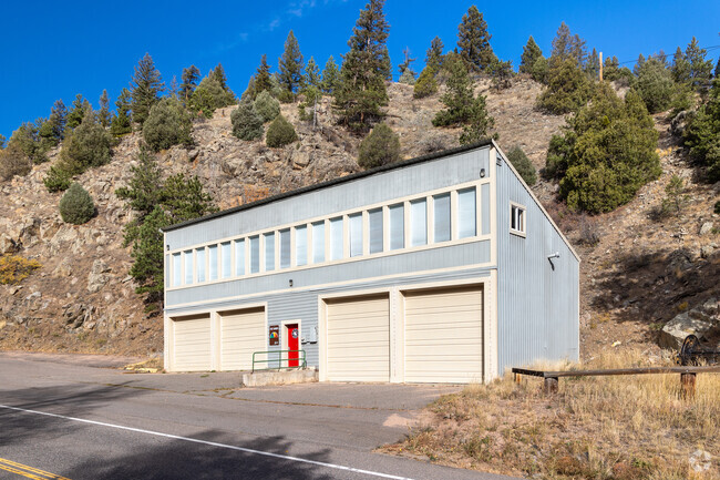
With Left Hand Creek flowing through the area, heavy rain creates a risk of roadways flooding. Homes found within the FEMA-designated flood zones may require higher insurance coverage. Glendale also has a potential risk of wildfires during the warmer months. To combat these environmental challenges, Station Four of the Lefthand Fire Protection District is in the neighborhood and responds to emergencies.
GreatSchools:
The GreatSchools Rating helps parents compare schools within a state based on a variety of school quality indicators and provides a helpful picture of how effectively each school serves all of its students. Ratings are on a scale of 1 (below average) to 10 (above average) and can include test scores, college readiness, academic progress, advanced courses, equity, discipline and attendance data. We also advise parents to visit schools, consider other information on school performance and programs, and consider family needs as part of the school selection process.
View GreatSchools Rating Methodology
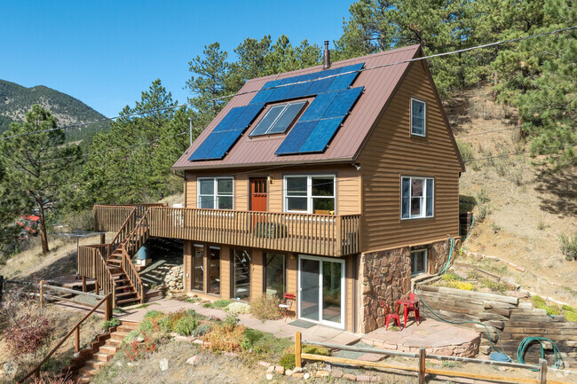
This distinctive mountain home offers a rare blend of privacy, natural beauty, and architectural character on nearly six private acres. Surrounded by forest and sweeping canyon views, the home has a modern treehouse feel, with expansive wraparound windows that flood the space with natural light and bring the outdoors in. Inside, soaring 20-foot ceilings and hardwood floors anchor an open,
This unique 1,800 square foot house sits on 8.41 acres of land, offering breathtaking panoramic mountain views. The home features an open layout with hardwood floors in the kitchen and dining room and large windows that allow for an abundance of natural light. The property's exterior blends seamlessly with the greenery and mountainous terrain that surrounds the home. The spacious outdoor deck
Local Logic measures the walkability, access to public transit and bikeability of any address. CAP Index provides objective, accurate, and consistent data to help measure, compare, and mitigate crime risks.
Disclaimer: Certain information contained herein is derived from information provided by parties other than Homes.com. Our sources include: Accuweather, Public Records and Neustar. All information provided is deemed reliable, but is not guaranteed to be accurate and should be independently verified.