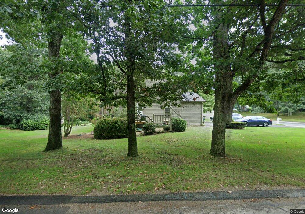
1 Tam o Shanter Rd Franklin, MA 02038
Estimated Value: $721,058 - $837,000
5
Beds
3
Baths
2,079
Sq Ft
$367/Sq Ft
Est. Value
About This Home
This home is located at 1 Tam o Shanter Rd, Franklin, MA 02038 and is currently estimated at $763,765, approximately $367 per square foot. 1 Tam o Shanter Rd is a home located in Norfolk County with nearby schools including Remington Middle School and Franklin High School.
Ownership History
Date
Name
Owned For
Owner Type
Purchase Details
Closed on
Oct 30, 2017
Sold by
Catherine F Stauber Re
Bought by
Raymodn & C Stauber Lt
Current Estimated Value
Home Financials for this Owner
Home Financials are based on the most recent Mortgage that was taken out on this home.
Original Mortgage
$660,000
Outstanding Balance
$563,364
Interest Rate
4.58%
Mortgage Type
Adjustable Rate Mortgage/ARM
Estimated Equity
$200,401
Purchase Details
Closed on
Dec 7, 2004
Sold by
Stauber Catherine F and Stauber Raymond H
Bought by
Catherine F Stauber Re and Stauber Catherine F
Create a Home Valuation Report for This Property
The Home Valuation Report is an in-depth analysis detailing your home's value as well as a comparison with similar homes in the area
Home Values in the Area
Average Home Value in this Area
Purchase History
| Date | Buyer | Sale Price | Title Company |
|---|---|---|---|
| Raymodn & C Stauber Lt | -- | -- | |
| Catherine F Stauber Re | -- | -- |
Source: Public Records
Mortgage History
| Date | Status | Borrower | Loan Amount |
|---|---|---|---|
| Open | Raymodn & C Stauber Lt | $660,000 |
Source: Public Records
Tax History Compared to Growth
Tax History
| Year | Tax Paid | Tax Assessment Tax Assessment Total Assessment is a certain percentage of the fair market value that is determined by local assessors to be the total taxable value of land and additions on the property. | Land | Improvement |
|---|---|---|---|---|
| 2025 | $7,106 | $611,500 | $338,500 | $273,000 |
| 2024 | $6,920 | $586,900 | $338,500 | $248,400 |
| 2023 | $6,823 | $542,400 | $294,000 | $248,400 |
| 2022 | $6,223 | $442,900 | $222,700 | $220,200 |
| 2021 | $6,238 | $425,800 | $255,800 | $170,000 |
| 2020 | $5,911 | $407,400 | $245,300 | $162,100 |
| 2019 | $5,817 | $396,800 | $234,800 | $162,000 |
| 2018 | $5,457 | $372,500 | $226,400 | $146,100 |
| 2017 | $5,186 | $355,700 | $209,600 | $146,100 |
| 2016 | $5,075 | $350,000 | $224,400 | $125,600 |
| 2015 | $5,028 | $338,800 | $213,200 | $125,600 |
| 2014 | $4,517 | $312,600 | $187,000 | $125,600 |
Source: Public Records
Map
Nearby Homes
- 50 Reed Fulton Ave Unit Lot 61
- 11 Elliot Mills Unit 11
- 1 Uncas Ave
- 12 Waites Crossing Way
- 64 Uncas Ave
- 70 Uncas Ave
- 570 Franklin St
- 82 Uncas Ave Unit 1
- 67 Milliken Ave Unit 22
- 159 E Central St
- 40 Cross St
- 90 E Central St Unit 103
- 90 E Central St Unit 106
- 90 E Central St Unit 304
- 90 E Central St Unit 202
- 90 E Central St Unit 105
- 90 E Central St Unit 301
- 99 Summer St
- 29 Lawrence Dr
- 55 Lawrence Dr Unit 55
- 205 Jordan Rd
- 206 Jordan Rd
- 215 Jordan Rd
- 208 Jordan Rd
- 2 Tam o Shanter Rd
- 5 Tam o Shanter Rd
- 212 Jordan Rd
- 204 Jordan Rd
- 2 Burning Tree Rd
- 216 Jordan Rd
- 691 E Central St
- 691 E Central St Unit 1
- 7 Tam o Shanter Rd
- 220 Jordan Rd
- 60 Country Club Dr
- 140 Jordan Rd
- 4 Burning Tree Rd
- 4 Tam o Shanter Rd
- 655 E Central St
- 621 E Central St