10 Boldwater Rd Edgartown, MA 02539
Edgartown NeighborhoodEstimated Value: $2,668,000 - $3,958,106
3
Beds
3
Baths
1,442
Sq Ft
$2,386/Sq Ft
Est. Value
About This Home
This home is located at 10 Boldwater Rd, Edgartown, MA 02539 and is currently estimated at $3,440,035, approximately $2,385 per square foot. 10 Boldwater Rd is a home located in Dukes County with nearby schools including Edgartown Elementary School and Martha's Vineyard Regional High School.
Ownership History
Date
Name
Owned For
Owner Type
Purchase Details
Closed on
Jul 12, 2019
Sold by
Newman Frank N and Newman Lizabeth A
Bought by
3 Amigos Hldg Co Llc
Current Estimated Value
Home Financials for this Owner
Home Financials are based on the most recent Mortgage that was taken out on this home.
Original Mortgage
$2,500,000
Outstanding Balance
$2,190,223
Interest Rate
3.82%
Mortgage Type
Purchase Money Mortgage
Estimated Equity
$1,249,812
Create a Home Valuation Report for This Property
The Home Valuation Report is an in-depth analysis detailing your home's value as well as a comparison with similar homes in the area
Home Values in the Area
Average Home Value in this Area
Purchase History
| Date | Buyer | Sale Price | Title Company |
|---|---|---|---|
| 3 Amigos Hldg Co Llc | $200,000 | -- |
Source: Public Records
Mortgage History
| Date | Status | Borrower | Loan Amount |
|---|---|---|---|
| Open | 3 Amigos Hldg Co Llc | $2,500,000 |
Source: Public Records
Tax History Compared to Growth
Tax History
| Year | Tax Paid | Tax Assessment Tax Assessment Total Assessment is a certain percentage of the fair market value that is determined by local assessors to be the total taxable value of land and additions on the property. | Land | Improvement |
|---|---|---|---|---|
| 2025 | $8,435 | $3,183,000 | $1,867,800 | $1,315,200 |
| 2024 | $7,959 | $3,121,000 | $1,867,800 | $1,253,200 |
| 2023 | $6,688 | $2,654,100 | $1,634,000 | $1,020,100 |
| 2022 | $5,271 | $1,739,600 | $1,431,100 | $308,500 |
| 2021 | $4,170 | $1,271,200 | $1,271,200 | $0 |
| 2020 | $4,259 | $1,271,200 | $1,271,200 | $0 |
| 2019 | $3,689 | $953,300 | $953,300 | $0 |
| 2018 | $3,464 | $1,068,900 | $1,068,900 | $0 |
| 2017 | $3,282 | $924,500 | $924,500 | $0 |
| 2016 | $2,916 | $805,600 | $805,600 | $0 |
| 2015 | $2,795 | $805,600 | $805,600 | $0 |
Source: Public Records
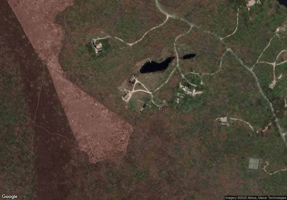
Map
Nearby Homes
- 4 Boldwater Rd
- 2 Jacob's Neck Rd Unit 2
- 6 Janes Cove Rd
- 4 Jacobs Neck Rd
- 3 Jacobs Neck Road (North Lot 1) Unit 2
- 3 Jacob's Neck Rd Unit 2
- 33 Boldwater Rd
- 501 W Tisbury Rd Unit 2.1
- 501 W Tisbury Rd
- 4 Hye Ln
- 15 Night Heron Rd
- 357 W Tisbury Rd
- 46 Bold Meadow Rd
- 7 Marthas Rd
- 58 Marthas Rd
- 58 Marthas Rd Unit 70
- 28 Marthas Rd
- 61 Butlers Cove Rd
- 78 Whalers Walk
- 63 Division Rd Unit 46
- 12 and 10 Boldwater Rd
- 10 & 12 Boldwater Rd
- 12 Boldwater Rd
- 8 Boldwater Rd
- 14 Boldwater Rd
- 6 Boldwater Rd
- 9 Boldwater Rd
- 13 Boldwater Rd
- 15 Boldwater Rd
- 17 Boldwater Rd
- 7 Boldwater Rd
- 2 Jacobs Neck Rd
- 5 Boldwater Rd
- 19 Boldwater Rd
- 2 Boldwater Rd
- 3 Boldwater Rd
- 21 Boldwater Rd
- 6 Jane's Cove Rd
- 8 Jane's Cove Rd
- 8 Janes Cove Rd