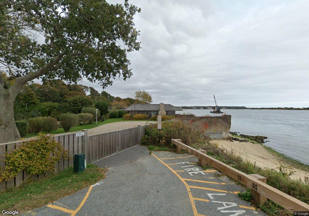
100 Cross St Cotuit, MA 2635
Cotuit NeighborhoodEstimated Value: $1,713,000 - $3,059,000
3
Beds
3
Baths
792
Sq Ft
$3,216/Sq Ft
Est. Value
About This Home
This home is located at 100 Cross St, Cotuit, MA 2635 and is currently estimated at $2,547,150, approximately $3,216 per square foot. 100 Cross St is a home located in Barnstable County with nearby schools including West Villages Elementary School, Barnstable United Elementary School, and Barnstable Intermediate School.
Ownership History
Date
Name
Owned For
Owner Type
Purchase Details
Closed on
Dec 16, 2024
Sold by
Ausiello Dennis A
Bought by
Dennis A Ausiello Ret and Ausiello
Current Estimated Value
Purchase Details
Closed on
Jan 13, 2011
Sold by
Belanger Michael P and Belanger Gisa E
Bought by
Ausiello Dennis A and Slifka Eric S
Purchase Details
Closed on
Dec 17, 2007
Sold by
Belanger Gisa E and Belanger Michael P
Bought by
Belanger Gisa E and Belanger Michael P
Create a Home Valuation Report for This Property
The Home Valuation Report is an in-depth analysis detailing your home's value as well as a comparison with similar homes in the area
Home Values in the Area
Average Home Value in this Area
Purchase History
| Date | Buyer | Sale Price | Title Company |
|---|---|---|---|
| Dennis A Ausiello Ret | -- | None Available | |
| Dennis A Ausiello Ret | -- | None Available | |
| Ausiello Dennis A | $1,250,000 | -- | |
| Belanger Gisa E | -- | -- | |
| Ausiello Dennis A | $1,250,000 | -- | |
| Belanger Gisa E | -- | -- |
Source: Public Records
Mortgage History
| Date | Status | Borrower | Loan Amount |
|---|---|---|---|
| Previous Owner | Belanger Gisa E | $350,000 | |
| Previous Owner | Belanger Gisa E | $300,000 | |
| Previous Owner | Belanger Gisa E | $250,000 |
Source: Public Records
Tax History Compared to Growth
Tax History
| Year | Tax Paid | Tax Assessment Tax Assessment Total Assessment is a certain percentage of the fair market value that is determined by local assessors to be the total taxable value of land and additions on the property. | Land | Improvement |
|---|---|---|---|---|
| 2025 | $24,272 | $2,906,800 | $2,633,400 | $273,400 |
| 2024 | $22,910 | $2,907,300 | $2,633,400 | $273,900 |
| 2023 | $14,627 | $1,747,600 | $1,513,600 | $234,000 |
| 2022 | $20,448 | $1,977,600 | $1,782,500 | $195,100 |
| 2021 | $20,805 | $1,945,900 | $1,782,500 | $163,400 |
| 2020 | $0 | $1,246,000 | $1,087,200 | $158,800 |
| 2019 | $20,761 | $1,270,900 | $1,128,700 | $142,200 |
| 2018 | $15,477 | $1,302,800 | $1,188,200 | $114,600 |
| 2017 | $15,370 | $1,302,500 | $1,188,200 | $114,300 |
| 2016 | $15,911 | $1,382,400 | $1,268,100 | $114,300 |
| 2015 | $15,198 | $1,319,300 | $1,173,900 | $145,400 |
Source: Public Records
Map
Nearby Homes
- 188 Ocean View Ave
- 1081 Main St
- 30 Wings Ln
- 1311 Main St
- 43 Poponessett Rd
- 6 Cedar St
- 6 Cedar St
- 916 Main St
- 46 Oak St
- 46 Oak St
- 266 School St
- 5 Putnam Ave
- Lot 288 Seapuit River Rd A
- 135 Putnam Ave
- 440 Grand Island Dr
- 105 Bay Rd
- Lot 289 Seapuit River Road B
- 15 Riverview Ave Unit 15E
- 15 E Riverview Ave Unit 15E
- 640 Poponessett Rd
- 100 Cross St
- 80 Cross St
- 149 Ocean View Ave
- 69 Ocean View Ave
- 165 Ocean View Ave
- 131 Ocean View Ave
- 91 Bluff Point Dr
- 185 Oceanview Ave
- 71 Ocean View Ave
- 107 Bluff Point Dr
- 81 Bluff Point Dr
- 185 Ocean View Ave
- 142 Ocean View Ave
- 134 Ocean View Ave
- 142 Oceanview Ave
- 128 Ocean View Ave
- 59 Bluff Point Dr
- 164 Ocean View Ave
- 164 Oceanview Ave
- 120 Oceanview Ave