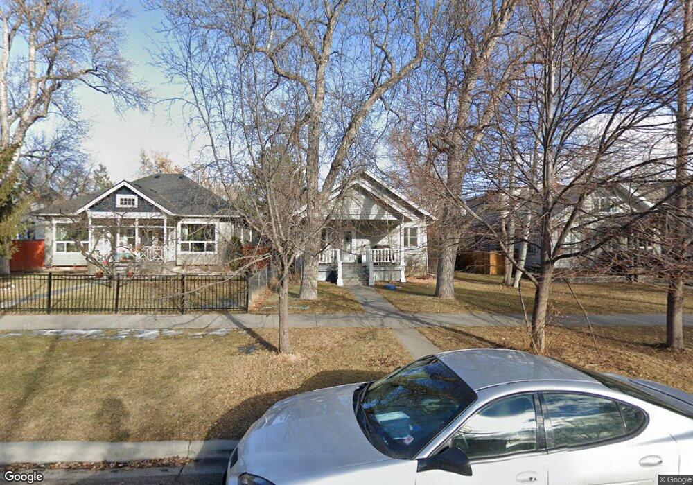
1029 N 31st St Billings, MT 59101
Hilands NeighborhoodEstimated Value: $411,000 - $466,000
2
Beds
2
Baths
2,994
Sq Ft
$150/Sq Ft
Est. Value
About This Home
This home is located at 1029 N 31st St, Billings, MT 59101 and is currently estimated at $448,052, approximately $149 per square foot. 1029 N 31st St is a home located in Yellowstone County with nearby schools including McKinley School, Lewis & Clark Junior High School, and Billings Senior High School.
Ownership History
Date
Name
Owned For
Owner Type
Purchase Details
Closed on
Jun 23, 2017
Sold by
Livingston Kevin
Bought by
Huschka Mary and Huschka Steve
Current Estimated Value
Home Financials for this Owner
Home Financials are based on the most recent Mortgage that was taken out on this home.
Original Mortgage
$150,000
Outstanding Balance
$124,357
Interest Rate
3.9%
Estimated Equity
$323,695
Purchase Details
Closed on
Jun 17, 2011
Sold by
Walker W Scott
Bought by
Livingston Kevin
Home Financials for this Owner
Home Financials are based on the most recent Mortgage that was taken out on this home.
Original Mortgage
$233,916
Interest Rate
4.25%
Mortgage Type
FHA
Purchase Details
Closed on
Oct 27, 2005
Sold by
Walker Lori J
Bought by
Walker W Scott
Create a Home Valuation Report for This Property
The Home Valuation Report is an in-depth analysis detailing your home's value as well as a comparison with similar homes in the area
Home Values in the Area
Average Home Value in this Area
Purchase History
| Date | Buyer | Sale Price | Title Company |
|---|---|---|---|
| Huschka Mary | $176,500 | -- | |
| Livingston Kevin | -- | None Available | |
| Walker W Scott | -- | None Available |
Source: Public Records
Mortgage History
| Date | Status | Borrower | Loan Amount |
|---|---|---|---|
| Open | Huschka Mary | $150,000 | |
| Closed | Huschka Mary | -- | |
| Previous Owner | Livingston Kevin | $233,916 |
Source: Public Records
Tax History
| Year | Tax Paid | Tax Assessment Tax Assessment Total Assessment is a certain percentage of the fair market value that is determined by local assessors to be the total taxable value of land and additions on the property. | Land | Improvement |
|---|---|---|---|---|
| 2025 | $4,014 | $449,200 | $65,875 | $383,325 |
| 2024 | $4,014 | $416,200 | $59,054 | $357,146 |
| 2023 | $3,992 | $416,200 | $59,054 | $357,146 |
| 2022 | $3,339 | $303,000 | $0 | $0 |
| 2021 | $3,180 | $303,000 | $0 | $0 |
| 2020 | $3,059 | $277,300 | $0 | $0 |
| 2019 | $2,912 | $277,300 | $0 | $0 |
| 2018 | $2,756 | $256,800 | $0 | $0 |
| 2017 | $2,647 | $253,700 | $0 | $0 |
| 2016 | $2,460 | $236,600 | $0 | $0 |
| 2015 | $2,399 | $236,600 | $0 | $0 |
| 2014 | $2,140 | $111,564 | $0 | $0 |
Source: Public Records
Map
Nearby Homes
- 202 Avenue E
- 240 Beverly Hill Blvd
- 1907 St Peter Ln
- 1933 St Peter Ln
- 1919 St Peter Ln
- 1929 St Peter Ln
- 1925 St Peter Ln
- 1913 St Peter Ln
- 310 Beverly Hill Blvd
- 41 Avenue B
- 125 Avenue B
- 2223 Elm St
- 229 Avenue B
- 135 Grand Ave
- 2317 Pine St
- 1114 N 24th St
- 811 N 25th St
- 509 Avenue E
- 1121 N 24th St
- 607 26th St W
- 1033 N 31st St
- 1025 N 31st St
- 1037 N 31st St
- 1023 N 31st St
- 1041 N 31st St
- 1019 N 31st St
- 1043 N 31st St Unit 1043
- 1038 N 30th St
- 1015 N 31st St
- 1022 N 30th St
- 1045 N 31st St
- 3016 11th Ave N
- 1044 N 30th St
- 1024 N 31st St
- 1036 N 31st St
- 1018 N 30th St
- 1011 N 31st St
- 1040 N 31st St
- 1048 N 30th St
- 1020 N 31st St
Your Personal Tour Guide
Ask me questions while you tour the home.