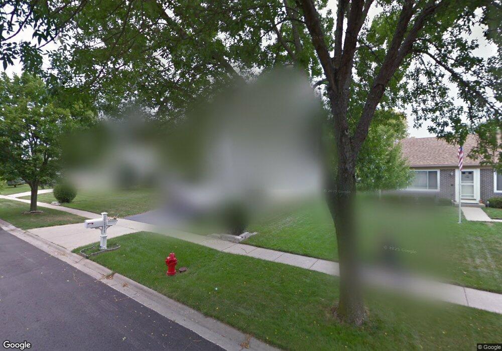
1031 Prairie Dr Algonquin, IL 60102
Estimated Value: $420,000 - $448,000
About This Home
This home is located at 1031 Prairie Dr, Algonquin, IL 60102 and is currently estimated at $430,564, approximately $188 per square foot. 1031 Prairie Dr is a home located in McHenry County with nearby schools including Algonquin Lakes Elementary School, Algonquin Middle School, and Dundee-Crown High School.
Ownership History
We collect this data history from publicly available records. To have your information removed, we recommend requesting removal directly through your county’s website.
Purchase Details
Home Financials for this Owner
Home Financials are based on the most recent Mortgage that was taken out on this home.Purchase History
We collect this data history from publicly available records. To have your information removed, we recommend requesting removal directly through your county’s website.
| Date | Buyer | Sale Price | Title Company |
|---|---|---|---|
| $275,000 | Universal Title Services Inc |
Mortgage History
We collect this data history from publicly available records. To have your information removed, we recommend requesting removal directly through your county’s website.
| Date | Status | Borrower | Loan Amount |
|---|---|---|---|
| Open | $220,000 | ||
| Closed | $27,500 |
Tax History
We collect this data history from publicly available records. To have your information removed, we recommend requesting removal directly through your county’s website.
| Year | Tax Paid | Tax Assessment Tax Assessment Total Assessment is a certain percentage of the fair market value that is determined by local assessors to be the total taxable value of land and additions on the property. | Land | Improvement |
|---|---|---|---|---|
| 2024 | $9,896 | $134,504 | $21,417 | $113,087 |
| 2023 | $9,401 | $120,297 | $19,155 | $101,142 |
| 2022 | $7,451 | $92,879 | $20,766 | $72,113 |
| 2021 | $7,145 | $86,528 | $19,346 | $67,182 |
| 2020 | $6,956 | $83,465 | $18,661 | $64,804 |
| 2019 | $6,785 | $79,886 | $17,861 | $62,025 |
| 2018 | $7,703 | $86,811 | $16,912 | $69,899 |
| 2017 | $7,546 | $81,781 | $15,932 | $65,849 |
| 2016 | $7,435 | $76,703 | $14,943 | $61,760 |
| 2013 | -- | $71,846 | $13,939 | $57,907 |
Map
- 1730 Tanglewood Dr
- 1320 Yellowstone Pkwy
- 1120 Redwood Dr
- 1782 Cumberland Pkwy
- 1915 Ozark Pkwy
- 1945 Ozark Pkwy
- 2150 Cumberland Pkwy
- 1770 E Algonquin Rd
- Lot 4 b Ryan Pkwy
- 1000 Timberwood Ln
- 2107 Teton Pkwy
- 1010 Wesley Ln
- 1220 Old Mill Ln
- 3 Auburn Ln
- 2150 E Algonquin Rd
- 4 Auburn Ln
- 915 Old Oak Cir
- 11 Oxford Ct
- 1188 E Algonquin Rd
- 26 Washtenaw St
Ask me questions while you tour the home.