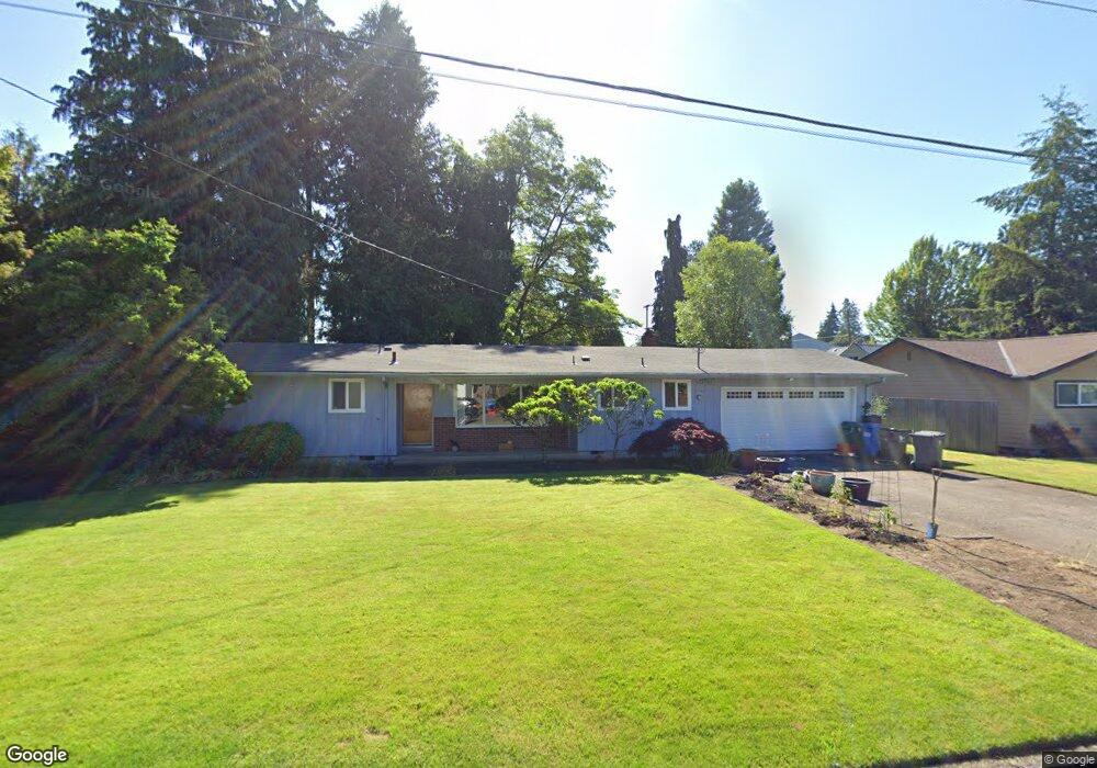
1033 Jayne St Eugene, OR 97404
River Road NeighborhoodEstimated Value: $400,000 - $470,000
3
Beds
2
Baths
1,638
Sq Ft
$266/Sq Ft
Est. Value
About This Home
This home is located at 1033 Jayne St, Eugene, OR 97404 and is currently estimated at $435,210, approximately $265 per square foot. 1033 Jayne St is a home located in Lane County with nearby schools including River Road/El Camino del Río Elementary School, Kelly Middle School, and North Eugene High School.
Ownership History
Date
Name
Owned For
Owner Type
Purchase Details
Closed on
Apr 23, 2010
Sold by
Karr Jean T and Hughes Patricia Jean
Bought by
Karr Jean T and Hughes Patricia Jean
Current Estimated Value
Home Financials for this Owner
Home Financials are based on the most recent Mortgage that was taken out on this home.
Original Mortgage
$75,000
Interest Rate
4.92%
Mortgage Type
New Conventional
Purchase Details
Closed on
Mar 2, 2004
Sold by
Karr Jean T
Bought by
Karr Jean T and Hughes Patricia Jean
Create a Home Valuation Report for This Property
The Home Valuation Report is an in-depth analysis detailing your home's value as well as a comparison with similar homes in the area
Home Values in the Area
Average Home Value in this Area
Purchase History
| Date | Buyer | Sale Price | Title Company |
|---|---|---|---|
| Karr Jean T | -- | Fidelity National Title Insu | |
| Karr Jean T | -- | -- |
Source: Public Records
Mortgage History
| Date | Status | Borrower | Loan Amount |
|---|---|---|---|
| Closed | Karr Jean T | $75,000 |
Source: Public Records
Tax History
| Year | Tax Paid | Tax Assessment Tax Assessment Total Assessment is a certain percentage of the fair market value that is determined by local assessors to be the total taxable value of land and additions on the property. | Land | Improvement |
|---|---|---|---|---|
| 2025 | $4,037 | $240,315 | -- | -- |
| 2024 | $3,993 | $233,316 | -- | -- |
| 2023 | $3,993 | $226,521 | $0 | $0 |
| 2022 | $3,756 | $219,924 | $0 | $0 |
| 2021 | $3,493 | $213,519 | $0 | $0 |
| 2020 | $3,518 | $207,300 | $0 | $0 |
| 2019 | $3,377 | $201,263 | $0 | $0 |
| 2018 | $3,123 | $189,710 | $0 | $0 |
| 2017 | $2,924 | $189,710 | $0 | $0 |
| 2016 | $2,790 | $184,184 | $0 | $0 |
| 2015 | $2,643 | $178,819 | $0 | $0 |
| 2014 | $2,653 | $173,611 | $0 | $0 |
Source: Public Records
Map
Nearby Homes
- 1010 Elkay Dr
- 32 Marion Ln
- 820 Park Terrace
- 1010 Horn Ln
- 825 Filbert Ave
- 260 Greenleaf Ave
- 895 Glory Dr
- 172 Oakleigh Ln Unit 513
- 172 Oakleigh Ln Unit 221
- 1314 Dalton Dr
- 0 River Rd Unit 634143722
- 1633 Zoe Ave
- 1621 Zoe Ave
- 574 Wimbledon Ct
- 1483 Barton St
- 1487 Barton St
- 606 Wimbledon Ct
- 172 Norman Ave
- 1665 Evergreen Dr
- 788 Cornwall Ave
- 1015 Jayne St
- 1030 Lund Dr
- 1047 Jayne St
- 1120 Lund Dr
- 149 W Hilliard Ln
- 1038 Jayne St
- 161 W Hilliard Ln
- 65 Lund Dr
- 1050 Jayne St
- 43 Lund Dr
- 145 W Hilliard Ln
- 165 W Hilliard Ln
- 1125 Trail Ave
- 158 W Hilliard Ln
- 61 Lund Dr
- 154 W Hilliard Ln
- 1195 Trail Ave
- 162 W Hilliard Ln
- 1120 Trail Ave
- 1190 Trail Ave
Your Personal Tour Guide
Ask me questions while you tour the home.