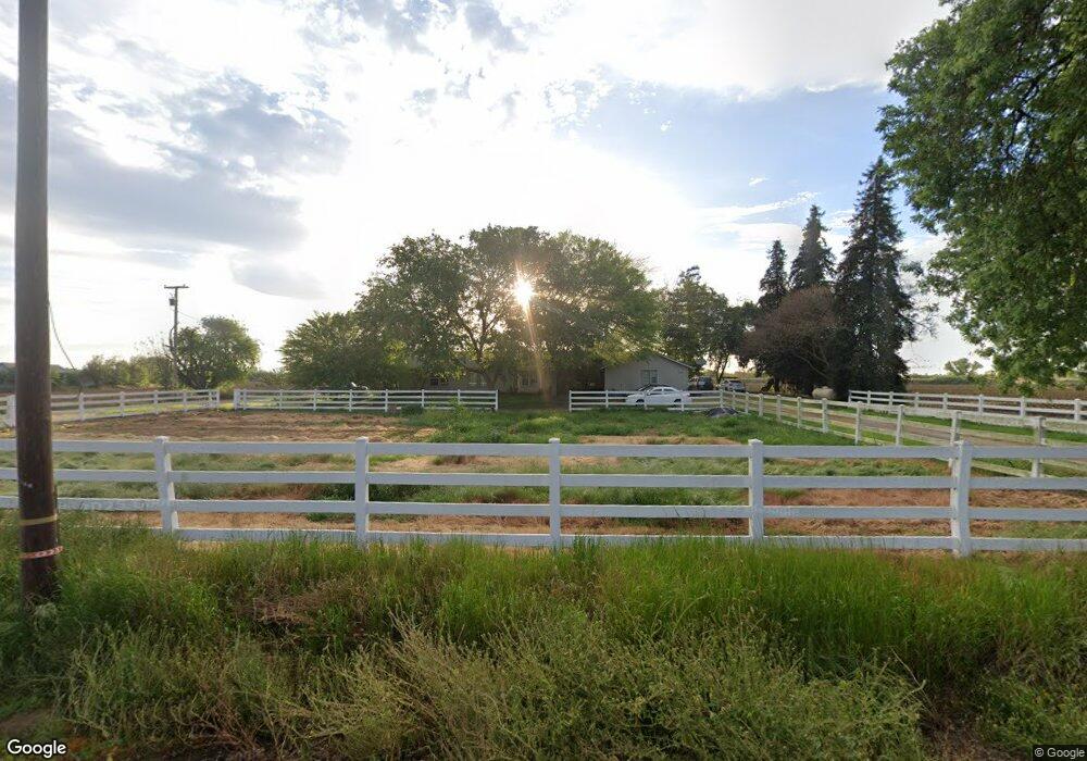
1040 Rogers Rd Atwater, CA 95301
Estimated Value: $532,000 - $822,023
3
Beds
2
Baths
1,750
Sq Ft
$380/Sq Ft
Est. Value
About This Home
This home is located at 1040 Rogers Rd, Atwater, CA 95301 and is currently estimated at $665,674, approximately $380 per square foot. 1040 Rogers Rd is a home located in Merced County with nearby schools including McSwain Elementary School, Buhach Colony High School, and Merced Scholars Charter School.
Ownership History
Date
Name
Owned For
Owner Type
Purchase Details
Closed on
Jan 28, 2011
Sold by
Daniels David C and Daniels Bev L
Bought by
Daniels Bev L
Current Estimated Value
Purchase Details
Closed on
Jan 27, 2006
Sold by
Daniels David C and Daniels Bev L
Bought by
Enos William J and Daniels David C
Home Financials for this Owner
Home Financials are based on the most recent Mortgage that was taken out on this home.
Original Mortgage
$310,000
Interest Rate
5.87%
Mortgage Type
Stand Alone Refi Refinance Of Original Loan
Create a Home Valuation Report for This Property
The Home Valuation Report is an in-depth analysis detailing your home's value as well as a comparison with similar homes in the area
Home Values in the Area
Average Home Value in this Area
Purchase History
| Date | Buyer | Sale Price | Title Company |
|---|---|---|---|
| Daniels Bev L | -- | None Available | |
| Enos William J | -- | None Available | |
| Daniels David C | -- | Fidelity Natl Title Co Of Ca |
Source: Public Records
Mortgage History
| Date | Status | Borrower | Loan Amount |
|---|---|---|---|
| Closed | Daniels David C | $310,000 |
Source: Public Records
Tax History Compared to Growth
Tax History
| Year | Tax Paid | Tax Assessment Tax Assessment Total Assessment is a certain percentage of the fair market value that is determined by local assessors to be the total taxable value of land and additions on the property. | Land | Improvement |
|---|---|---|---|---|
| 2025 | $4,088 | $388,984 | $191,468 | $197,516 |
| 2024 | $4,088 | $381,358 | $187,714 | $193,644 |
| 2023 | $4,005 | $373,882 | $184,034 | $189,848 |
| 2022 | $3,949 | $366,552 | $180,426 | $186,126 |
| 2021 | $3,910 | $359,366 | $176,889 | $182,477 |
| 2020 | $3,868 | $355,682 | $175,076 | $180,606 |
| 2019 | $3,682 | $348,709 | $171,644 | $177,065 |
Source: Public Records
Map
Nearby Homes
- 2590 N Gurr Rd
- 2315 W State Highway 140
- 5030 Cardiff Ln
- 0 Moran Ave
- 0 Noah Dr
- 2020 Ashby Rd Unit 68
- 2020 Ashby Rd
- 2020 Ashby Rd Unit 88
- 2801 Trindade Rd
- 2152 Fern St
- 1071 Prince William Ct
- 1021 Prince William Ct
- 2290 Fern St
- 2577 Lobo Ave
- 2638 Valley Dr
- 2487 Wolf St
- 2362 Fern St
- 2915 Balsam Way
- 2574 Pinedale Ave
- 2039 Cambridge Dr
- 1305 Gurr Rd
- 800 N Gurr Rd
- 1225 N Gurr Rd
- 3301 W State Highway 140
- 3425 W State Highway 140
- 4124 W State Highway 140
- 3254 State Highway 140
- 3253 W State Highway 140
- 729 N Gurr Rd
- 4029 Vaughn Ave
- 1218 Persimmon Way
- 1651 N Gurr Rd
- 4294 W State Highway 140
- 1215 Persimmon Way
- 1216 Persimmon Way
- 1195 Persimmon Way
- 1196 Persimmon Way
- 1175 Persimmon Way
- 4340 W State Highway 140
- 1176 Persimmon Way