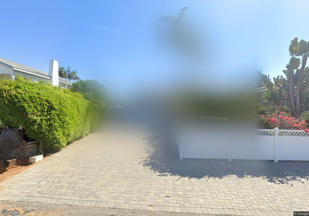
1045 Cornish Dr Encinitas, CA 92024
Central Encinitas NeighborhoodEstimated Value: $2,403,000 - $3,518,000
4
Beds
2
Baths
2,699
Sq Ft
$1,128/Sq Ft
Est. Value
About This Home
This home is located at 1045 Cornish Dr, Encinitas, CA 92024 and is currently estimated at $3,044,030, approximately $1,127 per square foot. 1045 Cornish Dr is a home located in San Diego County with nearby schools including Paul Ecke-Central Elementary, Oak Crest Middle School, and La Costa Canyon High School.
Ownership History
Date
Name
Owned For
Owner Type
Purchase Details
Closed on
Aug 19, 2019
Sold by
Bangert Larry S and Bangert Jody H
Bought by
Bangert Larry S and Bangert Jody Hammond
Current Estimated Value
Purchase Details
Closed on
Jun 17, 2003
Sold by
Rice Thomas S and Rice Joyce E
Bought by
Bangert Larry S and Bangert Jody H
Home Financials for this Owner
Home Financials are based on the most recent Mortgage that was taken out on this home.
Original Mortgage
$250,000
Interest Rate
5.29%
Mortgage Type
Purchase Money Mortgage
Purchase Details
Closed on
May 20, 2002
Sold by
Rice Thomas S and Rice Joyce E
Bought by
Rice Thomas S and Rice Joyce E
Purchase Details
Closed on
Jan 23, 1998
Sold by
Rice Family Trust 07-07-95 and Thomas S
Bought by
Rice Thomas S and Rice Joyce E
Purchase Details
Closed on
Feb 25, 1997
Sold by
Rice Thomas S and Rice Joyce E
Bought by
Rice Thomas S and Rice Joyce E
Home Financials for this Owner
Home Financials are based on the most recent Mortgage that was taken out on this home.
Original Mortgage
$306,000
Interest Rate
7.37%
Purchase Details
Closed on
Jan 14, 1997
Sold by
Rice Family Trust 07-07-95 and Thomas S
Bought by
Rice Thomas S and Rice Joyce E
Home Financials for this Owner
Home Financials are based on the most recent Mortgage that was taken out on this home.
Original Mortgage
$306,000
Interest Rate
7.37%
Purchase Details
Closed on
Jul 7, 1995
Sold by
Rice Thomas S and Rice Joyce E
Bought by
Rice Thomas S and Rice Joyce E
Purchase Details
Closed on
Aug 5, 1992
Purchase Details
Closed on
May 23, 1988
Purchase Details
Closed on
Mar 20, 1987
Create a Home Valuation Report for This Property
The Home Valuation Report is an in-depth analysis detailing your home's value as well as a comparison with similar homes in the area
Home Values in the Area
Average Home Value in this Area
Purchase History
| Date | Buyer | Sale Price | Title Company |
|---|---|---|---|
| Bangert Larry S | -- | None Available | |
| Bangert Larry S | $989,000 | New Century Title Company | |
| Rice Thomas S | -- | -- | |
| Rice Thomas S | -- | Gateway Title Company | |
| Rice Thomas S | -- | Southland Title | |
| Rice Thomas S | -- | Southland Title | |
| Rice Thomas S | -- | -- | |
| -- | $397,000 | -- | |
| -- | $259,000 | -- | |
| -- | $220,000 | -- |
Source: Public Records
Mortgage History
| Date | Status | Borrower | Loan Amount |
|---|---|---|---|
| Previous Owner | Bangert Larry S | $250,000 | |
| Previous Owner | Rice Thomas S | $306,000 |
Source: Public Records
Tax History
| Year | Tax Paid | Tax Assessment Tax Assessment Total Assessment is a certain percentage of the fair market value that is determined by local assessors to be the total taxable value of land and additions on the property. | Land | Improvement |
|---|---|---|---|---|
| 2025 | $11,203 | $1,018,067 | $450,369 | $567,698 |
| 2024 | $11,203 | $998,106 | $441,539 | $556,567 |
| 2023 | $10,913 | $978,536 | $432,882 | $545,654 |
| 2022 | $10,758 | $959,350 | $424,395 | $534,955 |
| 2021 | $10,453 | $940,540 | $416,074 | $524,466 |
| 2020 | $10,477 | $930,897 | $411,808 | $519,089 |
| 2019 | $10,271 | $912,645 | $403,734 | $508,911 |
| 2018 | $10,051 | $894,751 | $395,818 | $498,933 |
| 2017 | $9,921 | $877,207 | $388,057 | $489,150 |
| 2016 | $9,658 | $860,008 | $380,449 | $479,559 |
| 2015 | $9,486 | $847,091 | $374,735 | $472,356 |
| 2014 | $9,304 | $830,499 | $367,395 | $463,104 |
Source: Public Records
Map
Nearby Homes
- 937 3rd St
- 1180 Devonshire Dr
- 823 Stratford Dr
- 922 Sealane Dr Unit B
- 687 S Coast Highway 101 Unit 223
- 806 4th St
- 554 & 556 Stratford Dr
- 405 Requeza St Unit H9
- 407 Requeza St Unit E9
- 538 4th St
- 1506 Summit Ave
- 1044 Arcadia Rd
- 90 N Coast Highway 101 Unit 310
- 233 Mangano Cir
- 215 2nd St Unit 101
- 1632 Brahms Rd
- 103 Mangano Cir
- 231 5th St
- 201 4th St Unit A & B
- 135 4th St
- 1055 Cornish Dr
- 1035 Cornish Dr
- 1015 Cornish Dr Unit 17
- 1065 Cornish Dr
- 1040 San Dieguito Dr
- 1036 Cornish Dr
- 1050 San Dieguito Dr
- 1034 San Dieguito Dr
- 1036 Cornish Dr Unit 38
- 1034 Cornish Dr
- 1045 Dewitt Ave
- 1043 Dewitt Ave
- 1018 Cornish Dr Unit 22
- 1020 San Dieguito Dr
- 1056 San Dieguito Dr
- 1075 Cornish Dr Unit 77
- 1001 Cornish Dr Unit 3
- 1057 Dewitt Ave
- 1059 Dewitt Ave
- 55 E I St Unit U2
Your Personal Tour Guide
Ask me questions while you tour the home.