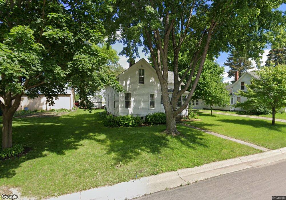
105 5th Ave NE Mapleton, MN 56065
Estimated Value: $89,316 - $212,000
3
Beds
2
Baths
846
Sq Ft
$179/Sq Ft
Est. Value
About This Home
This home is located at 105 5th Ave NE, Mapleton, MN 56065 and is currently estimated at $151,079, approximately $178 per square foot. 105 5th Ave NE is a home located in Blue Earth County with nearby schools including Maple River Secondary School.
Ownership History
Date
Name
Owned For
Owner Type
Purchase Details
Closed on
Mar 9, 2023
Sold by
Truebenbach John and Truebenbach Sandra
Bought by
Lamp Stuart
Current Estimated Value
Purchase Details
Closed on
Jan 6, 2016
Sold by
Gerdts Jeffrey E and Gerdts Jodie L
Bought by
Walters Michael P and Walters Michelle A
Home Financials for this Owner
Home Financials are based on the most recent Mortgage that was taken out on this home.
Original Mortgage
$118,598
Interest Rate
3.97%
Mortgage Type
FHA
Create a Home Valuation Report for This Property
The Home Valuation Report is an in-depth analysis detailing your home's value as well as a comparison with similar homes in the area
Purchase History
| Date | Buyer | Sale Price | Title Company |
|---|---|---|---|
| Lamp Stuart | $10,000 | -- | |
| Walters Michael P | $122,900 | Minnesota River Valley Title |
Source: Public Records
Mortgage History
| Date | Status | Borrower | Loan Amount |
|---|---|---|---|
| Previous Owner | Walters Michael P | $118,598 |
Source: Public Records
Tax History
| Year | Tax Paid | Tax Assessment Tax Assessment Total Assessment is a certain percentage of the fair market value that is determined by local assessors to be the total taxable value of land and additions on the property. | Land | Improvement |
|---|---|---|---|---|
| 2025 | $680 | $72,500 | $12,400 | $60,100 |
| 2024 | $680 | $67,900 | $12,400 | $55,500 |
| 2023 | $974 | $66,700 | $12,400 | $54,300 |
| 2022 | $1,246 | $60,800 | $12,400 | $48,400 |
| 2021 | $1,196 | $67,500 | $12,400 | $55,100 |
| 2020 | $966 | $61,700 | $12,400 | $49,300 |
| 2019 | $1,016 | $61,700 | $12,400 | $49,300 |
| 2018 | $998 | $63,700 | $12,400 | $51,300 |
| 2017 | $934 | $60,900 | $12,400 | $48,500 |
| 2016 | $932 | $54,000 | $12,400 | $41,600 |
| 2015 | $9 | $52,300 | $12,400 | $39,900 |
| 2014 | $976 | $168,900 | $37,200 | $131,700 |
Source: Public Records
Map
Nearby Homes
- 606 Smith St NE
- 205 3rd Ave SE
- 505 Grove St SE
- 206 3rd Ave SE
- 303 Grove St SE
- 204 Central Ave N
- 411 4th Ave SE
- 510 4th Ave SE
- 103 Calm Ct SW
- 55997 132nd St
- 13698 Maple Rd
- E 161st St
- 16225 563rd Ave
- 15135 550th Ave Unit 15135 550th Ave
- 217 S Houk St
- 61480 154th Ln
- 812 Main St N
- N Park St
- 57177 Juniper Rd
- 307 Dove St
- 103 5th Ave NE
- 103 5th Ave NE Unit Fifth
- 601 Main St E
- 101 5th Ave NE
- 106 5th Ave NE
- 507 Main St E
- 508 Silver St E
- 104 5th Ave NE
- 602 602 Ne Main St
- 505 Main St E
- 602 Main St E
- 603 Silver St E
- 608 Main St E
- 508 Main St E
- 605 Silver St E
- 506 Main St E
- 607 Silver St E
- 508 508 Ne Main St
- 204 6th Ave NE
- 504 Main St E
Your Personal Tour Guide
Ask me questions while you tour the home.