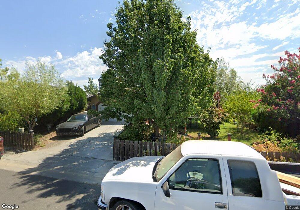
1055 McDonald Ct Corning, CA 96021
Estimated Value: $199,000 - $299,000
4
Beds
2
Baths
1,350
Sq Ft
$193/Sq Ft
Est. Value
About This Home
This home is located at 1055 McDonald Ct, Corning, CA 96021 and is currently estimated at $260,667, approximately $193 per square foot. 1055 McDonald Ct is a home with nearby schools including Olive View Elementary School, Maywood Middle School, and Corning High School.
Ownership History
Date
Name
Owned For
Owner Type
Purchase Details
Closed on
Jul 6, 2006
Sold by
Self Help Home Improvement Project
Bought by
Rodriguez Amador and Rodriguez Juana
Current Estimated Value
Home Financials for this Owner
Home Financials are based on the most recent Mortgage that was taken out on this home.
Original Mortgage
$137,000
Outstanding Balance
$92,274
Interest Rate
6.63%
Mortgage Type
USDA
Estimated Equity
$168,393
Create a Home Valuation Report for This Property
The Home Valuation Report is an in-depth analysis detailing your home's value as well as a comparison with similar homes in the area
Home Values in the Area
Average Home Value in this Area
Purchase History
| Date | Buyer | Sale Price | Title Company |
|---|---|---|---|
| Rodriguez Amador | $50,000 | Chicago Title Company |
Source: Public Records
Mortgage History
| Date | Status | Borrower | Loan Amount |
|---|---|---|---|
| Open | Rodriguez Amador | $137,000 |
Source: Public Records
Tax History Compared to Growth
Tax History
| Year | Tax Paid | Tax Assessment Tax Assessment Total Assessment is a certain percentage of the fair market value that is determined by local assessors to be the total taxable value of land and additions on the property. | Land | Improvement |
|---|---|---|---|---|
| 2025 | $2,495 | $237,258 | $68,114 | $169,144 |
| 2023 | $2,497 | $237,258 | $68,114 | $169,144 |
| 2022 | $2,511 | $237,258 | $68,114 | $169,144 |
| 2021 | $2,242 | $215,689 | $61,922 | $153,767 |
| 2020 | $1,991 | $187,555 | $53,845 | $133,710 |
| 2019 | $1,855 | $178,624 | $51,281 | $127,343 |
| 2018 | $1,724 | $162,385 | $46,619 | $115,766 |
| 2017 | $1,588 | $147,623 | $42,381 | $105,242 |
| 2016 | $1,438 | $140,593 | $40,363 | $100,230 |
| 2015 | -- | $140,593 | $40,363 | $100,230 |
| 2014 | $1,266 | $122,256 | $35,099 | $87,157 |
Source: Public Records
Map
Nearby Homes
- 1171 Peach St
- 705 Marin St
- 521 Divisidero Ave
- 707 Marin St
- 265 Mclane Cir
- 828 Hickory St
- 0 Moon Rd Unit SN25123868
- 575 North St
- 1134 4th Ave
- 1537 4th Ave
- 1212 Fig Ln
- 4019 Marguerite Ave
- 23671 Carona Ave
- 1162 5th Ave
- 0 Loleta Ave Unit SN25184964
- 818 6th St
- 1414 Marin St
- 23580 Loleta Ave
- 00 Mary Ave
- 1195 West St
- 1035 McDonald Ct
- 1085 McDonald Ct
- 1111 McDonald Ct
- 1031 McDonald Ct
- 936 Snow Peak St
- 1030 McDonald Ct
- 1155 McDonald Ct
- 1027 McDonald Ct
- 1020 McDonald Ct
- 1102 McDonald Ct
- 1150 McDonald Ct
- 1185 McDonald Ct
- 976 Snow Peak St
- 1017 McDonald Ct
- 1180 McDonald Ct
- 230 Taylor Ct
- 1013 McDonald Ct
- 220 Taylor Ct
- 916 Snow Peak St
- 931 Snow Peak St