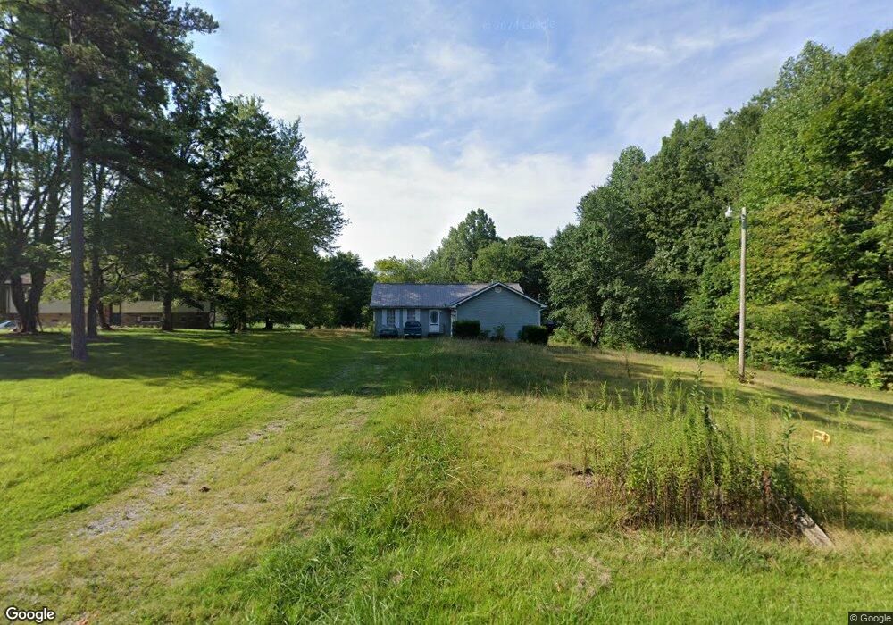
1057 N Shady Lane Loop Clarkrange, TN 38553
Estimated Value: $238,193 - $329,000
3
Beds
2
Baths
1,440
Sq Ft
$193/Sq Ft
Est. Value
About This Home
This home is located at 1057 N Shady Lane Loop, Clarkrange, TN 38553 and is currently estimated at $278,548, approximately $193 per square foot. 1057 N Shady Lane Loop is a home located in Fentress County.
Ownership History
Date
Name
Owned For
Owner Type
Purchase Details
Closed on
Aug 11, 2025
Sold by
Wilson Sherry F and Wilson Alyssa
Bought by
Wilson Sherry F and Wilson Alyssa
Current Estimated Value
Purchase Details
Closed on
Mar 27, 2014
Sold by
Conatser Shelby
Bought by
Wilson Sherry F and Wilson Terry
Purchase Details
Closed on
Mar 20, 2014
Sold by
Melton Cade D
Bought by
Conatser Shelby and Wilson Sherry F
Purchase Details
Closed on
Jul 17, 2006
Sold by
Geer Thomas F
Bought by
Melton Cade D
Home Financials for this Owner
Home Financials are based on the most recent Mortgage that was taken out on this home.
Original Mortgage
$91,800
Interest Rate
6.55%
Mortgage Type
Cash
Purchase Details
Closed on
Jan 27, 2004
Bought by
Geer Thomas F and Geer Hilda G
Purchase Details
Closed on
Dec 11, 1992
Bought by
Geer Rhonda J
Create a Home Valuation Report for This Property
The Home Valuation Report is an in-depth analysis detailing your home's value as well as a comparison with similar homes in the area
Home Values in the Area
Average Home Value in this Area
Purchase History
| Date | Buyer | Sale Price | Title Company |
|---|---|---|---|
| Wilson Sherry F | -- | None Listed On Document | |
| Wilson Sherry F | -- | None Listed On Document | |
| Wilson Sherry F | -- | -- | |
| Conatser Shelby | $84,400 | -- | |
| Melton Cade D | $95,000 | -- | |
| Geer Thomas F | $51,500 | -- | |
| Geer Rhonda J | $1,500 | -- |
Source: Public Records
Mortgage History
| Date | Status | Borrower | Loan Amount |
|---|---|---|---|
| Previous Owner | Geer Rhonda J | $91,800 |
Source: Public Records
Tax History Compared to Growth
Tax History
| Year | Tax Paid | Tax Assessment Tax Assessment Total Assessment is a certain percentage of the fair market value that is determined by local assessors to be the total taxable value of land and additions on the property. | Land | Improvement |
|---|---|---|---|---|
| 2025 | $505 | $37,425 | $0 | $0 |
| 2024 | $505 | $37,425 | $2,800 | $34,625 |
| 2023 | $546 | $40,425 | $2,800 | $37,625 |
| 2022 | $424 | $22,200 | $1,850 | $20,350 |
| 2021 | $424 | $22,200 | $1,850 | $20,350 |
| 2020 | $424 | $22,200 | $1,850 | $20,350 |
| 2019 | $424 | $22,200 | $1,850 | $20,350 |
| 2018 | $424 | $22,200 | $1,850 | $20,350 |
| 2017 | $451 | $22,725 | $1,850 | $20,875 |
| 2016 | $451 | $22,725 | $1,850 | $20,875 |
| 2015 | $451 | $22,711 | $0 | $0 |
| 2014 | $459 | $23,140 | $0 | $0 |
Source: Public Records
Map
Nearby Homes
- 6006 S York Hwy
- 145 Rhum Rd
- 6105 S York Hwy
- 6105 S South York Hwy
- 5740 S York Hwy
- 00 Fox Ridge Dr
- 1011 Fox Ridge Dr
- 101 MacA Ridge Cir
- 106 MacA Ridge Cir
- 1101 Franklin Loop
- 545 Shelby Way
- 634 Robs Rd
- 1255 Franklin Loop
- 338 Swallows Crossing
- 164 Green Acres
- 1383 Old Bean Shed Rd
- 5550 S York Hwy
- 5534 S York Hwy
- 2019 Martha Washington Rd
- 1174 Hargis Rd
- 1055 N Shady Lane Loop
- 49 N Shady Lane Loop
- Lot 45 N Shady Lane Loop
- Lot 36 N Shady Lane Loop
- Lot 32 N Shady Lane Loop
- 1065 N Shady Lane Loop
- 1051 N Shady Lane Loop
- 1071 N Shady Lane Loop
- Lot 52 N Shady Lane Loop
- 1058 N Shady Lane Loop
- 1056 N Shady Lane Loop
- 1066 N Shady Lane Loop
- 1052 N Shady Lane Loop
- 0 N Shady Ln Unit 144433
- 0 N Shady Ln Unit 682369
- 0 N Shady Ln Unit 744285
- 0 N Shady Ln Unit 766115
- 1075 N Shady Lane Loop
- 1070 N Shady Lane Loop
- 1050 N Shady Lane Loop