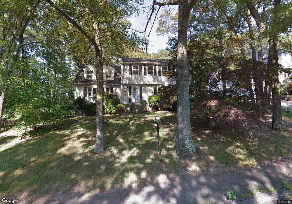
107 Pine Ridge Dr Franklin, MA 02038
Estimated Value: $716,000 - $810,000
5
Beds
3
Baths
2,682
Sq Ft
$285/Sq Ft
Est. Value
About This Home
This home is located at 107 Pine Ridge Dr, Franklin, MA 02038 and is currently estimated at $764,628, approximately $285 per square foot. 107 Pine Ridge Dr is a home located in Norfolk County with nearby schools including Oak Street Elementary School, Horace Mann Middle School, and Franklin High School.
Ownership History
Date
Name
Owned For
Owner Type
Purchase Details
Closed on
Jul 22, 2020
Sold by
Sweig Jonathan and Sweig Elisa
Bought by
Neal Jeffrey E and Neal Christine M
Current Estimated Value
Home Financials for this Owner
Home Financials are based on the most recent Mortgage that was taken out on this home.
Original Mortgage
$356,250
Outstanding Balance
$316,485
Interest Rate
3.2%
Mortgage Type
New Conventional
Estimated Equity
$448,143
Purchase Details
Closed on
Jul 21, 1995
Sold by
Sweig Jonathan and Sweig Elisa
Bought by
Sweig Jonathan and Sweig Elisa
Home Financials for this Owner
Home Financials are based on the most recent Mortgage that was taken out on this home.
Original Mortgage
$171,000
Interest Rate
7.49%
Mortgage Type
Purchase Money Mortgage
Create a Home Valuation Report for This Property
The Home Valuation Report is an in-depth analysis detailing your home's value as well as a comparison with similar homes in the area
Purchase History
| Date | Buyer | Sale Price | Title Company |
|---|---|---|---|
| Neal Jeffrey E | $475,000 | None Available | |
| Sweig Jonathan | $180,000 | -- |
Source: Public Records
Mortgage History
| Date | Status | Borrower | Loan Amount |
|---|---|---|---|
| Open | Neal Jeffrey E | $356,250 | |
| Previous Owner | Sweig Jonathan | $24,000 | |
| Previous Owner | Sweig Jonathan | $161,800 | |
| Previous Owner | Sweig Jonathan | $162,800 | |
| Previous Owner | Sweig Jonathan | $171,000 |
Source: Public Records
Tax History
| Year | Tax Paid | Tax Assessment Tax Assessment Total Assessment is a certain percentage of the fair market value that is determined by local assessors to be the total taxable value of land and additions on the property. | Land | Improvement |
|---|---|---|---|---|
| 2025 | $7,739 | $666,000 | $243,200 | $422,800 |
| 2024 | $7,362 | $624,400 | $243,200 | $381,200 |
| 2023 | $7,052 | $560,600 | $253,700 | $306,900 |
| 2022 | $6,761 | $481,200 | $209,700 | $271,500 |
| 2021 | $6,195 | $422,900 | $205,600 | $217,300 |
| 2020 | $6,209 | $427,900 | $221,000 | $206,900 |
| 2019 | $5,962 | $406,700 | $199,800 | $206,900 |
| 2018 | $5,796 | $395,600 | $209,500 | $186,100 |
| 2017 | $5,516 | $378,300 | $192,200 | $186,100 |
| 2016 | $5,356 | $369,400 | $205,100 | $164,300 |
| 2015 | $5,126 | $345,400 | $181,100 | $164,300 |
| 2014 | $4,844 | $335,200 | $170,900 | $164,300 |
Source: Public Records
Map
Nearby Homes
- 204 Lincoln St
- 17 Longhill Rd
- 14 Pleasant St Unit B
- 30 Longobardi Dr Unit 30
- 70 Oak St
- 88 Crescent St
- 41 Kimberlee Ave
- 100 Daniels St
- 120 Union St Unit 1
- 3 Oak View Terrace Unit 3
- 90 E Central St Unit 103
- 90 E Central St Unit 106
- 90 E Central St Unit 304
- 90 E Central St Unit 202
- 90 E Central St Unit 105
- 90 E Central St Unit 301
- 75 Jordan Rd
- 14 Waites Crossing
- 91 Oliver Pond Cir Unit 3
- 78 Highwood Dr
- 109 Pine Ridge Dr
- 105 Pine Ridge Dr
- 111 Pine Ridge Dr
- 101 Grey Wolf Dr
- 96 Pine Ridge Dr
- 97 Grey Wolf Dr Unit 97
- 99 Grey Wolf Dr Unit 99
- 99 Grey Wolf Dr Unit 99
- 103 Pine Ridge Dr
- 98 Pine Ridge Dr
- 93 Grey Wolf Dr Unit 93
- 94 Pine Ridge Dr
- 130 Longhill Rd
- 95 Grey Wolf Dr Unit 95
- 100 Pine Ridge Dr
- 92 Pine Ridge Dr
- 104 Grey Wolf Dr
- 104 Grey Wolf Dr Unit 104
- 102 Grey Wolf Dr Unit 102
- 102 Grey Wolf Dr
Your Personal Tour Guide
Ask me questions while you tour the home.