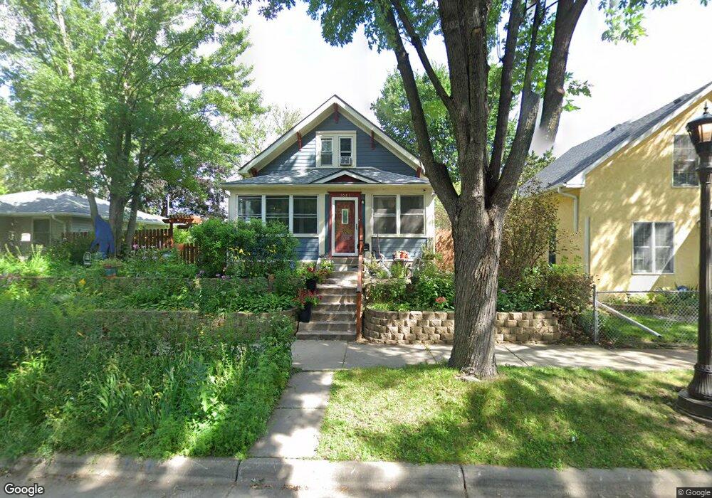
1081 Stinson St Saint Paul, MN 55103
Como Park NeighborhoodEstimated Value: $340,000 - $380,000
3
Beds
2
Baths
1,408
Sq Ft
$256/Sq Ft
Est. Value
About This Home
This home is located at 1081 Stinson St, Saint Paul, MN 55103 and is currently estimated at $359,754, approximately $255 per square foot. 1081 Stinson St is a home located in Ramsey County with nearby schools including Como Park Elementary School, Murray Middle School, and Como Park Senior High School.
Ownership History
Date
Name
Owned For
Owner Type
Purchase Details
Closed on
Aug 31, 2017
Sold by
Dickhausen Sarah J
Bought by
Dickhausen Danielle Lynn
Current Estimated Value
Purchase Details
Closed on
Feb 14, 2003
Sold by
Johnson Jonah and Johnson Robin K
Bought by
Dettaut David A and Dettaut Catherine T
Purchase Details
Closed on
Mar 7, 2002
Sold by
Downs Michael L and Downs Deana M
Bought by
Johnson Jonah and Johnson Robin K
Create a Home Valuation Report for This Property
The Home Valuation Report is an in-depth analysis detailing your home's value as well as a comparison with similar homes in the area
Home Values in the Area
Average Home Value in this Area
Purchase History
| Date | Buyer | Sale Price | Title Company |
|---|---|---|---|
| Dickhausen Danielle Lynn | -- | None Available | |
| Dettaut David A | $164,900 | -- | |
| Johnson Jonah | $61,000 | -- |
Source: Public Records
Tax History Compared to Growth
Tax History
| Year | Tax Paid | Tax Assessment Tax Assessment Total Assessment is a certain percentage of the fair market value that is determined by local assessors to be the total taxable value of land and additions on the property. | Land | Improvement |
|---|---|---|---|---|
| 2025 | $4,740 | $370,000 | $49,100 | $320,900 |
| 2023 | $4,740 | $312,000 | $49,100 | $262,900 |
| 2022 | $4,222 | $299,100 | $49,100 | $250,000 |
| 2021 | $4,238 | $270,200 | $49,100 | $221,100 |
| 2020 | $4,274 | $280,200 | $49,100 | $231,100 |
| 2019 | $4,208 | $264,500 | $49,100 | $215,400 |
| 2018 | $3,906 | $257,700 | $49,100 | $208,600 |
| 2017 | $3,766 | $240,200 | $39,300 | $200,900 |
| 2016 | $3,142 | $0 | $0 | $0 |
| 2015 | $2,684 | $204,800 | $39,300 | $165,500 |
| 2014 | $2,560 | $0 | $0 | $0 |
Source: Public Records
Map
Nearby Homes
- 1056 Lexington Pkwy N
- 1039 Argyle St
- 951 Front Ave
- 1083 Chatsworth St N
- 1094 Argyle St
- 895 Front Ave
- 1125 Argyle St
- 1030 Englewood Ave
- 1084 Ryde St
- 1003 Minnehaha Ave W
- 999 Minnehaha Ave W
- 1282 Hewitt Ave
- 1174 Lexington Pkwy N
- 1294 Hubbard Ave
- 687 Lexington Pkwy N
- 1372 Carling Dr Unit 208
- 1377 Hewitt Ave
- 1215 Lafond Ave
- 1174 Lafond Ave
- 1258 Blair Ave
- 1091 Stinson St
- 1079 Stinson St
- 1095 Stinson St
- 1075 Stinson St
- 1078 Front Ave
- 1069 Stinson St
- 1072 Front Ave
- 1080 Stinson St
- 1092 Stinson St
- 1070 Front Ave
- 1074 Front Ave
- xxxxx Burgess St
- 1074 Stinson St
- 1098 Stinson St
- 1063 Stinson St
- 1062 Front Ave
- 1066 Stinson St
- 1060 Front Ave
- 1064 Stinson St
- 1057 Stinson St