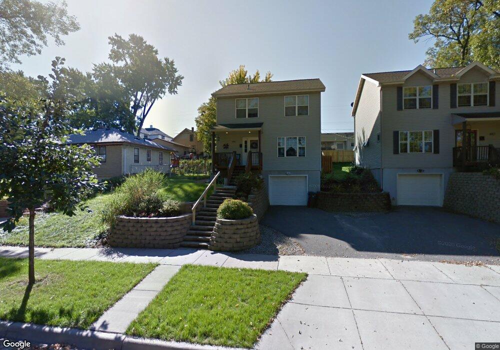
1086 Mclean Ave Saint Paul, MN 55106
Dayton's Bluff NeighborhoodEstimated Value: $289,792 - $329,000
3
Beds
3
Baths
1,404
Sq Ft
$220/Sq Ft
Est. Value
About This Home
This home is located at 1086 Mclean Ave, Saint Paul, MN 55106 and is currently estimated at $309,448, approximately $220 per square foot. 1086 Mclean Ave is a home located in Ramsey County with nearby schools including Dayton's Bluff Achievement Plus Elementary School, Battle Creek Middle School, and Harding Senior High School.
Ownership History
Date
Name
Owned For
Owner Type
Purchase Details
Closed on
May 6, 2022
Sold by
Mack Kaitlin T
Bought by
Rosario Gabriela V and Lozano Mario A
Current Estimated Value
Home Financials for this Owner
Home Financials are based on the most recent Mortgage that was taken out on this home.
Original Mortgage
$319,113
Outstanding Balance
$300,235
Interest Rate
4.87%
Mortgage Type
FHA
Estimated Equity
$9,213
Purchase Details
Closed on
Oct 20, 2020
Sold by
Giles Tyler G and Giles Lani
Bought by
Mack Kaitlin T
Home Financials for this Owner
Home Financials are based on the most recent Mortgage that was taken out on this home.
Original Mortgage
$261,900
Interest Rate
2.8%
Mortgage Type
New Conventional
Purchase Details
Closed on
May 25, 2016
Sold by
Lundequam Brian and Lundequam Samantha A
Bought by
Giles Tyler G and Giles Lani
Home Financials for this Owner
Home Financials are based on the most recent Mortgage that was taken out on this home.
Original Mortgage
$183,350
Interest Rate
3.59%
Mortgage Type
New Conventional
Purchase Details
Closed on
Mar 11, 1998
Sold by
Richie Mark
Bought by
Rockwell Jonathan D
Create a Home Valuation Report for This Property
The Home Valuation Report is an in-depth analysis detailing your home's value as well as a comparison with similar homes in the area
Home Values in the Area
Average Home Value in this Area
Purchase History
| Date | Buyer | Sale Price | Title Company |
|---|---|---|---|
| Rosario Gabriela V | $330,000 | None Listed On Document | |
| Mack Kaitlin T | $270,000 | Watermark Title Agency | |
| Giles Tyler G | $193,000 | Realstar Title | |
| Rockwell Jonathan D | $22,000 | -- |
Source: Public Records
Mortgage History
| Date | Status | Borrower | Loan Amount |
|---|---|---|---|
| Open | Rosario Gabriela V | $319,113 | |
| Previous Owner | Mack Kaitlin T | $261,900 | |
| Previous Owner | Giles Tyler G | $183,350 |
Source: Public Records
Tax History
| Year | Tax Paid | Tax Assessment Tax Assessment Total Assessment is a certain percentage of the fair market value that is determined by local assessors to be the total taxable value of land and additions on the property. | Land | Improvement |
|---|---|---|---|---|
| 2025 | $4,390 | $289,800 | $21,400 | $268,400 |
| 2024 | $4,390 | $286,000 | $21,400 | $264,600 |
| 2023 | $4,390 | $285,700 | $13,700 | $272,000 |
| 2022 | $4,138 | $283,900 | $13,700 | $270,200 |
| 2021 | $2,782 | $243,800 | $13,700 | $230,100 |
| 2020 | $3,020 | $192,300 | $13,700 | $178,600 |
| 2019 | $3,106 | $194,300 | $13,700 | $180,600 |
| 2018 | $3,012 | $196,200 | $13,700 | $182,500 |
| 2017 | $2,448 | $196,200 | $13,700 | $182,500 |
| 2016 | $2,450 | $0 | $0 | $0 |
| 2015 | $2,402 | $156,000 | $12,000 | $144,000 |
| 2014 | $2,394 | $0 | $0 | $0 |
Source: Public Records
Map
Nearby Homes
- 1025 Mclean Ave
- 1173 Mclean Ave
- 1223 Mclean Ave
- 1020 Wilson Ave
- 884 Mound St
- 1045 Euclid St
- 986 Euclid St
- 455 Griffith St
- 926 Wilson Ave
- 1084 3rd St E
- 1220 Conway St
- 130 Maria Ave
- 1311 Pacific St
- 980 3rd St E
- 1333 Pacific St
- 503 Forest St
- 856 Euclid St
- 543 Gotzian St
- 725 Wilson Ave
- 965 Fremont Ave E
- 1082 Mclean Ave
- 1082 1082 McLean-avenue-
- 1092 Mclean Ave
- 1078 Mclean Ave
- 1098 Mclean Ave
- 1089 Suburban Ave
- 1079 Suburban Ave
- 1093 Suburban Ave
- 1093 1093 Suburban-Avenue-
- 1070 Mclean Ave
- 1075 Suburban Ave
- 1081 1081 McLean-avenue-
- 1097 Suburban Ave
- 1073 Suburban Ave
- 1083 Mclean Ave
- 1089 Mclean Ave
- 1081 Mclean Ave
- 1100 Mclean Ave
- 1079 1079 McLean-avenue-
- 1079 Mclean Ave
Your Personal Tour Guide
Ask me questions while you tour the home.