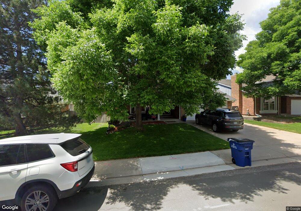
10992 Main Range Trail Littleton, CO 80127
Ken Caryl Ranch NeighborhoodEstimated Value: $766,410 - $877,000
5
Beds
7
Baths
2,517
Sq Ft
$317/Sq Ft
Est. Value
About This Home
This home is located at 10992 Main Range Trail, Littleton, CO 80127 and is currently estimated at $798,853, approximately $317 per square foot. 10992 Main Range Trail is a home located in Jefferson County with nearby schools including Shaffer Elementary School, Falcon Bluffs Middle School, and Chatfield High School.
Ownership History
Date
Name
Owned For
Owner Type
Purchase Details
Closed on
Jul 5, 2023
Sold by
Wingi Revocable Trust
Bought by
Wingi Revocable Trust
Current Estimated Value
Purchase Details
Closed on
Dec 28, 2017
Sold by
Mueller Kurt W and Mueller Gina R
Bought by
Mueller Kurt W
Home Financials for this Owner
Home Financials are based on the most recent Mortgage that was taken out on this home.
Original Mortgage
$50,000
Interest Rate
3.92%
Mortgage Type
Purchase Money Mortgage
Purchase Details
Closed on
Sep 30, 2005
Sold by
Henry Kent D and Henry Patricia A
Bought by
Mueller Kurt W and Mueller Gina R
Home Financials for this Owner
Home Financials are based on the most recent Mortgage that was taken out on this home.
Original Mortgage
$217,200
Interest Rate
5.65%
Mortgage Type
Fannie Mae Freddie Mac
Create a Home Valuation Report for This Property
The Home Valuation Report is an in-depth analysis detailing your home's value as well as a comparison with similar homes in the area
Home Values in the Area
Average Home Value in this Area
Purchase History
| Date | Buyer | Sale Price | Title Company |
|---|---|---|---|
| Wingi Revocable Trust | -- | None Listed On Document | |
| Mueller Kurt W | -- | None Available | |
| Mueller Kurt W | $362,000 | Fahtco |
Source: Public Records
Mortgage History
| Date | Status | Borrower | Loan Amount |
|---|---|---|---|
| Previous Owner | Mueller Kurt W | $50,000 | |
| Previous Owner | Mueller Kurt W | $217,200 |
Source: Public Records
Tax History
| Year | Tax Paid | Tax Assessment Tax Assessment Total Assessment is a certain percentage of the fair market value that is determined by local assessors to be the total taxable value of land and additions on the property. | Land | Improvement |
|---|---|---|---|---|
| 2024 | $4,852 | $45,324 | $10,050 | $35,274 |
| 2023 | $4,852 | $45,324 | $10,050 | $35,274 |
| 2022 | $4,160 | $37,999 | $8,217 | $29,782 |
| 2021 | $4,223 | $39,092 | $8,453 | $30,639 |
| 2020 | $3,739 | $34,724 | $6,400 | $28,324 |
| 2019 | $3,695 | $34,724 | $6,400 | $28,324 |
| 2018 | $3,437 | $31,193 | $7,093 | $24,100 |
| 2017 | $3,196 | $31,193 | $7,093 | $24,100 |
| 2016 | $3,313 | $30,598 | $8,429 | $22,169 |
| 2015 | $2,978 | $30,598 | $8,429 | $22,169 |
| 2014 | $2,978 | $25,916 | $6,685 | $19,231 |
Source: Public Records
Map
Nearby Homes
- 10791 Trailrider Pass
- 8140 S Storm King Peak
- 11446 San Joaquin Ridge
- 7580 S Lost Ranger Peak
- 11369 W Park Range Rd
- 10463 W Turtle Mountain
- 7448 S Quail Cir Unit 2214
- 10866 W Half Moon Pass
- 7433 S Quail Cir Unit 1913
- 8221 S San Juan Range Rd
- 7463 S Quail Cir Unit 312
- 7473 S Quail Cir Unit 521
- 7423 S Quail Cir Unit 1535
- 10550 W Raspberry Mountain
- 11104 W San Juan Range Rd
- 7422 S Quail Cir Unit 1615
- 7776 S Crestone Peak
- 8077 S Vermejo Peak
- 11804 Elk Head Range Rd
- 7831 Sangre de Cristo Rd
- 11002 Main Range Trail
- 10982 Main Range Trail
- 11012 Main Range Trail
- 10972 Main Range Trail
- 7707 Gunsight Pass
- 7713 Gunsight Pass
- 7652 Sunshine Peak
- 7657 Snowmass Mountain
- 10962 Main Range Trail
- 11022 Main Range Trail
- 7723 Gunsight Pass
- 7642 Sunshine Peak
- 7647 Snowmass Mountain
- 11042 Main Range Trail
- 10981 Main Range Trail
- 7653 Sunshine Peak
- 10971 Main Range Trail
- 7632 Sunshine Peak
- 7726 Gold Dust Peak
- 7637 Snowmass Mountain
Your Personal Tour Guide
Ask me questions while you tour the home.