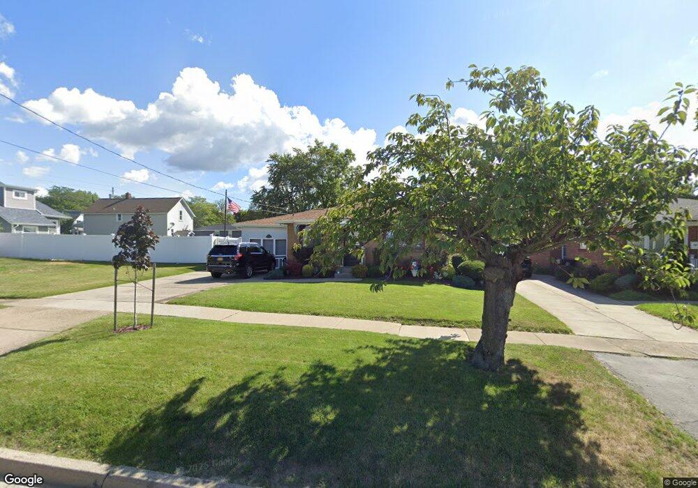
11 Carter St Lancaster, NY 14086
Estimated Value: $230,166 - $264,000
3
Beds
2
Baths
1,107
Sq Ft
$222/Sq Ft
Est. Value
About This Home
This home is located at 11 Carter St, Lancaster, NY 14086 and is currently estimated at $245,292, approximately $221 per square foot. 11 Carter St is a home located in Erie County with nearby schools including William Street School, Lancaster Middle School, and Lancaster High School.
Ownership History
Date
Name
Owned For
Owner Type
Purchase Details
Closed on
Oct 28, 2008
Sold by
Potts Leonard H and Potts Barbara E
Bought by
Cortes Julio and Cortes Michelle
Current Estimated Value
Home Financials for this Owner
Home Financials are based on the most recent Mortgage that was taken out on this home.
Original Mortgage
$85,600
Outstanding Balance
$70,259
Interest Rate
5.94%
Mortgage Type
Purchase Money Mortgage
Estimated Equity
$175,033
Create a Home Valuation Report for This Property
The Home Valuation Report is an in-depth analysis detailing your home's value as well as a comparison with similar homes in the area
Home Values in the Area
Average Home Value in this Area
Purchase History
| Date | Buyer | Sale Price | Title Company |
|---|---|---|---|
| Cortes Julio | $107,000 | Ticor Title Insurance Co | |
| Cortes Julio | $107,000 | Ticor Title Insurance Co | |
| Cortes Julio | $107,000 | Ticor Title Insurance Co |
Source: Public Records
Mortgage History
| Date | Status | Borrower | Loan Amount |
|---|---|---|---|
| Open | Cortes Julio | $85,600 | |
| Closed | Cortes Julio | $7,500 | |
| Closed | Cortes Julio | $85,600 |
Source: Public Records
Tax History
| Year | Tax Paid | Tax Assessment Tax Assessment Total Assessment is a certain percentage of the fair market value that is determined by local assessors to be the total taxable value of land and additions on the property. | Land | Improvement |
|---|---|---|---|---|
| 2024 | $4,440 | $130,000 | $22,800 | $107,200 |
| 2023 | $4,443 | $130,000 | $22,800 | $107,200 |
| 2022 | $4,313 | $130,000 | $22,800 | $107,200 |
| 2021 | $3,276 | $130,000 | $22,800 | $107,200 |
| 2020 | $3,540 | $130,000 | $22,800 | $107,200 |
| 2019 | $3,483 | $99,000 | $16,100 | $82,900 |
| 2018 | $3,657 | $99,000 | $16,100 | $82,900 |
| 2017 | $1,298 | $99,000 | $16,100 | $82,900 |
| 2016 | $3,508 | $99,000 | $16,100 | $82,900 |
| 2015 | -- | $99,000 | $16,100 | $82,900 |
| 2014 | -- | $99,000 | $16,100 | $82,900 |
Source: Public Records
Map
Nearby Homes
- 26 Carter St
- 11 Laverack Ave
- 59 W Drullard Ave
- 17 Harold Place
- 12 Livingston St
- 74 Vandenberg Ave
- 17 Saint Marys St
- 49 School St
- 45 Crane St
- 41 School St
- 402 Central Ave
- 27 Eagle Terrace
- 368 Olmstead Ave
- 86 Garfield St
- 284 Olmstead Ave
- 70 Irwinwood Rd
- 27 Lombardy St
- 99 Grant St
- 22 Washington St
- 169 Warner Rd Unit 167
Your Personal Tour Guide
Ask me questions while you tour the home.