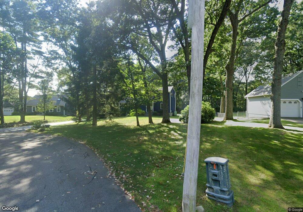
11 Dean Cir Andover, MA 01810
West Andover NeighborhoodEstimated Value: $942,045 - $1,008,000
4
Beds
3
Baths
2,028
Sq Ft
$479/Sq Ft
Est. Value
About This Home
This home is located at 11 Dean Cir, Andover, MA 01810 and is currently estimated at $971,511, approximately $479 per square foot. 11 Dean Cir is a home located in Essex County with nearby schools including Henry C. Sanborn Elementary School, Andover West Middle School, and Andover High School.
Ownership History
Date
Name
Owned For
Owner Type
Purchase Details
Closed on
Mar 13, 2015
Sold by
Vandermaelen Camiel P and Vandermaelen Ann L
Bought by
Vandermaelen Ft and Vandermaelen
Current Estimated Value
Purchase Details
Closed on
Nov 30, 2009
Sold by
Bloom Melvin I and Bloom Louise
Bought by
Vandermaelen Camiel P and Vandermaelen Ann L
Home Financials for this Owner
Home Financials are based on the most recent Mortgage that was taken out on this home.
Original Mortgage
$240,000
Interest Rate
4.92%
Mortgage Type
Purchase Money Mortgage
Create a Home Valuation Report for This Property
The Home Valuation Report is an in-depth analysis detailing your home's value as well as a comparison with similar homes in the area
Home Values in the Area
Average Home Value in this Area
Purchase History
| Date | Buyer | Sale Price | Title Company |
|---|---|---|---|
| Vandermaelen Ft | -- | -- | |
| Vandermaelen Ft | -- | -- | |
| Vandermaelen Camiel P | $440,000 | -- | |
| Vandermaelen Camiel P | $440,000 | -- |
Source: Public Records
Mortgage History
| Date | Status | Borrower | Loan Amount |
|---|---|---|---|
| Previous Owner | Vandermaelen Camiel P | $240,000 | |
| Previous Owner | Vandermaelen Camiel P | $75,000 |
Source: Public Records
Tax History Compared to Growth
Tax History
| Year | Tax Paid | Tax Assessment Tax Assessment Total Assessment is a certain percentage of the fair market value that is determined by local assessors to be the total taxable value of land and additions on the property. | Land | Improvement |
|---|---|---|---|---|
| 2024 | $10,535 | $817,900 | $460,400 | $357,500 |
| 2023 | $10,073 | $737,400 | $414,600 | $322,800 |
| 2022 | $9,454 | $647,500 | $360,600 | $286,900 |
| 2021 | $9,044 | $591,500 | $327,800 | $263,700 |
| 2020 | $8,674 | $577,900 | $319,900 | $258,000 |
| 2019 | $8,621 | $564,600 | $310,500 | $254,100 |
| 2018 | $8,352 | $534,000 | $298,600 | $235,400 |
| 2017 | $8,000 | $527,000 | $292,700 | $234,300 |
| 2016 | $7,832 | $528,500 | $292,700 | $235,800 |
| 2015 | $7,561 | $505,100 | $281,300 | $223,800 |
Source: Public Records
Map
Nearby Homes
- 15 Geneva Rd
- 14 Geneva Rd
- 37 Crenshaw Ln Unit 37
- 25 Clubview Dr Unit 25
- 13 Clubview Dr Unit 13
- 22 Haggetts Pond Rd
- 29 Glenwood Dr
- 21 Clubview Dr Unit 21
- 0
- 96 Beacon St
- 101 Bellevue Rd
- 38 Lincoln Cir E
- 11 Devonshire St
- 5 Marc Ln
- 18 Bryan Ln Unit 18
- 58 Blanchard St
- 750 Brookside Dr Unit G
- 10 Martingale Ln Unit 10
- 42 Stevens St
- 69 Blanchard St