11 Mccarty Ln Alstead, NH 03602
Estimated Value: $275,000 - $386,000
1
Bed
1
Bath
1,344
Sq Ft
$231/Sq Ft
Est. Value
About This Home
This home is located at 11 Mccarty Ln, Alstead, NH 03602 and is currently estimated at $310,769, approximately $231 per square foot. 11 Mccarty Ln is a home located in Cheshire County with nearby schools including Alstead Primary School, Vilas Elementary School, and Fall Mountain Regional High School.
Create a Home Valuation Report for This Property
The Home Valuation Report is an in-depth analysis detailing your home's value as well as a comparison with similar homes in the area
Home Values in the Area
Average Home Value in this Area
Tax History Compared to Growth
Tax History
| Year | Tax Paid | Tax Assessment Tax Assessment Total Assessment is a certain percentage of the fair market value that is determined by local assessors to be the total taxable value of land and additions on the property. | Land | Improvement |
|---|---|---|---|---|
| 2024 | $4,346 | $161,100 | $64,600 | $96,500 |
| 2023 | $3,970 | $156,100 | $64,600 | $91,500 |
| 2022 | $3,846 | $156,100 | $64,600 | $91,500 |
| 2021 | $3,629 | $156,100 | $64,600 | $91,500 |
| 2020 | $3,812 | $156,100 | $64,600 | $91,500 |
| 2019 | $3,618 | $129,900 | $45,600 | $84,300 |
| 2018 | $3,514 | $129,900 | $45,600 | $84,300 |
| 2017 | $3,440 | $129,000 | $45,600 | $83,400 |
| 2016 | $3,471 | $129,000 | $45,600 | $83,400 |
| 2015 | $3,422 | $129,000 | $45,600 | $83,400 |
| 2014 | $3,656 | $153,600 | $52,200 | $101,400 |
| 2013 | $4,116 | $153,600 | $52,200 | $101,400 |
Source: Public Records
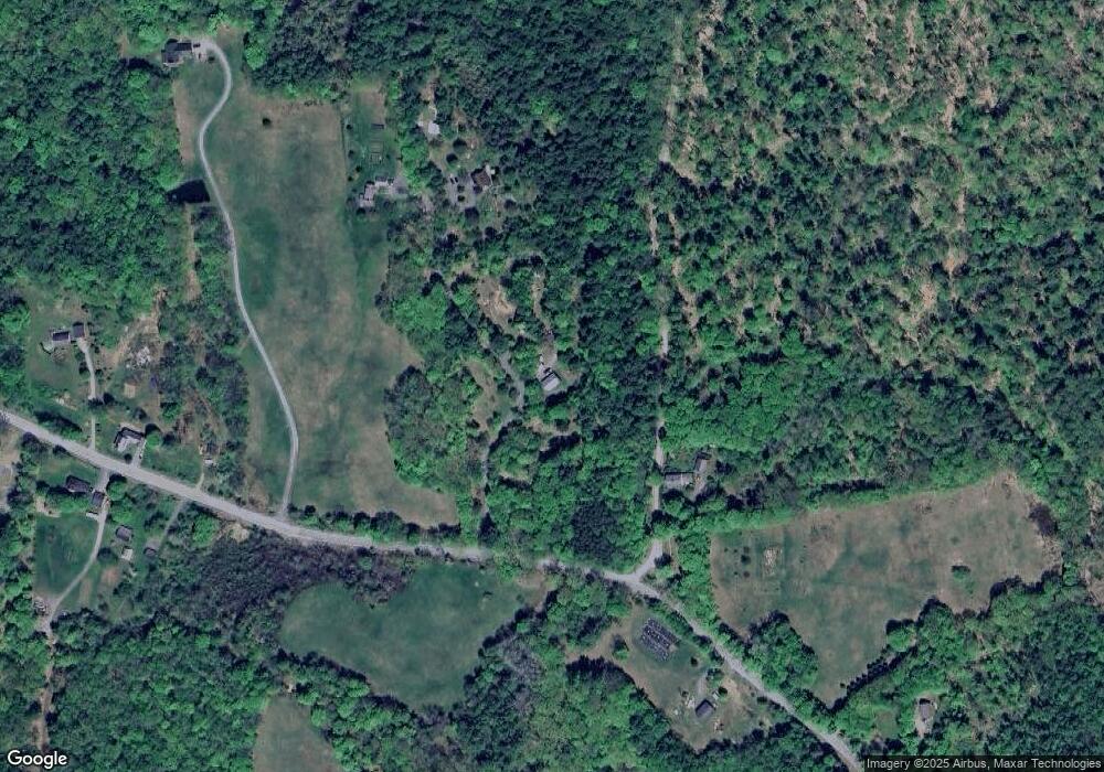
Map
Nearby Homes
- 33 Maclean Rd
- 363 March Hill Rd
- 96 Maclean Rd
- 473 Pratt Rd
- 00 Alstead Center Rd
- 55 Sunset Cir
- 61 North Rd
- 26 Old North Main St
- 00 Cold River Rd Unit 3014.0
- 33 Dearborn Cir
- 24 Westminster St
- 31 Wentworth Rd
- 61 Elm St
- 31 Pleasant St
- 42 Old Keene Rd
- 561 Main St
- 100 River St
- 5362 Us Route 5
- 32 Blueberry Hill Ln
- 27 Shadowland Rd
- 83-A1 Farm
- 14 Pratt Rd
- 38 Rust Farm Ln
- 760 Walpole Valley Rd
- 41 Rust Farm Ln
- 52 Walpole Valley Rd
- 769 Valley Rd
- 778 Valley Rd
- 768 Valley Rd
- 765 Valley Rd
- 63 Walpole Valley Rd
- 785 Valley Rd
- 72 Walpole Valley Rd
- 760 Valley Rd
- 745 Valley Rd
- 75 Walpole Valley Rd
- 742 Valley Rd
- 78 Walpole Valley Rd
- 99 Pratt Rd
- 719 Valley Rd