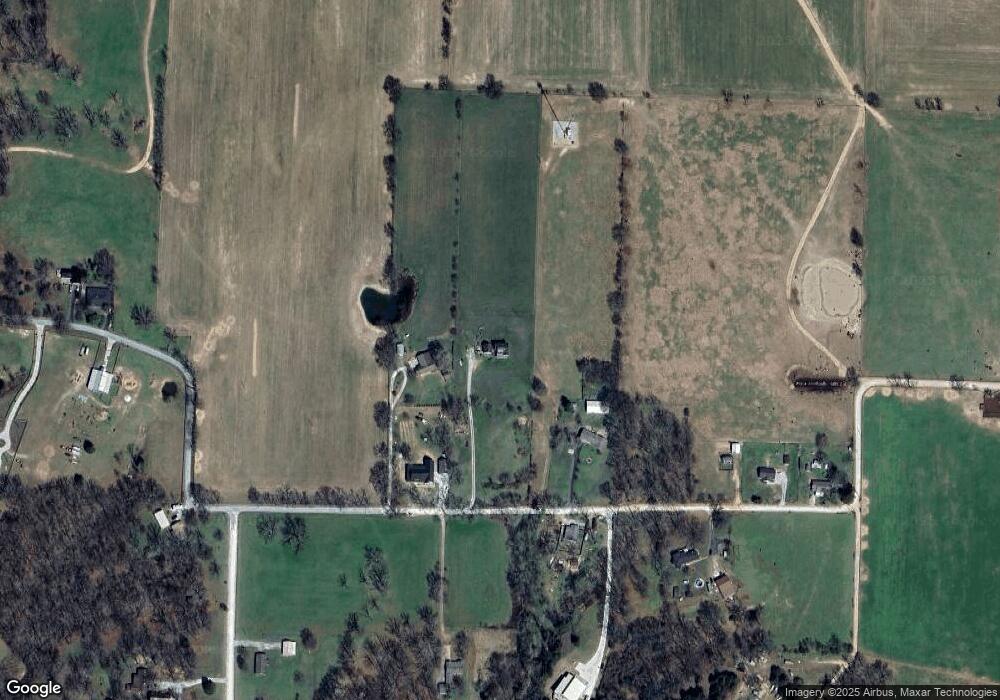
1100 E Harris Rd Pea Ridge, AR 72751
Estimated Value: $494,000 - $671,000
--
Bed
1
Bath
2,636
Sq Ft
$223/Sq Ft
Est. Value
About This Home
This home is located at 1100 E Harris Rd, Pea Ridge, AR 72751 and is currently estimated at $588,019, approximately $223 per square foot. 1100 E Harris Rd is a home with nearby schools including Pea Ridge Intermediate School, Pea Ridge Primary School, and Pea Ridge Middle School.
Ownership History
Date
Name
Owned For
Owner Type
Purchase Details
Closed on
Oct 29, 2015
Sold by
Weaver Norman R
Bought by
Bowman Nicole Louann and Bowman Brandon Lee
Current Estimated Value
Purchase Details
Closed on
Mar 4, 1996
Bought by
Nr Weaver
Purchase Details
Closed on
Feb 24, 1995
Bought by
Weaver
Purchase Details
Closed on
Jan 26, 1990
Bought by
Milne and Milne Jones
Purchase Details
Closed on
Oct 2, 1986
Bought by
Robbins
Create a Home Valuation Report for This Property
The Home Valuation Report is an in-depth analysis detailing your home's value as well as a comparison with similar homes in the area
Home Values in the Area
Average Home Value in this Area
Purchase History
| Date | Buyer | Sale Price | Title Company |
|---|---|---|---|
| Bowman Nicole Louann | $65,000 | Pci Advance Title Llc | |
| Nr Weaver | -- | -- | |
| Weaver | -- | -- | |
| Milne | $19,000 | -- | |
| Robbins | -- | -- |
Source: Public Records
Tax History Compared to Growth
Tax History
| Year | Tax Paid | Tax Assessment Tax Assessment Total Assessment is a certain percentage of the fair market value that is determined by local assessors to be the total taxable value of land and additions on the property. | Land | Improvement |
|---|---|---|---|---|
| 2025 | $3,832 | $125,724 | $47,100 | $78,624 |
| 2024 | $3,657 | $125,724 | $47,100 | $78,624 |
| 2023 | $3,483 | $76,820 | $14,920 | $61,900 |
| 2022 | $3,111 | $76,820 | $14,920 | $61,900 |
| 2021 | $2,950 | $76,820 | $14,920 | $61,900 |
| 2020 | $2,881 | $58,350 | $11,780 | $46,570 |
| 2019 | $2,881 | $58,350 | $11,780 | $46,570 |
| 2018 | $657 | $11,780 | $11,780 | $0 |
| 2017 | $611 | $11,780 | $11,780 | $0 |
| 2016 | $611 | $11,780 | $11,780 | $0 |
| 2015 | $367 | $7,070 | $7,070 | $0 |
| 2014 | $367 | $7,070 | $7,070 | $0 |
Source: Public Records
Map
Nearby Homes
- 738 Cardin Spur
- 1172 Nemett Dr
- 1965 Collins Dr
- 561 Oneida Cir
- 542 Oneida Cir
- 1309 Joyce St
- 1660 Conrad St
- 1272 Pace Ln
- TBD Pace Ln
- 560 Forrest Dr
- Lot 37 Hopkins Ln
- 1596 Winters St
- 5AC Captain Miller Blvd
- 1421 Lee St
- Lot 36 & 37 Hopkins Ln
- Lot 36 Hopkins Ln
- 1805 Bugg St
- 1807 Bugg St
- 1806 Bugg St
- 1417 Lee St
- 1056 E Harris Rd
- 1052 E Harris Rd
- 0 E Harris Rd Unit 739131
- 1240 E Harris Rd
- 1239 E Harris Rd
- 1055 E Harris Rd
- 1339 E Harris Rd
- 1340 E Harris Rd
- 1245 E Harris Rd
- 843 E Harris St
- 1408 Bloxham Rd
- 1364 E Harris Rd
- 1383 Bloxham Rd
- 1386 E Harris Rd
- 752 E Harris St
- 1395 E Harris Rd
- 1475 Bloxham Rd
- 0 E Harris St
- 1650 Bloxham Rd
- 580 E Harris St
