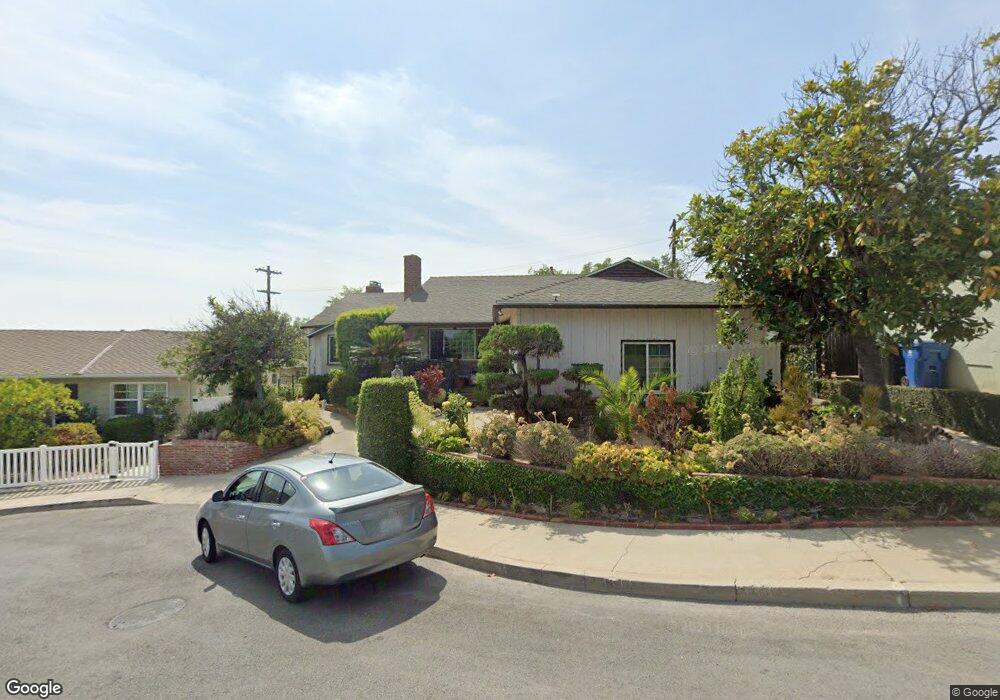
1106 Arbor Dell Rd Los Angeles, CA 90041
Eagle Rock NeighborhoodEstimated Value: $1,450,517 - $1,703,000
3
Beds
2
Baths
1,778
Sq Ft
$860/Sq Ft
Est. Value
About This Home
This home is located at 1106 Arbor Dell Rd, Los Angeles, CA 90041 and is currently estimated at $1,528,879, approximately $859 per square foot. 1106 Arbor Dell Rd is a home located in Los Angeles County with nearby schools including Dahlia Heights Elementary, Eagle Rock High School, and PUC CALS Middle School and Early College High.
Ownership History
Date
Name
Owned For
Owner Type
Purchase Details
Closed on
Sep 27, 2010
Sold by
Ornedo Sheila Marie G
Bought by
Makalu Investments Llc
Current Estimated Value
Purchase Details
Closed on
Apr 12, 2001
Sold by
Garafano Joseph Charles and Garafano Phyllis R
Bought by
Ornedo Ruben S
Home Financials for this Owner
Home Financials are based on the most recent Mortgage that was taken out on this home.
Original Mortgage
$275,000
Interest Rate
6.92%
Create a Home Valuation Report for This Property
The Home Valuation Report is an in-depth analysis detailing your home's value as well as a comparison with similar homes in the area
Home Values in the Area
Average Home Value in this Area
Purchase History
| Date | Buyer | Sale Price | Title Company |
|---|---|---|---|
| Makalu Investments Llc | -- | None Available | |
| Ornedo Ruben S | $364,000 | Chicago Title Co |
Source: Public Records
Mortgage History
| Date | Status | Borrower | Loan Amount |
|---|---|---|---|
| Previous Owner | Ornedo Ruben S | $275,000 |
Source: Public Records
Tax History Compared to Growth
Tax History
| Year | Tax Paid | Tax Assessment Tax Assessment Total Assessment is a certain percentage of the fair market value that is determined by local assessors to be the total taxable value of land and additions on the property. | Land | Improvement |
|---|---|---|---|---|
| 2025 | $7,442 | $607,266 | $402,282 | $204,984 |
| 2024 | $7,442 | $595,360 | $394,395 | $200,965 |
| 2023 | $7,301 | $583,687 | $386,662 | $197,025 |
| 2022 | $6,963 | $572,243 | $379,081 | $193,162 |
| 2021 | $6,873 | $561,024 | $371,649 | $189,375 |
| 2019 | $6,669 | $544,386 | $360,627 | $183,759 |
| 2018 | $6,573 | $533,712 | $353,556 | $180,156 |
| 2016 | $6,273 | $512,989 | $339,828 | $173,161 |
| 2015 | $6,182 | $505,284 | $334,724 | $170,560 |
| 2014 | $6,208 | $495,387 | $328,168 | $167,219 |
Source: Public Records
Map
Nearby Homes
- 1300 Blue Hill Rd
- 0 Maemurray Dr
- 5219 Lunsford Dr
- 5130 Loleta Ave
- 1515 Colorado Blvd
- 1440 Holbrook St
- 1325 Linda Rosa Ave
- 1691 Hill Dr
- 5031 Townsend Ave
- 1200 Saginaw St
- 4879 Hartwick St
- 5150 Argus Dr
- 4984 Vincent Ave
- 4890 Floristan Ave
- 4989 Vincent Ave
- 1480 Glengarry Rd
- 4841 Minden Place
- 4764 Wiota St
- 972 Rockdale Ave
- 410 Coutin Ln
- 1112 Arbor Dell Rd
- 1100 Arbor Dell Rd
- 5422 Wameda Ave
- 1118 Arbor Dell Rd
- 5428 Wameda Ave
- 5414 Wameda Ave
- 1101 Arbor Dell Rd
- 1111 Arbor Dell Rd
- 1115 Arbor Dell Rd
- 1375 Hill Dr
- 1124 Arbor Dell Rd
- 5436 Wameda Ave
- 1385 Hill Dr
- 1385 Hill Dr
- 1371 Hill Dr
- 1119 Arbor Dell Rd
- 1391 Hill Dr
- 1130 Arbor Dell Rd
- 1125 Arbor Dell Rd
- 5444 Wameda Ave