114 Ausable State Rd Bay City, MI 48706
Estimated Value: $100,000 - $113,887
2
Beds
2
Baths
984
Sq Ft
$111/Sq Ft
Est. Value
About This Home
This home is located at 114 Ausable State Rd, Bay City, MI 48706 and is currently estimated at $109,472, approximately $111 per square foot. 114 Ausable State Rd is a home located in Bay County with nearby schools including Linsday Elementary School, Handy Middle School, and Bay City Central High School.
Ownership History
Date
Name
Owned For
Owner Type
Purchase Details
Closed on
Jul 25, 2005
Sold by
Socia Richard J and Socia Debbi
Bought by
Kolka Wendy J
Current Estimated Value
Home Financials for this Owner
Home Financials are based on the most recent Mortgage that was taken out on this home.
Original Mortgage
$40,000
Outstanding Balance
$22,654
Interest Rate
7%
Mortgage Type
Fannie Mae Freddie Mac
Estimated Equity
$86,818
Purchase Details
Closed on
Nov 3, 1998
Sold by
Socia Richard J
Bought by
Kolka Wendy J
Create a Home Valuation Report for This Property
The Home Valuation Report is an in-depth analysis detailing your home's value as well as a comparison with similar homes in the area
Home Values in the Area
Average Home Value in this Area
Purchase History
| Date | Buyer | Sale Price | Title Company |
|---|---|---|---|
| Kolka Wendy J | $33,000 | -- | |
| Kolka Wendy J | $33,000 | -- |
Source: Public Records
Mortgage History
| Date | Status | Borrower | Loan Amount |
|---|---|---|---|
| Open | Kolka Wendy J | $40,000 |
Source: Public Records
Tax History Compared to Growth
Tax History
| Year | Tax Paid | Tax Assessment Tax Assessment Total Assessment is a certain percentage of the fair market value that is determined by local assessors to be the total taxable value of land and additions on the property. | Land | Improvement |
|---|---|---|---|---|
| 2025 | $1,412 | $48,150 | $0 | $0 |
| 2024 | $1,162 | $42,450 | $0 | $0 |
| 2023 | $1,106 | $34,500 | $0 | $0 |
| 2022 | $1,270 | $31,400 | $0 | $0 |
| 2021 | $1,195 | $29,450 | $29,450 | $0 |
| 2020 | $1,271 | $26,300 | $26,300 | $0 |
| 2019 | $1,243 | $25,650 | $0 | $0 |
| 2018 | $1,231 | $25,100 | $0 | $0 |
| 2017 | $1,204 | $24,550 | $0 | $0 |
| 2016 | $1,200 | $24,750 | $0 | $24,750 |
| 2015 | $1,207 | $24,300 | $0 | $24,300 |
| 2014 | $1,207 | $24,750 | $0 | $24,750 |
Source: Public Records
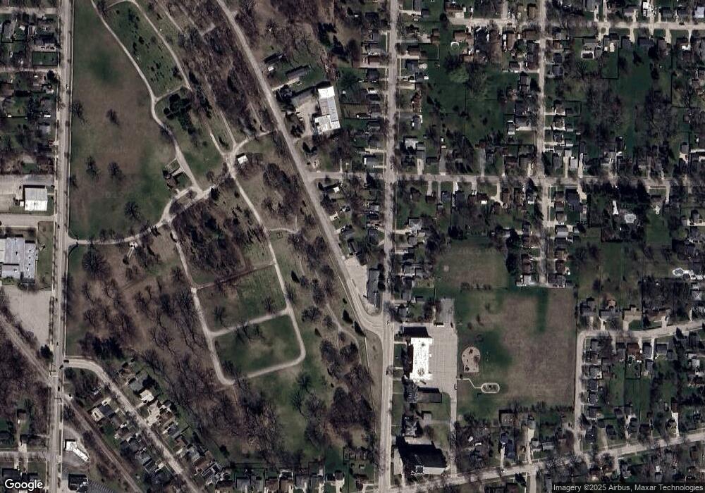
Map
Nearby Homes
- 1106 State St
- 117 E Smith St
- 203 Elm St
- 204 Elm St
- 307 Mosher St
- 1707 N Henry St
- 305 Marston St
- 1012 Litchfield St
- 304 Curtis St
- 801 Marchand St
- 900 E Fulton St
- 403 State St
- 25 State Park Dr
- 902 Litchfield St
- 1110 Anchor Way
- 507 N Bangor St
- 1103 Bradfield St
- 1005 N Wenona Ave
- 707 N Sophia St
- 17 Cove Dr
- 116 Ausable State Rd
- 1211 State St
- 1215 State St
- 102 Ausable State Rd
- 118 Ausable State Rd
- 1217 State St
- 1212 State St
- 1219 State St
- 120 Ausable State Rd
- 1210 State St
- 1208 State St
- 1218 State St
- 1206 State St
- 1204 State St
- 1220 State St
- 1200 State St
- 1301 State St
- 106 W Murphy St
- 104 E Murphy St
- 1300 State St