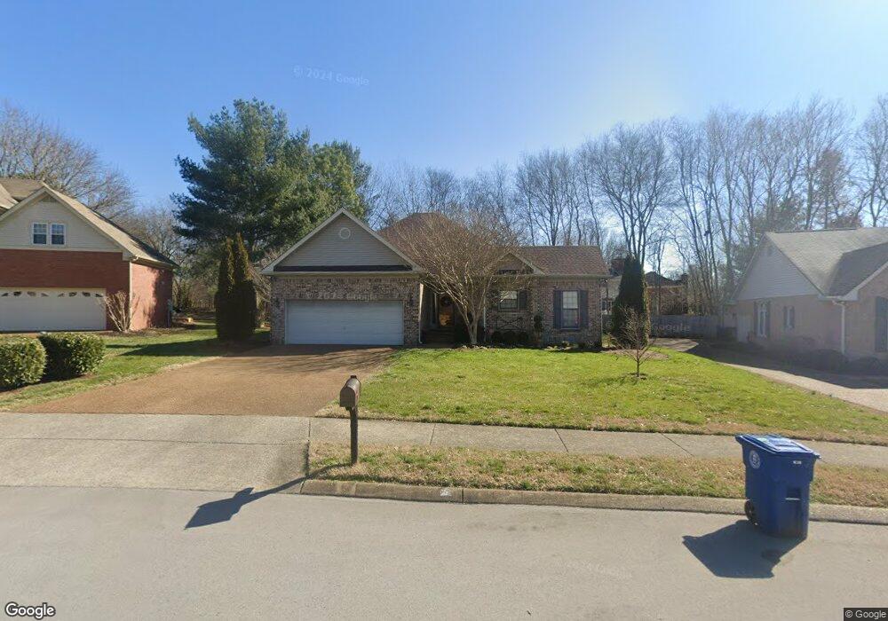
1171 Glenbrook Dr Franklin, TN 37064
Central Franklin NeighborhoodEstimated Value: $522,253 - $676,000
Studio
3
Baths
1,748
Sq Ft
$360/Sq Ft
Est. Value
About This Home
This home is located at 1171 Glenbrook Dr, Franklin, TN 37064 and is currently estimated at $628,563, approximately $359 per square foot. 1171 Glenbrook Dr is a home located in Williamson County with nearby schools including Liberty Elementary School, Freedom Intermediate School, and Freedom Middle School.
Ownership History
Date
Name
Owned For
Owner Type
Purchase Details
Closed on
Aug 7, 2003
Sold by
Hageman Robert and Hageman Suzanne
Bought by
Cummins Richard N and Cummins Kelly L
Current Estimated Value
Home Financials for this Owner
Home Financials are based on the most recent Mortgage that was taken out on this home.
Original Mortgage
$163,200
Outstanding Balance
$68,652
Interest Rate
5.12%
Mortgage Type
New Conventional
Estimated Equity
$559,911
Create a Home Valuation Report for This Property
The Home Valuation Report is an in-depth analysis detailing your home's value as well as a comparison with similar homes in the area
Home Values in the Area
Average Home Value in this Area
Purchase History
| Date | Buyer | Sale Price | Title Company |
|---|---|---|---|
| Cummins Richard N | $204,000 | Southeast Title Of Tn Inc |
Source: Public Records
Mortgage History
| Date | Status | Borrower | Loan Amount |
|---|---|---|---|
| Open | Cummins Richard N | $163,200 | |
| Closed | Cummins Richard N | $40,800 |
Source: Public Records
Tax History Compared to Growth
Tax History
| Year | Tax Paid | Tax Assessment Tax Assessment Total Assessment is a certain percentage of the fair market value that is determined by local assessors to be the total taxable value of land and additions on the property. | Land | Improvement |
|---|---|---|---|---|
| 2025 | $2,441 | $155,800 | $60,000 | $95,800 |
| 2024 | $2,441 | $86,225 | $30,000 | $56,225 |
| 2023 | $2,346 | $86,225 | $30,000 | $56,225 |
| 2022 | $2,346 | $86,225 | $30,000 | $56,225 |
| 2021 | $2,346 | $86,225 | $30,000 | $56,225 |
| 2020 | $2,312 | $71,675 | $21,250 | $50,425 |
| 2019 | $2,312 | $71,675 | $21,250 | $50,425 |
| 2018 | $2,262 | $71,675 | $21,250 | $50,425 |
| 2017 | $2,226 | $71,675 | $21,250 | $50,425 |
Source: Public Records
Map
Nearby Homes
- 1404 Buckingham Cir
- 433 Dragonfly Ct
- 121 Pebble View Dr
- 1 Pinewood Rd
- 100 Churchill Place
- 718 Murfreesboro Rd
- 1011 Murfreesboro Rd Unit K4
- 1011 Murfreesboro Rd Unit B2
- 1011 Murfreesboro Rd Unit J2
- 521 Maplegrove Dr
- 217 Maple Dr
- 224 Hickory Dr
- 129 Brevet Dr
- 405 Luna Ct
- 135 Grenadier Dr
- 20 Daniels Dr
- 320 Liberty Pike Unit 212
- 320 Liberty Pike Unit 214
- 423 Knob Ct
- 624 Burghley Ln
- 1167 Glenbrook Dr
- 1175 Glenbrook Dr
- 803 Thatcher Way
- 804 Thatcher Way
- 1179 Glenbrook Dr
- 1163 Glenbrook Dr
- 1168 Glenbrook Dr
- 807 Thatcher Way
- 1174 Glenbrook Dr
- 808 Thatcher Way
- 1164 Glenbrook Dr
- 508 Castlebury Ct
- 1159 Glenbrook Dr
- 504 Castlebury Ct
- 1183 Glenbrook Dr
- 636 Bonnie Place
- 1182 Glenbrook Dr
- 811 Thatcher Way
- 632 Bonnie Place
- 1160 Glenbrook Dr