12 E Shore Rd Ellington, CT 06029
Crystal Lake NeighborhoodEstimated Value: $610,000 - $994,000
2
Beds
4
Baths
2,243
Sq Ft
$371/Sq Ft
Est. Value
About This Home
This home is located at 12 E Shore Rd, Ellington, CT 06029 and is currently estimated at $832,199, approximately $371 per square foot. 12 E Shore Rd is a home located in Tolland County with nearby schools including Ellington High School.
Ownership History
Date
Name
Owned For
Owner Type
Purchase Details
Closed on
Nov 4, 2021
Sold by
Pinard Cathy W
Bought by
Cathy W Pinard Lt and Pinard
Current Estimated Value
Purchase Details
Closed on
Jun 23, 2000
Sold by
Lenares Marcia
Bought by
Finard Douglas and Finard Cathy
Home Financials for this Owner
Home Financials are based on the most recent Mortgage that was taken out on this home.
Original Mortgage
$70,000
Interest Rate
8.11%
Mortgage Type
Purchase Money Mortgage
Create a Home Valuation Report for This Property
The Home Valuation Report is an in-depth analysis detailing your home's value as well as a comparison with similar homes in the area
Home Values in the Area
Average Home Value in this Area
Purchase History
| Date | Buyer | Sale Price | Title Company |
|---|---|---|---|
| Cathy W Pinard Lt | -- | None Available | |
| Cathy W Pinard Lt | -- | None Available | |
| Finard Douglas | $125,000 | -- | |
| Finard Douglas | $125,000 | -- |
Source: Public Records
Mortgage History
| Date | Status | Borrower | Loan Amount |
|---|---|---|---|
| Previous Owner | Finard Douglas | $70,000 |
Source: Public Records
Tax History
| Year | Tax Paid | Tax Assessment Tax Assessment Total Assessment is a certain percentage of the fair market value that is determined by local assessors to be the total taxable value of land and additions on the property. | Land | Improvement |
|---|---|---|---|---|
| 2025 | $16,573 | $446,710 | $143,320 | $303,390 |
| 2024 | $16,082 | $446,710 | $143,320 | $303,390 |
| 2023 | $5,228 | $152,420 | $143,320 | $9,100 |
| 2022 | $5,675 | $174,620 | $143,320 | $31,300 |
| 2021 | $5,518 | $174,620 | $143,320 | $31,300 |
| 2020 | $6,406 | $196,500 | $145,100 | $51,400 |
| 2019 | $6,366 | $195,290 | $145,100 | $50,190 |
| 2016 | $5,956 | $195,290 | $145,100 | $50,190 |
| 2015 | $5,956 | $195,290 | $145,100 | $50,190 |
| 2014 | $5,605 | $195,290 | $145,100 | $50,190 |
Source: Public Records
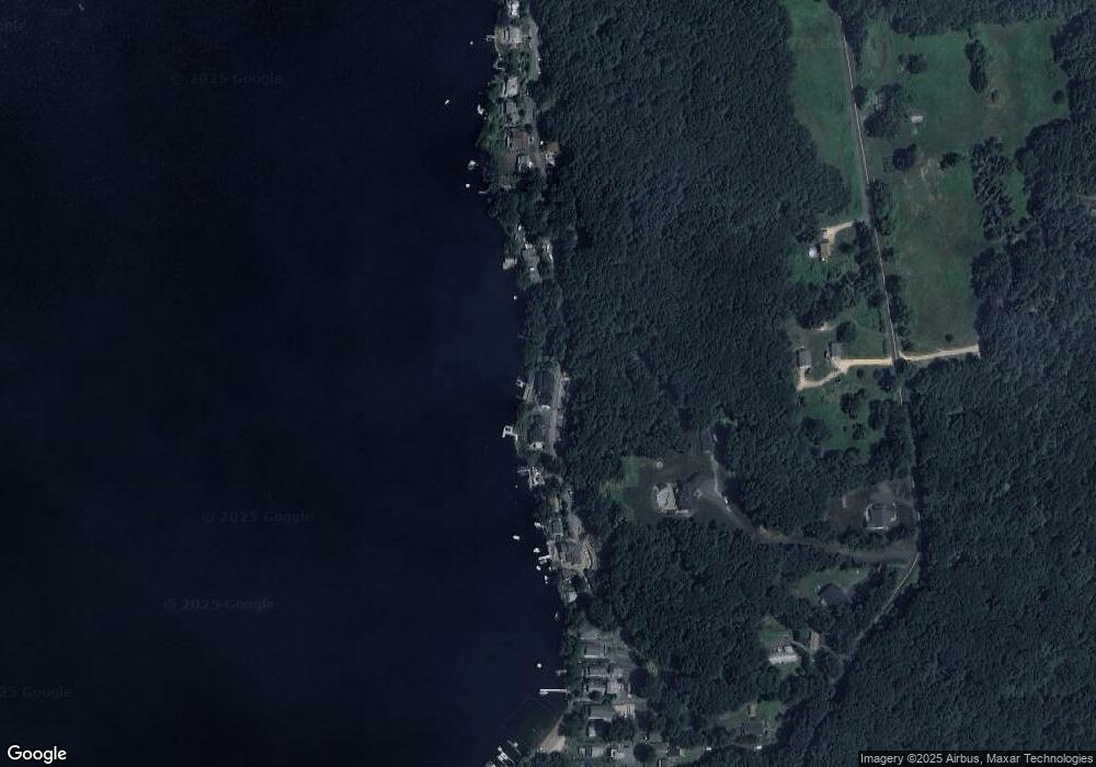
Map
Nearby Homes
- 50 Minor Hill Rd
- 26 Green St
- 127 Sandy Beach Rd
- 267 Sandy Beach Rd
- 70 South Rd
- 116 Conklin Rd
- 50 Buff Cap Rd
- 42 Ladd Rd
- 51 Sandy Beach Rd
- 20 Old Birch Rd
- 80 Boyer Rd
- 22 Stafford Rd
- 29 Newell Hill Rd
- 15 Usher Ridge
- 68 Usher Ridge
- 36 Usher Ridge
- 110 Neff Hill Rd
- 105 Neff Hill Rd
- 137 Neff Hill Rd
- 77 Neff Hill Rd
Your Personal Tour Guide
Ask me questions while you tour the home.