12 Portside Dr Mashpee, MA 02649
Estimated Value: $558,000 - $590,000
2
Beds
3
Baths
1,685
Sq Ft
$337/Sq Ft
Est. Value
About This Home
This home is located at 12 Portside Dr, Mashpee, MA 02649 and is currently estimated at $568,677, approximately $337 per square foot. 12 Portside Dr is a home located in Barnstable County with nearby schools including Kenneth C. Coombs School, Quashnet School, and Mashpee Middle School.
Ownership History
Date
Name
Owned For
Owner Type
Purchase Details
Closed on
Apr 29, 2025
Sold by
Pearl James J and Pearl Annette S
Bought by
Pearl 2025 Nt and Pearl
Current Estimated Value
Purchase Details
Closed on
Sep 18, 2008
Sold by
Smith Betsy J
Bought by
Smith Betsy J and Buren Muriel P
Purchase Details
Closed on
Jan 18, 2008
Sold by
New Boston Fund 4Th In and New Boston S Breeze Lp
Bought by
Smith Betsy J
Purchase Details
Closed on
Nov 7, 2007
Sold by
New Boston Fund 4 Inc and New Boston S Breeze Lt
Bought by
Pearl Annette S and Pearl James J
Create a Home Valuation Report for This Property
The Home Valuation Report is an in-depth analysis detailing your home's value as well as a comparison with similar homes in the area
Purchase History
| Date | Buyer | Sale Price | Title Company |
|---|---|---|---|
| Pearl 2025 Nt | -- | None Available | |
| Smith Betsy J | $275,520 | -- | |
| Smith Betsy J | $344,400 | -- | |
| Pearl Annette S | $369,900 | -- | |
| Pearl Annette S | $369,900 | -- | |
| Pearl Annette S | $369,900 | -- |
Source: Public Records
Tax History
| Year | Tax Paid | Tax Assessment Tax Assessment Total Assessment is a certain percentage of the fair market value that is determined by local assessors to be the total taxable value of land and additions on the property. | Land | Improvement |
|---|---|---|---|---|
| 2025 | $3,383 | $511,000 | $0 | $511,000 |
| 2024 | $3,229 | $502,200 | $0 | $502,200 |
| 2023 | $3,123 | $445,500 | $0 | $445,500 |
| 2022 | $3,115 | $381,300 | $0 | $381,300 |
| 2021 | $3,266 | $360,100 | $0 | $360,100 |
| 2020 | $3,196 | $351,600 | $0 | $351,600 |
| 2019 | $3,392 | $374,800 | $0 | $374,800 |
| 2018 | $3,250 | $364,400 | $0 | $364,400 |
| 2017 | $3,253 | $354,000 | $0 | $354,000 |
| 2016 | $3,180 | $344,200 | $0 | $344,200 |
| 2015 | $2,784 | $305,600 | $0 | $305,600 |
| 2014 | $2,656 | $282,900 | $0 | $282,900 |
Source: Public Records
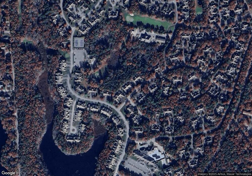
Map
Nearby Homes
- 1 Upland Cir
- 1 Upland Cir Unit 1
- 153 Leisure Green Dr
- 153 Leisure Green Dr Unit 749
- 10 Kettle Ln
- 5 Kettle Ln Unit 38
- 1 Masters Ct
- 50 Pine Hill Blvd Unit 46
- 50 Pine Hill Blvd
- 15 Pebble Beach Ave Unit 2005-103
- 15 Pebble Beach Ave
- 6 Masters Ct
- 18 Windward St Unit 18
- 18 Executive Dr Unit 18
- 23 Sea Spray Ave Unit 563
- 23 Sea Spray Ave
- 160 Algonquin Ave
- 4 N Ridge Rd
- 4 N Ridge Rd Unit 431
- 80 Pine Hill Blvd Unit 80
- 10 Portside Dr
- 14 Portside Dr
- 16 Portside Dr
- 16 Portside Dr Unit 123
- 22 Portside Dr Unit 149
- 18 Portside Dr
- 20 Portside Dr
- 22 Portside Dr
- 24 Portside Dr
- 18 Portside Dr Unit 18
- 22 Portside Dr Unit 234
- 18 Portside Dr Unit 151
- 24 Portside Dr Unit 148
- 22 Portside Dr Unit 22
- 4 Portside Dr Unit 158
- 2 Portside Dr
- 4 Portside Dr
- 6 Portside Dr
- 8 Portside Dr
- 4 Portside Dr Unit 4
Your Personal Tour Guide
Ask me questions while you tour the home.