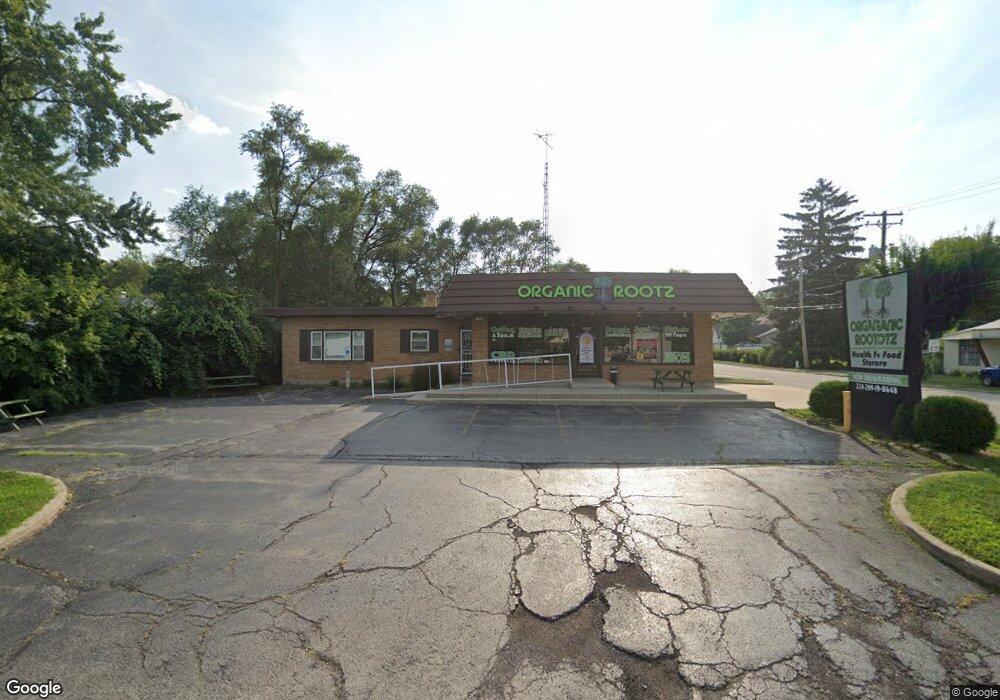
1202 S Main St Algonquin, IL 60102
Traube Fox River View NeighborhoodEstimated Value: $198,788
Studio
--
Bath
--
Sq Ft
10,411
Sq Ft Lot Lot
About This Home
This home is located at 1202 S Main St, Algonquin, IL 60102 and is currently estimated at $198,788. 1202 S Main St is a home located in McHenry County with nearby schools including Westfield Community School, Kenneth E Neubert Elementary School, and Harry D Jacobs High School.
Ownership History
Date
Name
Owned For
Owner Type
Purchase Details
Closed on
May 12, 2015
Sold by
Ybanc Inc
Bought by
1202 Main Llc
Current Estimated Value
Purchase Details
Closed on
Apr 16, 2015
Sold by
County Of Mchenry
Bought by
Ybanc Inc
Purchase Details
Closed on
Aug 16, 2012
Sold by
1202 Main Llc
Bought by
Uma Main Llc
Purchase Details
Closed on
Aug 17, 2001
Sold by
Tilton Mark and Tilton Lisa
Bought by
Ohm Shiva Food Inc
Home Financials for this Owner
Home Financials are based on the most recent Mortgage that was taken out on this home.
Original Mortgage
$897,600
Interest Rate
8.5%
Mortgage Type
Commercial
Purchase Details
Closed on
Aug 16, 2001
Sold by
Bouzios Bertha S and Bouzios George J
Bought by
Tilton Mark and Tilton Lisa
Home Financials for this Owner
Home Financials are based on the most recent Mortgage that was taken out on this home.
Original Mortgage
$897,600
Interest Rate
8.5%
Mortgage Type
Commercial
Create a Home Valuation Report for This Property
The Home Valuation Report is an in-depth analysis detailing your home's value as well as a comparison with similar homes in the area
Home Values in the Area
Average Home Value in this Area
Purchase History
We collect this data history from publicly available records. To have your information removed, we recommend requesting removal directly through your county’s website.
| Date | Buyer | Sale Price | Title Company |
|---|---|---|---|
| 1202 Main Llc | $101,000 | Stewart Title | |
| Ybanc Inc | -- | None Available | |
| Uma Main Llc | -- | Attorney | |
| Ohm Shiva Food Inc | $325,000 | First American | |
| Tilton Mark | $300,000 | First American |
Source: Public Records
Mortgage History
We collect this data history from publicly available records. To have your information removed, we recommend requesting removal directly through your county’s website.
| Date | Status | Borrower | Loan Amount |
|---|---|---|---|
| Previous Owner | Ohm Shiva Food Inc | $897,600 |
Source: Public Records
Tax History
| Year | Tax Paid | Tax Assessment Tax Assessment Total Assessment is a certain percentage of the fair market value that is determined by local assessors to be the total taxable value of land and additions on the property. | Land | Improvement |
|---|---|---|---|---|
| 2024 | $7,681 | $98,188 | $15,300 | $82,888 |
| 2023 | $5,848 | $69,862 | $31,830 | $38,032 |
| 2022 | $5,407 | $63,052 | $28,727 | $34,325 |
| 2021 | $5,212 | $58,741 | $26,763 | $31,978 |
| 2020 | $5,088 | $56,662 | $25,816 | $30,846 |
| 2019 | $4,980 | $54,232 | $24,709 | $29,523 |
| 2018 | $4,065 | $42,644 | $22,826 | $19,818 |
| 2017 | $4,001 | $40,174 | $21,504 | $18,670 |
| 2016 | $3,962 | $37,680 | $20,169 | $17,511 |
| 2013 | -- | $88,137 | $18,815 | $69,322 |
Source: Public Records
Map
Nearby Homes
- 209 Beach Dr
- Lot #3-5 Hayes Rd
- 539 Lincoln St
- 814 Scott St
- 660 Juniper Cir
- 0 Natoma Trail
- 1418 Winaki Trail
- 525 Skyline Dr
- 635 Oakview Dr Unit 6
- 0 River Dr N Unit MRD12473279
- 1210 Merrill Ave
- SWC Talaga and Algonquin Rd
- 650 Butterfield Dr
- 600 E Algonquin Rd
- 1335 Gaslight Dr
- 62 Alice St
- 1045 Helen Dr
- 26 Washtenaw St
- 1188 E Algonquin Rd
- 14 Hampton Ct
- 1134 S Main St
- 1130 S Main St
- 220 Beach Dr
- 1110 S Main St
- 1212 S Main St
- 260 Beach Dr
- 1215 Merrill Ave
- 280 Beach Dr
- 1201 S Main St Unit 9-17
- 1201 S Main St Unit 31
- 1221 Merrill Ave
- 217 Edgewood Dr
- 1224 S Main St
- 1209 S Main St
- 104 Beach Dr
- 1113 S Main St
- 308 Beach Dr
- 305 Beach Dr
- 1226 S Main St Unit 206
- 1226 S Main St Unit 204
Your Personal Tour Guide
Ask me questions while you tour the home.