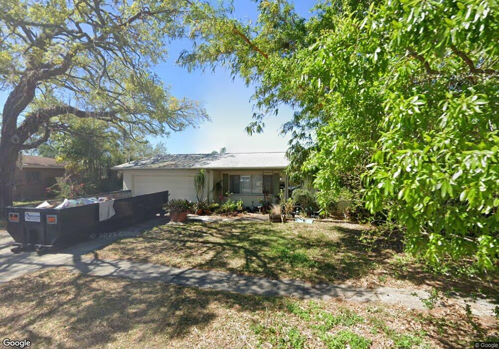
1206 Lorie Cir Brandon, FL 33510
Estimated Value: $326,523 - $348,000
3
Beds
2
Baths
1,296
Sq Ft
$259/Sq Ft
Est. Value
About This Home
This home is located at 1206 Lorie Cir, Brandon, FL 33510 and is currently estimated at $336,131, approximately $259 per square foot. 1206 Lorie Cir is a home located in Hillsborough County with nearby schools including Seffner Elementary School, Mann Middle School, and Brandon High School.
Ownership History
Date
Name
Owned For
Owner Type
Purchase Details
Closed on
Jul 10, 2025
Sold by
Mendenall Richelle K
Bought by
Mendenall Richelle K and Mendenall Kathryn J
Current Estimated Value
Purchase Details
Closed on
Mar 2, 2000
Sold by
Dehart Ronald G and Dehart D
Bought by
Mendenall Richelle K
Home Financials for this Owner
Home Financials are based on the most recent Mortgage that was taken out on this home.
Original Mortgage
$73,600
Interest Rate
8.29%
Mortgage Type
New Conventional
Create a Home Valuation Report for This Property
The Home Valuation Report is an in-depth analysis detailing your home's value as well as a comparison with similar homes in the area
Home Values in the Area
Average Home Value in this Area
Purchase History
| Date | Buyer | Sale Price | Title Company |
|---|---|---|---|
| Mendenall Richelle K | -- | None Listed On Document | |
| Mendenall Richelle K | $92,000 | -- |
Source: Public Records
Mortgage History
| Date | Status | Borrower | Loan Amount |
|---|---|---|---|
| Previous Owner | Mendenall Richelle K | $15,000 | |
| Previous Owner | Mendenall Richelle K | $92,800 | |
| Previous Owner | Mendenall Richelle K | $73,600 |
Source: Public Records
Tax History Compared to Growth
Tax History
| Year | Tax Paid | Tax Assessment Tax Assessment Total Assessment is a certain percentage of the fair market value that is determined by local assessors to be the total taxable value of land and additions on the property. | Land | Improvement |
|---|---|---|---|---|
| 2024 | $1,689 | $107,084 | -- | -- |
| 2023 | $1,597 | $103,965 | $0 | $0 |
| 2022 | $1,463 | $100,937 | $0 | $0 |
| 2021 | $1,435 | $97,997 | $0 | $0 |
| 2020 | $1,356 | $96,644 | $0 | $0 |
| 2019 | $1,274 | $94,471 | $0 | $0 |
| 2018 | $1,223 | $92,710 | $0 | $0 |
| 2017 | $1,195 | $124,959 | $0 | $0 |
| 2016 | $1,169 | $88,935 | $0 | $0 |
| 2015 | $1,180 | $88,317 | $0 | $0 |
| 2014 | $1,069 | $83,210 | $0 | $0 |
| 2013 | -- | $81,980 | $0 | $0 |
Source: Public Records
Map
Nearby Homes
- 147 Melanie Ln
- 310 Terrace Dr
- 107 Valley Cir
- 1305 Willow Valley Dr
- 925 Skyview Dr
- 228 Taylor Bay Ln
- 3104 Apricot St
- 1109 W Camellia Dr
- 408 Blueberry Ln
- 912 N Parsons Ave Unit A
- 1306 Cottage Place
- 101 Sheryl Lynn Dr
- 422 Mahogany Dr
- 201 Lentz Rd
- 1703 N Taylor Rd
- 608 Chilt Dr
- 631 Stillview Cir
- 504 Hedge Row Rd
- 2905 Forestwood Dr
- 701 June Lake Ln
- 1208 Lorie Cir
- 1209 N Parsons Ave
- 1211 N Parsons Ave
- 1207 N Parsons Ave
- 1205 Lorie Cir
- 1203 Lorie Cir
- 1213 N Parsons Ave
- 1213 N Parsons Ave Unit 1
- 1213 N Parsons Ave Unit A
- 1205 N Parsons Ave
- 1209 Lorie Cir
- 1201 Lorie Cir
- 1229 Lorie Cir
- 1227 Lorie Cir
- 1231 Lorie Cir
- 1211 Lorie Cir
- 1225 Lorie Cir
- 1212 N Parsons Ave
- 1233 Lorie Cir
- 103 W Windhorst Rd