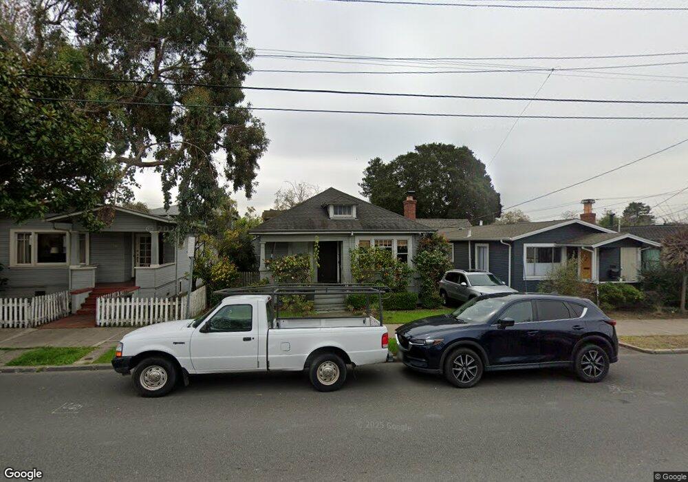
1210 Cedar St Berkeley, CA 94702
West Berkeley NeighborhoodEstimated Value: $1,035,000 - $1,240,000
3
Beds
2
Baths
1,058
Sq Ft
$1,081/Sq Ft
Est. Value
About This Home
This home is located at 1210 Cedar St, Berkeley, CA 94702 and is currently estimated at $1,143,493, approximately $1,080 per square foot. 1210 Cedar St is a home located in Alameda County with nearby schools including Ruth Acty Elementary, Rosa Parks Elementary School, and Berkeley Arts Magnet at Whittier School.
Ownership History
Date
Name
Owned For
Owner Type
Purchase Details
Closed on
Jul 30, 2019
Sold by
Saito Keiko Catherine
Bought by
Travis Strong Kara and Travis Melvin
Current Estimated Value
Purchase Details
Closed on
Jan 31, 1997
Sold by
Saito Soichi and Saito Masako E
Bought by
Saito Masako E and Saito Keiko Catherine
Create a Home Valuation Report for This Property
The Home Valuation Report is an in-depth analysis detailing your home's value as well as a comparison with similar homes in the area
Home Values in the Area
Average Home Value in this Area
Purchase History
| Date | Buyer | Sale Price | Title Company |
|---|---|---|---|
| Travis Strong Kara | $825,000 | Old Republic Ttl Co Berkeley | |
| Saito Masako E | -- | -- |
Source: Public Records
Tax History
| Year | Tax Paid | Tax Assessment Tax Assessment Total Assessment is a certain percentage of the fair market value that is determined by local assessors to be the total taxable value of land and additions on the property. | Land | Improvement |
|---|---|---|---|---|
| 2025 | $13,237 | $895,244 | $451,122 | $451,122 |
| 2024 | $13,237 | $877,556 | $442,278 | $442,278 |
| 2023 | $12,933 | $867,214 | $433,607 | $433,607 |
| 2022 | $12,737 | $844,612 | $425,106 | $425,106 |
| 2021 | $14,365 | $833,546 | $416,773 | $416,773 |
| 2020 | $13,736 | $950,000 | $290,000 | $660,000 |
| 2019 | $2,442 | $43,958 | $28,353 | $15,605 |
| 2018 | $2,362 | $43,096 | $27,797 | $15,299 |
| 2017 | $2,242 | $42,251 | $27,252 | $14,999 |
| 2016 | $2,093 | $41,422 | $26,717 | $14,705 |
| 2015 | $2,046 | $40,800 | $26,316 | $14,484 |
| 2014 | $1,995 | $40,001 | $25,801 | $14,200 |
Source: Public Records
Map
Nearby Homes
- 1631 Belvedere Ave
- 1322 Virginia St
- 1728 Curtis St
- 1128 Delaware St
- 1368 Rose St
- 1261 Hearst Ave
- 1339 Kains Ave
- 995 Virginia St
- 1919 Curtis St
- 1564 Sacramento St
- 1411 Hearst Ave Unit 2
- 940 Delaware St
- 921 Jones St
- 1234 Stannage Ave
- 1813 Sacramento St
- 1207 Cornell Ave
- 1213 San Pablo Ave
- 2013 9th St
- 817 Jones St
- 1529 Ada St
- 1208 Cedar St
- 1214 Cedar St
- 1604 Belvedere Ave
- 1206 Cedar St
- 1608 Belvedere Ave
- 1610 Belvedere Ave
- 1605 Curtis St
- 1601 Curtis St
- 1611 Curtis St
- 1612 Belvedere Ave
- 1615 Curtis St
- 1237 Cedar St
- 1530 Belvedere Ave
- 1601 Belvedere Ave
- 1605 Belvedere Ave
- 1616 Belvedere Ave
- 1607 Belvedere Ave
- 1229 Cedar St
- 1621 Curtis St
Your Personal Tour Guide
Ask me questions while you tour the home.