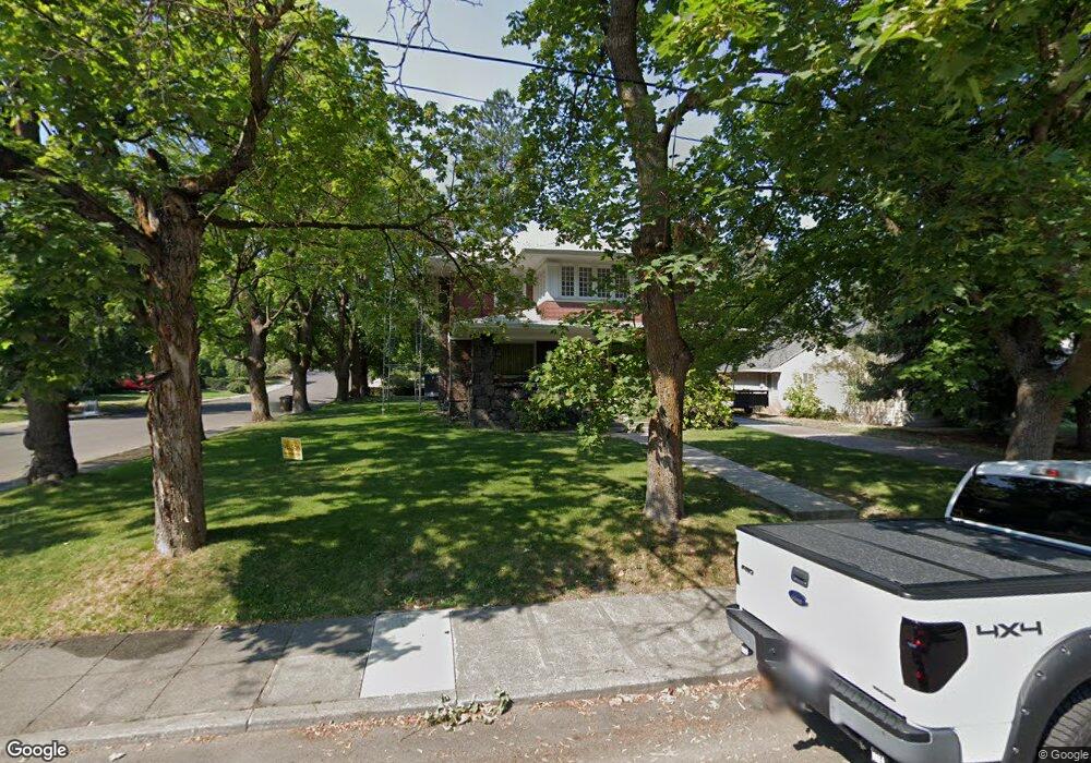
1212 S Bernard St Spokane, WA 99204
Cliff-Cannon NeighborhoodEstimated Value: $631,000 - $950,000
5
Beds
3
Baths
3,204
Sq Ft
$249/Sq Ft
Est. Value
About This Home
This home is located at 1212 S Bernard St, Spokane, WA 99204 and is currently estimated at $797,993, approximately $249 per square foot. 1212 S Bernard St is a home located in Spokane County with nearby schools including Roosevelt Elementary School, Sacajawea Middle School, and Lewis & Clark High School.
Ownership History
Date
Name
Owned For
Owner Type
Purchase Details
Closed on
Jun 1, 2018
Sold by
Tindall Charla Hindley
Bought by
Hindley Carol Sue
Current Estimated Value
Purchase Details
Closed on
Oct 20, 2017
Sold by
Tindall Charla Hindley and Frances Jean Combs Revocable L
Bought by
Hindley Carol Sue
Purchase Details
Closed on
Aug 10, 2011
Sold by
Combs Frances Jean and Combs Jean
Bought by
Combs Carol Sue Hindley and Frances Jean Combs Revocable Living Trus
Create a Home Valuation Report for This Property
The Home Valuation Report is an in-depth analysis detailing your home's value as well as a comparison with similar homes in the area
Home Values in the Area
Average Home Value in this Area
Purchase History
| Date | Buyer | Sale Price | Title Company |
|---|---|---|---|
| Hindley Carol Sue | -- | None Available | |
| Hindley Carol Sue | -- | None Available | |
| Combs Carol Sue Hindley | -- | None Available |
Source: Public Records
Tax History Compared to Growth
Tax History
| Year | Tax Paid | Tax Assessment Tax Assessment Total Assessment is a certain percentage of the fair market value that is determined by local assessors to be the total taxable value of land and additions on the property. | Land | Improvement |
|---|---|---|---|---|
| 2025 | $6,463 | $726,500 | $160,000 | $566,500 |
| 2024 | $6,463 | $785,900 | $150,000 | $635,900 |
| 2023 | $6,259 | $811,680 | $91,880 | $719,800 |
| 2022 | $5,005 | $774,470 | $79,670 | $694,800 |
| 2021 | $4,554 | $516,970 | $79,670 | $437,300 |
| 2020 | $5,881 | $477,070 | $79,670 | $397,400 |
| 2019 | $5,023 | $420,590 | $78,090 | $342,500 |
| 2018 | $5,500 | $395,730 | $65,630 | $330,100 |
| 2017 | $5,316 | $389,530 | $65,630 | $323,900 |
| 2016 | $5,473 | $392,430 | $65,630 | $326,800 |
| 2015 | $5,338 | $374,430 | $65,630 | $308,800 |
| 2014 | -- | $340,000 | $31,200 | $308,800 |
| 2013 | -- | $0 | $0 | $0 |
Source: Public Records
Map
Nearby Homes
- 780 W Cliff Dr
- 20 W Sumner Ave Unit 204
- 107 W 16th Ave
- 714 W 14th Ave
- 25 W 16th Ave
- 746 W Cliff Dr
- 845 W Cliff Dr
- 930 S Cowley St Unit 405
- 930 S Cowley St Unit 301
- 202 E Rockwood Blvd Unit 2
- 844 W Cliff Dr Unit 107
- 901 S Lincoln St
- 1907 S Oneida Place
- 300 E Rockwood Blvd
- 620 W 7th Ave Unit 401
- 620 W 7th Ave Unit 304
- 214 W 6th Ave Unit 106
- 214 W 6th Ave Unit 109
- 310 E 13th Ave
- 700 W 7th Ave Unit 806
- 1204 S Bernard St
- 1124 S Bernard St
- 307 W 13th Ave
- 311 W 13th Ave
- 1231 S Grove St
- 303 W 13th Ave
- 1120 S Bernard St
- 1223 S Grove St
- 317 W 13th Ave
- 1215 S Grove St
- 1307 S Grove St
- 1211 S Bernard St
- 1314 S Bernard St
- 1205 S Bernard St
- 1116 S Bernard St
- 1209 S Grove St
- 1125 S Bernard St Unit Quiet street
- 1125 S Bernard St Unit Not a busy road
- 1125 S Bernard St
- 1303 S Bernard St