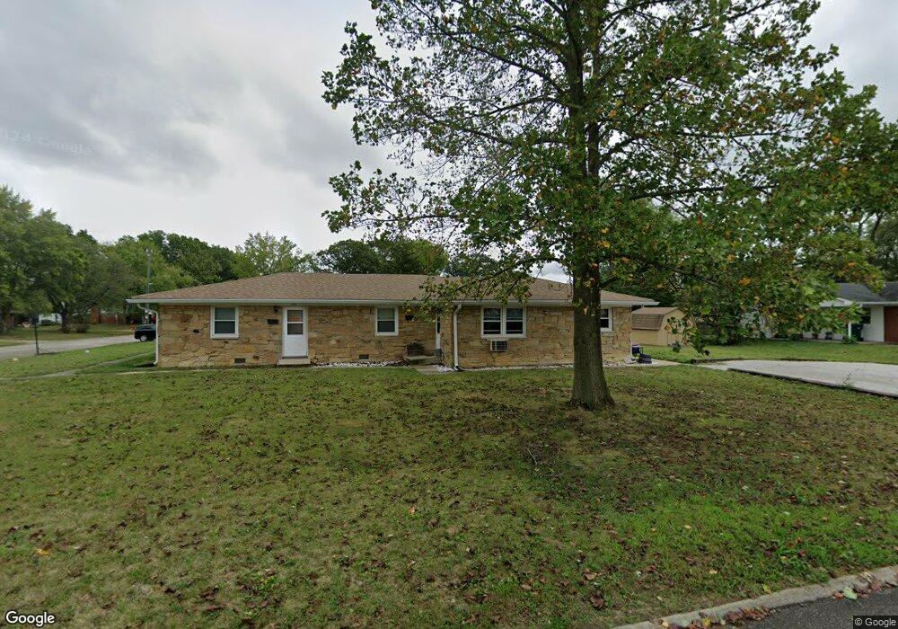
1215 Raymond St Unit 1217 Plainfield, IN 46168
Estimated Value: $248,000 - $275,043
4
Beds
2
Baths
1,890
Sq Ft
$140/Sq Ft
Est. Value
About This Home
This home is located at 1215 Raymond St Unit 1217, Plainfield, IN 46168 and is currently estimated at $264,261, approximately $139 per square foot. 1215 Raymond St Unit 1217 is a home located in Hendricks County with nearby schools including Brentwood Elementary School, Plainfield Community Middle School, and Plainfield High School.
Ownership History
Date
Name
Owned For
Owner Type
Purchase Details
Closed on
Mar 28, 2024
Sold by
Hieston Cynthia S and Hieston Robert J
Bought by
Cynthia S Hieston And Robert J Hieston Joint and Hieston
Current Estimated Value
Purchase Details
Closed on
Feb 16, 2021
Sold by
Hieston Cynthia S
Bought by
Hieston Cynthia S and Hieston Robert J
Purchase Details
Closed on
Dec 29, 2011
Sold by
Hieston Cynthia S
Bought by
Hieston Cynthia S
Create a Home Valuation Report for This Property
The Home Valuation Report is an in-depth analysis detailing your home's value as well as a comparison with similar homes in the area
Home Values in the Area
Average Home Value in this Area
Purchase History
| Date | Buyer | Sale Price | Title Company |
|---|---|---|---|
| Cynthia S Hieston And Robert J Hieston Joint | -- | None Listed On Document | |
| Hieston Cynthia S | -- | None Available | |
| Hieston Cynthia S | -- | None Available |
Source: Public Records
Tax History Compared to Growth
Tax History
| Year | Tax Paid | Tax Assessment Tax Assessment Total Assessment is a certain percentage of the fair market value that is determined by local assessors to be the total taxable value of land and additions on the property. | Land | Improvement |
|---|---|---|---|---|
| 2024 | $2,531 | $130,500 | $23,400 | $107,100 |
| 2023 | $2,601 | $130,500 | $23,400 | $107,100 |
| 2022 | $2,430 | $121,500 | $21,600 | $99,900 |
| 2021 | $966 | $121,500 | $23,200 | $98,300 |
| 2020 | $2,430 | $121,500 | $22,900 | $98,600 |
| 2019 | $2,430 | $121,500 | $22,900 | $98,600 |
| 2018 | $2,342 | $117,100 | $22,100 | $95,000 |
| 2017 | $2,343 | $117,100 | $23,500 | $93,600 |
| 2016 | $2,343 | $117,100 | $23,400 | $93,700 |
| 2014 | $2,343 | $117,100 | $23,700 | $93,400 |
Source: Public Records
Map
Nearby Homes
- 645 Masten St
- 800 Walton Dr
- 210 Kentucky Ave
- 628 Gibbs Ct
- 1713 Sycamore Dr
- 904 Brendon Dr
- 60 Pike Place
- 309 Duffey St
- 59 Elm Dr
- 2394 Eagle Ave
- 2198 Galleone Way
- 1171 Creekside Ln
- 1117 Valley View Dr
- 550 548 S Center St
- 327 S Mill St
- 416 Linden Ln
- 980 Andico Rd
- 147 N Center St
- 100 Lincoln St
- 225 N Center St
- 1225 Raymond St
- 613 Kentucky Ave Unit 615
- 1147 Raymond St Unit 1149
- 533 Kentucky Ave
- 1233 Raymond St
- 612 Lawndale Dr
- 614 Kentucky Ave
- 617 Kentucky Ave Unit 619
- 534 Kentucky Ave
- 1234 Raymond St Unit 1236
- 529 Kentucky Ave
- 1143 Raymond St Unit 1145
- 616 Lawndale Dr
- 618 Kentucky Ave
- 530 Kentucky Ave
- 530 Lawndale Dr Unit 532
- 621 Kentucky Ave Unit 623
- 605 Simmons St
- 1323 Raymond St