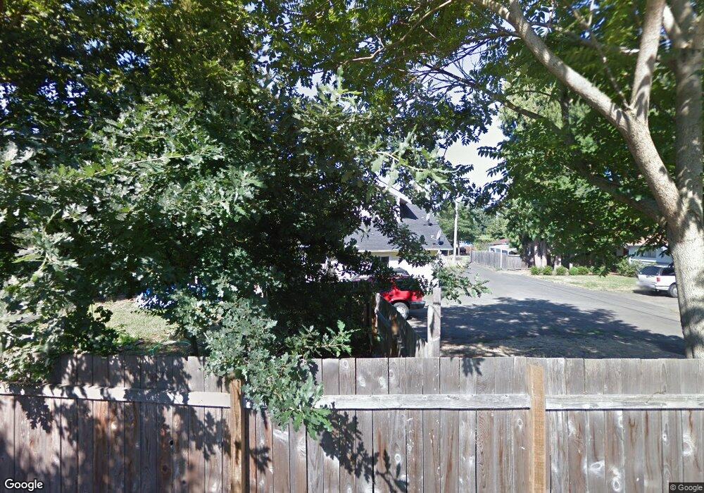
1217 River Rd Eugene, OR 97404
River Road NeighborhoodEstimated Value: $494,000 - $587,000
--
Bed
4
Baths
1,915
Sq Ft
$284/Sq Ft
Est. Value
About This Home
This home is located at 1217 River Rd, Eugene, OR 97404 and is currently estimated at $543,304, approximately $283 per square foot. 1217 River Rd is a home located in Lane County with nearby schools including River Road/El Camino del Río Elementary School, Kelly Middle School, and North Eugene High School.
Ownership History
Date
Name
Owned For
Owner Type
Purchase Details
Closed on
Nov 20, 2020
Sold by
Boettcher Brett A
Bought by
Pazca Leota Llc
Current Estimated Value
Purchase Details
Closed on
Sep 23, 2019
Sold by
Boettcher Cynthia A
Bought by
Boettcher Brett A
Purchase Details
Closed on
Nov 15, 2000
Sold by
Rox Investment Group
Bought by
Boettcher Brett A and Boettcher Cynthia A
Home Financials for this Owner
Home Financials are based on the most recent Mortgage that was taken out on this home.
Original Mortgage
$109,600
Interest Rate
7.82%
Purchase Details
Closed on
Nov 14, 2000
Sold by
Old Standard Life Insurance Company
Bought by
Rox Investment Group
Home Financials for this Owner
Home Financials are based on the most recent Mortgage that was taken out on this home.
Original Mortgage
$109,600
Interest Rate
7.82%
Create a Home Valuation Report for This Property
The Home Valuation Report is an in-depth analysis detailing your home's value as well as a comparison with similar homes in the area
Home Values in the Area
Average Home Value in this Area
Purchase History
| Date | Buyer | Sale Price | Title Company |
|---|---|---|---|
| Pazca Leota Llc | $349,000 | Cascade Title Co | |
| Boettcher Brett A | -- | None Available | |
| Boettcher Brett A | $137,000 | American Title Group | |
| Rox Investment Group | $70,093 | American Title Group |
Source: Public Records
Mortgage History
| Date | Status | Borrower | Loan Amount |
|---|---|---|---|
| Previous Owner | Boettcher Brett A | $109,600 |
Source: Public Records
Tax History
| Year | Tax Paid | Tax Assessment Tax Assessment Total Assessment is a certain percentage of the fair market value that is determined by local assessors to be the total taxable value of land and additions on the property. | Land | Improvement |
|---|---|---|---|---|
| 2025 | $4,660 | $277,382 | -- | -- |
| 2024 | $4,609 | $269,303 | -- | -- |
| 2023 | $4,609 | $261,460 | $0 | $0 |
| 2022 | $4,192 | $245,466 | $0 | $0 |
| 2021 | $3,899 | $238,317 | $0 | $0 |
| 2020 | $3,926 | $231,376 | $0 | $0 |
| 2019 | $3,788 | $224,637 | $0 | $0 |
| 2018 | $3,533 | $211,743 | $0 | $0 |
| 2017 | $3,403 | $211,743 | $0 | $0 |
| 2016 | $3,309 | $205,576 | $0 | $0 |
| 2015 | $3,229 | $199,588 | $0 | $0 |
| 2014 | $3,231 | $193,775 | $0 | $0 |
Source: Public Records
Map
Nearby Homes
- 260 Greenleaf Ave
- 32 Marion Ln
- 172 Oakleigh Ln Unit 513
- 172 Oakleigh Ln Unit 221
- 1420 Evergreen Dr
- 574 Wimbledon Ct
- 1360 Andersen Ln
- 172 Norman Ave
- 606 Wimbledon Ct
- 154 Norman Ave
- 805 River Rd
- 1010 Horn Ln
- 1483 Barton St
- 1487 Barton St
- 1685 Evergreen Dr
- 820 Park Terrace
- 1927 Lake Isle Dr
- 1314 Dalton Dr
- 0 River Rd Unit 634143722
- 2709 Riverwalk Loop
Your Personal Tour Guide
Ask me questions while you tour the home.