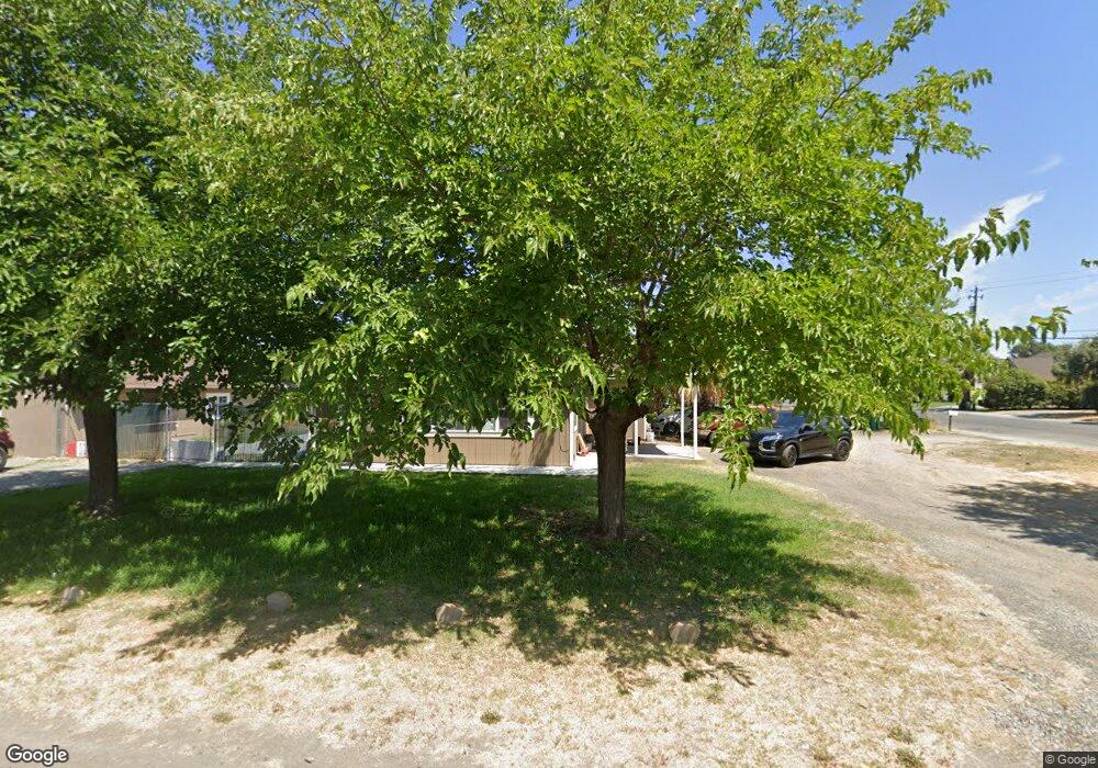
1220 Marguerite Ave Corning, CA 96021
Estimated Value: $218,000 - $341,000
3
Beds
1
Bath
1,296
Sq Ft
$215/Sq Ft
Est. Value
About This Home
This home is located at 1220 Marguerite Ave, Corning, CA 96021 and is currently estimated at $278,118, approximately $214 per square foot. 1220 Marguerite Ave is a home located in Tehama County with nearby schools including Olive View Elementary School, Maywood Middle School, and Corning High School.
Ownership History
Date
Name
Owned For
Owner Type
Purchase Details
Closed on
Mar 9, 2007
Sold by
Lince Cristobal S
Bought by
Lince Maria
Current Estimated Value
Home Financials for this Owner
Home Financials are based on the most recent Mortgage that was taken out on this home.
Original Mortgage
$184,000
Outstanding Balance
$111,555
Interest Rate
6.29%
Mortgage Type
Unknown
Estimated Equity
$166,563
Create a Home Valuation Report for This Property
The Home Valuation Report is an in-depth analysis detailing your home's value as well as a comparison with similar homes in the area
Home Values in the Area
Average Home Value in this Area
Purchase History
| Date | Buyer | Sale Price | Title Company |
|---|---|---|---|
| Lince Maria | -- | Fidelity National Title Co |
Source: Public Records
Mortgage History
| Date | Status | Borrower | Loan Amount |
|---|---|---|---|
| Open | Lince Maria | $184,000 |
Source: Public Records
Tax History Compared to Growth
Tax History
| Year | Tax Paid | Tax Assessment Tax Assessment Total Assessment is a certain percentage of the fair market value that is determined by local assessors to be the total taxable value of land and additions on the property. | Land | Improvement |
|---|---|---|---|---|
| 2025 | $1,350 | $130,619 | $30,727 | $99,892 |
| 2023 | $1,325 | $125,549 | $29,535 | $96,014 |
| 2022 | $1,306 | $123,088 | $28,956 | $94,132 |
| 2021 | $1,257 | $120,676 | $28,389 | $92,287 |
| 2020 | $1,271 | $119,439 | $28,098 | $91,341 |
| 2019 | $1,219 | $117,098 | $27,548 | $89,550 |
| 2018 | $1,221 | $114,803 | $27,008 | $87,795 |
| 2017 | $1,213 | $112,553 | $26,479 | $86,074 |
| 2016 | $1,131 | $110,347 | $25,960 | $84,387 |
| 2015 | -- | $108,691 | $25,571 | $83,120 |
| 2014 | $1,105 | $106,563 | $25,071 | $81,492 |
Source: Public Records
Map
Nearby Homes
- 1171 Peach St
- 828 Hickory St
- 705 Marin St
- 707 Marin St
- 0 Moon Rd Unit SN25123868
- 1537 4th Ave
- 1134 4th Ave
- 521 Divisidero Ave
- 1212 Fig Ln
- 265 Mclane Cir
- 575 North St
- 4019 Marguerite Ave
- 1162 5th Ave
- 818 6th St
- 1586 Link St
- 1414 Marin St
- 1195 West St
- 1495 South St
- 1419 Yolo St
- 0 Loleta Ave Unit SN25184964
- 1214 Marguerite Ave
- 1210 Marguerite Ave
- 1233 Fig St
- 1306 Marguerite Ave
- 1307 Fig St
- 1204 Marguerite Ave
- 402 Almond St
- 1336 Marguerite Ave
- 1337 Fig St
- 1215 Marguerite Ave
- 405 Chestnut St
- 1211 Marguerite Ave
- 404 Almond St
- 1466 Marguerite Ave
- 1467 Fig St
- 1205 Marguerite Ave
- 413 Chestnut St
- 406 Almond St
- 1230 E Cassandra Cir
- 1235 E Cassandra Cir