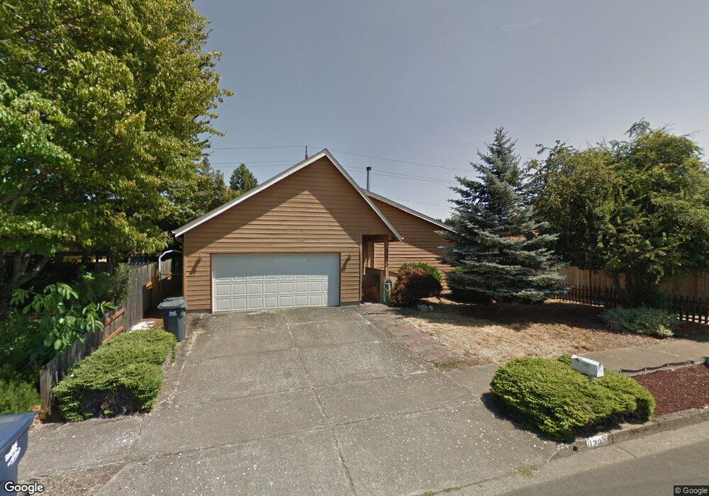
1233 Laurelhurst Dr Eugene, OR 97402
Bethel NeighborhoodEstimated Value: $380,000 - $406,000
3
Beds
2
Baths
1,506
Sq Ft
$262/Sq Ft
Est. Value
About This Home
This home is located at 1233 Laurelhurst Dr, Eugene, OR 97402 and is currently estimated at $394,691, approximately $262 per square foot. 1233 Laurelhurst Dr is a home located in Lane County with nearby schools including Danebo Elementary School, Shasta Middle School, and Willamette High School.
Ownership History
Date
Name
Owned For
Owner Type
Purchase Details
Closed on
Feb 22, 2012
Sold by
Branford Eleanor M
Bought by
Stevens Shannon L and Stevens Leanna J
Current Estimated Value
Home Financials for this Owner
Home Financials are based on the most recent Mortgage that was taken out on this home.
Original Mortgage
$136,451
Outstanding Balance
$92,918
Interest Rate
3.84%
Mortgage Type
New Conventional
Estimated Equity
$301,773
Create a Home Valuation Report for This Property
The Home Valuation Report is an in-depth analysis detailing your home's value as well as a comparison with similar homes in the area
Home Values in the Area
Average Home Value in this Area
Purchase History
| Date | Buyer | Sale Price | Title Company |
|---|---|---|---|
| Stevens Shannon L | $140,000 | Cascade Title Company |
Source: Public Records
Mortgage History
| Date | Status | Borrower | Loan Amount |
|---|---|---|---|
| Open | Stevens Shannon L | $136,451 |
Source: Public Records
Tax History
| Year | Tax Paid | Tax Assessment Tax Assessment Total Assessment is a certain percentage of the fair market value that is determined by local assessors to be the total taxable value of land and additions on the property. | Land | Improvement |
|---|---|---|---|---|
| 2025 | $3,664 | $210,664 | -- | -- |
| 2024 | $3,572 | $204,529 | -- | -- |
| 2023 | $3,572 | $198,572 | $0 | $0 |
| 2022 | $3,325 | $192,789 | $0 | $0 |
| 2021 | $3,255 | $187,174 | $0 | $0 |
| 2020 | $3,160 | $181,723 | $0 | $0 |
| 2019 | $3,005 | $176,431 | $0 | $0 |
| 2018 | $2,921 | $166,304 | $0 | $0 |
| 2017 | $2,791 | $166,304 | $0 | $0 |
| 2016 | $2,720 | $161,460 | $0 | $0 |
| 2015 | $2,667 | $156,757 | $0 | $0 |
| 2014 | $2,626 | $152,191 | $0 | $0 |
Source: Public Records
Map
Nearby Homes
- 4548 Cambon St
- 4554 Woodsboro St
- 1153 Elizabeth St
- 1562 Philip St
- 4280 Avalon St
- 870 Laurelhurst Dr
- 1145 Ludgate Dr
- 4749 Royal Ave
- 1159 Throne Dr
- 4941 Stagecoach Rd
- 4800 Barger Dr Unit 60
- 4055 Royal Ave Unit 93
- 4055 Royal Ave Unit 22
- 4055 Royal Ave Unit 150
- 4055 Royal Ave Unit 69
- 4055 Royal Ave Unit 87
- 1400 Candlelight Dr Unit 162
- 1400 Candlelight Dr Unit 208
- 1400 Candlelight Dr
- 1400 Candlelight Dr Unit 226
- 1245 Laurelhurst Dr
- 1221 Laurelhurst Dr
- 0 Fuller Ave Unit 20023274
- 0 Fuller Ave Unit 5300
- 1207 Laurelhurst Dr
- 4606 Fuller Ave
- 4605 Fuller Ave
- 1261 Laurelhurst Dr
- 1205 Laurelhurst Dr
- 4604 Concord St
- 1204 Laurelhurst Dr
- 4612 Fuller Ave
- 0 Laurelhurst Dr
- 4611 Fuller Ave
- 1273 Laurelhurst Dr
- 1203 Laurelhurst Dr
- 4595 Sean St
- 4610 Concord St
- 4609 Marshall Ave
- 4624 Fuller Ave
Your Personal Tour Guide
Ask me questions while you tour the home.