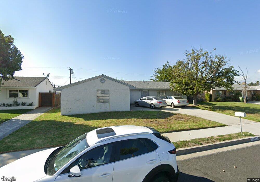
1243 Lawrence Cir Simi Valley, CA 93065
West Simi Valley NeighborhoodEstimated Value: $706,965 - $750,000
4
Beds
2
Baths
1,226
Sq Ft
$597/Sq Ft
Est. Value
About This Home
This home is located at 1243 Lawrence Cir, Simi Valley, CA 93065 and is currently estimated at $731,991, approximately $597 per square foot. 1243 Lawrence Cir is a home located in Ventura County with nearby schools including Berylwood Elementary School, Sinaloa Middle School, and Royal High School.
Ownership History
Date
Name
Owned For
Owner Type
Purchase Details
Closed on
Oct 26, 1993
Sold by
Pullium Vicki D
Bought by
Pullium Vicki D
Current Estimated Value
Home Financials for this Owner
Home Financials are based on the most recent Mortgage that was taken out on this home.
Original Mortgage
$80,000
Interest Rate
6.88%
Create a Home Valuation Report for This Property
The Home Valuation Report is an in-depth analysis detailing your home's value as well as a comparison with similar homes in the area
Home Values in the Area
Average Home Value in this Area
Purchase History
| Date | Buyer | Sale Price | Title Company |
|---|---|---|---|
| Pullium Vicki D | -- | Commonwealth Land Title Co |
Source: Public Records
Mortgage History
| Date | Status | Borrower | Loan Amount |
|---|---|---|---|
| Closed | Pullium Vicki D | $80,000 |
Source: Public Records
Tax History
| Year | Tax Paid | Tax Assessment Tax Assessment Total Assessment is a certain percentage of the fair market value that is determined by local assessors to be the total taxable value of land and additions on the property. | Land | Improvement |
|---|---|---|---|---|
| 2025 | $1,351 | $61,168 | $19,556 | $41,612 |
| 2024 | $1,351 | $59,969 | $19,172 | $40,797 |
| 2023 | $1,265 | $58,794 | $18,796 | $39,998 |
| 2022 | $1,219 | $57,642 | $18,428 | $39,214 |
| 2021 | $1,174 | $56,512 | $18,066 | $38,446 |
| 2020 | $1,125 | $55,934 | $17,882 | $38,052 |
| 2019 | $1,067 | $54,838 | $17,532 | $37,306 |
| 2018 | $1,033 | $53,764 | $17,189 | $36,575 |
| 2017 | $991 | $52,710 | $16,852 | $35,858 |
| 2016 | $937 | $51,677 | $16,522 | $35,155 |
| 2015 | $898 | $50,903 | $16,275 | $34,628 |
| 2014 | $862 | $49,907 | $15,957 | $33,950 |
Source: Public Records
Map
Nearby Homes
- 1763 Kearney Ave
- 2025 Royal Ave
- 1890 Hamilton St
- 2095 Morley St
- 1932 Heywood St Unit B
- 1904 Heywood St Unit L
- 2002 Malcolm St
- 969 Roldan Ave
- 2136 Rosecrans St
- 2165 Malcolm St
- 1995 Covington Ave
- 1558 Ysrella Ave
- 1755 Heywood St
- 1147 Brandon Ave
- 2044 Covington Ave
- 1387 Cherry Ave
- 896 Moffatt Cir
- 1442 Sorrel St
- 2098 Covington Ave
- 1448 Patricia Ave Unit 203
- 1231 Lawrence Cir
- 1234 Lawrence Cir
- 1267 Lawrence Cir
- 1248 Lawrence Cir
- 1220 Lawrence Cir
- 1219 Lawrence Cir
- 1262 Lawrence Cir
- 1279 Lawrence Cir
- 1207 Lawrence Cir
- 1258 Able Cir
- 1208 Lawrence Cir
- 1235 Erringer Rd
- 1249 Erringer Rd
- 1243 Able Cir Unit B
- 1243 Able Cir Unit 1
- 1243 Able Cir
- 1221 Erringer Rd
- 1276 Lawrence Cir
- 1263 Erringer Rd
- 1291 Lawrence Cir
Your Personal Tour Guide
Ask me questions while you tour the home.