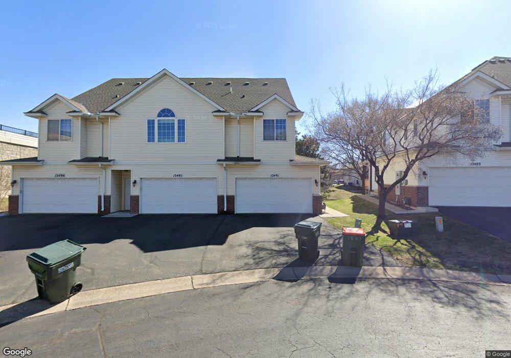
12491 Unity St NW Coon Rapids, MN 55448
Estimated Value: $275,846 - $298,000
3
Beds
3
Baths
1,329
Sq Ft
$214/Sq Ft
Est. Value
About This Home
This home is located at 12491 Unity St NW, Coon Rapids, MN 55448 and is currently estimated at $283,962, approximately $213 per square foot. 12491 Unity St NW is a home located in Anoka County with nearby schools including Sand Creek Elementary School, Northdale Middle School, and Green Valley High School.
Ownership History
Date
Name
Owned For
Owner Type
Purchase Details
Closed on
Jul 19, 2010
Sold by
Schik Mark A and Schik Doreen M
Bought by
Brown Nicole A
Current Estimated Value
Home Financials for this Owner
Home Financials are based on the most recent Mortgage that was taken out on this home.
Original Mortgage
$99,000
Outstanding Balance
$66,082
Interest Rate
4.81%
Mortgage Type
New Conventional
Estimated Equity
$217,880
Purchase Details
Closed on
Feb 11, 2009
Sold by
Deutsche Bank National Trust Co
Bought by
Schik Mark A and Schik Doreen M
Home Financials for this Owner
Home Financials are based on the most recent Mortgage that was taken out on this home.
Original Mortgage
$83,200
Interest Rate
5.09%
Mortgage Type
New Conventional
Purchase Details
Closed on
Nov 27, 2002
Sold by
Prime Builders Inc
Bought by
Tuveson Kristen N and Cortney Christie
Create a Home Valuation Report for This Property
The Home Valuation Report is an in-depth analysis detailing your home's value as well as a comparison with similar homes in the area
Home Values in the Area
Average Home Value in this Area
Purchase History
| Date | Buyer | Sale Price | Title Company |
|---|---|---|---|
| Brown Nicole A | $133,000 | -- | |
| Schik Mark A | $104,000 | -- | |
| Tuveson Kristen N | $174,586 | -- |
Source: Public Records
Mortgage History
| Date | Status | Borrower | Loan Amount |
|---|---|---|---|
| Open | Brown Nicole A | $99,000 | |
| Previous Owner | Schik Mark A | $83,200 |
Source: Public Records
Tax History Compared to Growth
Tax History
| Year | Tax Paid | Tax Assessment Tax Assessment Total Assessment is a certain percentage of the fair market value that is determined by local assessors to be the total taxable value of land and additions on the property. | Land | Improvement |
|---|---|---|---|---|
| 2025 | $2,699 | $271,900 | $50,000 | $221,900 |
| 2024 | $2,699 | $266,400 | $55,000 | $211,400 |
| 2023 | $2,300 | $263,600 | $40,000 | $223,600 |
| 2022 | $2,252 | $243,600 | $31,500 | $212,100 |
| 2021 | $2,178 | $214,100 | $20,000 | $194,100 |
| 2020 | $2,041 | $203,300 | $20,000 | $183,300 |
| 2019 | $1,965 | $185,100 | $20,000 | $165,100 |
| 2018 | $1,820 | $174,300 | $0 | $0 |
| 2017 | $1,655 | $158,900 | $0 | $0 |
| 2016 | $1,667 | $143,200 | $0 | $0 |
| 2015 | $1,673 | $143,200 | $7,000 | $136,200 |
| 2014 | -- | $126,800 | $7,000 | $119,800 |
Source: Public Records
Map
Nearby Homes
- 12488 Unity St NW
- 899 123rd Ln NW
- 12357 Magnolia St NW
- 1234 128th Cir NW
- 1450 126th Ln NW
- 12463 Drake St NW
- 12796 Bluebird St NW
- 11923 Wintergreen St NW
- 1593 126th Ln NW
- 1625 124th Ave NW
- 633 Sand Creek Dr NW
- 1520 129th Ave NW
- 11852 Yellow Pine St NW
- 12554 Grouse St NW
- 12010 Eagle St NW
- 1449 119th Ln NW
- 12365 Jay St NW
- 1727 121st Ln NW
- 11640 Larch St NW
- 1930 127th Cir NW
- 12495 Unity St NW
- 12495 Unity St NW
- 12499 Unity St NW
- 12483 Unity St NW Unit 16
- 12479 Unity St NW
- 12475 Unity St NW
- 12475 Unity St NW
- 12467 Unity St NW
- 12475 Sycamore St NW
- 12463 Unity St NW
- 12472 Sycamore St NW
- 12459 Unity St NW
- 12459 Unity St NW
- 12480 Unity St NW Unit 8
- 12471 Sycamore St NW
- 12492 Unity St NW
- 12468 Unity St NW
- 12476 Unity St NW
- 12472 Unity St NW Unit 6
- 12468 Sycamore St NW