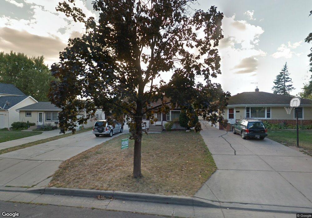
1271 Etna St Saint Paul, MN 55106
Prosperity Heights NeighborhoodEstimated Value: $283,000 - $307,000
4
Beds
2
Baths
1,810
Sq Ft
$164/Sq Ft
Est. Value
About This Home
This home is located at 1271 Etna St, Saint Paul, MN 55106 and is currently estimated at $296,313, approximately $163 per square foot. 1271 Etna St is a home located in Ramsey County with nearby schools including Frost Lake Elementary School, Txuj Ci HMong Language and Culture Upper Campus, and Battle Creek Middle School.
Ownership History
Date
Name
Owned For
Owner Type
Purchase Details
Closed on
Aug 23, 2019
Sold by
Chang Cherry and Vue Koua
Bought by
Fang Lin Fong
Current Estimated Value
Home Financials for this Owner
Home Financials are based on the most recent Mortgage that was taken out on this home.
Original Mortgage
$220,400
Outstanding Balance
$193,030
Interest Rate
3.7%
Mortgage Type
New Conventional
Estimated Equity
$103,283
Purchase Details
Closed on
Nov 14, 1996
Sold by
Lenz Ronald S and Lenz Mary Ann
Bought by
Bakken Roger J
Create a Home Valuation Report for This Property
The Home Valuation Report is an in-depth analysis detailing your home's value as well as a comparison with similar homes in the area
Home Values in the Area
Average Home Value in this Area
Purchase History
| Date | Buyer | Sale Price | Title Company |
|---|---|---|---|
| Fang Lin Fong | $232,000 | Arden Title Llc | |
| Bakken Roger J | $79,000 | -- |
Source: Public Records
Mortgage History
| Date | Status | Borrower | Loan Amount |
|---|---|---|---|
| Open | Fang Lin Fong | $220,400 |
Source: Public Records
Tax History Compared to Growth
Tax History
| Year | Tax Paid | Tax Assessment Tax Assessment Total Assessment is a certain percentage of the fair market value that is determined by local assessors to be the total taxable value of land and additions on the property. | Land | Improvement |
|---|---|---|---|---|
| 2025 | $4,054 | $298,400 | $30,000 | $268,400 |
| 2023 | $4,054 | $262,600 | $25,000 | $237,600 |
| 2022 | $3,838 | $288,100 | $25,000 | $263,100 |
| 2021 | $3,282 | $231,800 | $25,000 | $206,800 |
| 2020 | $3,420 | $222,300 | $14,900 | $207,400 |
| 2019 | $3,358 | $207,700 | $14,900 | $192,800 |
| 2018 | $3,002 | $201,800 | $14,900 | $186,900 |
| 2017 | $2,762 | $195,600 | $14,900 | $180,700 |
| 2016 | $2,366 | $0 | $0 | $0 |
| 2015 | $2,316 | $159,700 | $14,900 | $144,800 |
| 2014 | -- | $0 | $0 | $0 |
Source: Public Records
Map
Nearby Homes
- 1229 Clarence St
- 1357 Birmingham St
- 1221 Clarence St
- 1377 Clarence St
- 1099 Barclay St Unit 1099
- 1351 Magnolia Ave E Unit 1351
- 1443 Hazelwood St
- 1118 Lane Place
- 1153 Hawthorne Ave E
- 1560 Nebraska Ave E
- 1151 Herbert St
- 1111 Maryland Ave E
- 1106 Hawthorne Ave E
- 1211 Kennard St
- 1074 Hyacinth Ave E
- 1210 Cook Ave E
- 1082 Hawthorne Ave E
- 1569 Montana Ave E
- 1675 Maryland Ave E
- 1567 Atlantic St