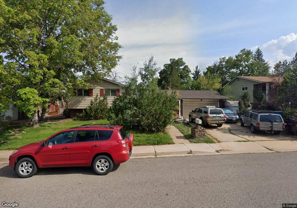
130 Mohawk Dr Boulder, CO 80303
Southeast Boulder NeighborhoodEstimated Value: $1,019,000 - $1,586,000
6
Beds
3
Baths
3,328
Sq Ft
$380/Sq Ft
Est. Value
About This Home
This home is located at 130 Mohawk Dr, Boulder, CO 80303 and is currently estimated at $1,264,903, approximately $380 per square foot. 130 Mohawk Dr is a home located in Boulder County with nearby schools including Eisenhower Elementary School, Manhattan Middle School of the Arts & Academics, and Fairview High School.
Ownership History
Date
Name
Owned For
Owner Type
Purchase Details
Closed on
Sep 28, 2016
Sold by
Sclhern John S and Sclhern Jernie L
Bought by
Selhein Fredrick
Current Estimated Value
Purchase Details
Closed on
Oct 17, 2003
Sold by
Krown Patricia E
Bought by
Solheim John S
Home Financials for this Owner
Home Financials are based on the most recent Mortgage that was taken out on this home.
Original Mortgage
$260,000
Interest Rate
5%
Mortgage Type
Unknown
Purchase Details
Closed on
Apr 20, 1990
Bought by
Solheim John S and Solheim Jeannie L
Create a Home Valuation Report for This Property
The Home Valuation Report is an in-depth analysis detailing your home's value as well as a comparison with similar homes in the area
Home Values in the Area
Average Home Value in this Area
Purchase History
| Date | Buyer | Sale Price | Title Company |
|---|---|---|---|
| Selhein Fredrick | $25,000 | None Available | |
| Solheim John S | $425,000 | Land Title | |
| Solheim John S | $169,500 | -- |
Source: Public Records
Mortgage History
| Date | Status | Borrower | Loan Amount |
|---|---|---|---|
| Previous Owner | Solheim John S | $260,000 |
Source: Public Records
Tax History
| Year | Tax Paid | Tax Assessment Tax Assessment Total Assessment is a certain percentage of the fair market value that is determined by local assessors to be the total taxable value of land and additions on the property. | Land | Improvement |
|---|---|---|---|---|
| 2025 | $6,359 | $56,500 | $38,850 | $17,650 |
| 2024 | $6,359 | $56,500 | $38,850 | $17,650 |
| 2023 | $6,246 | $71,462 | $54,391 | $20,757 |
| 2022 | $5,336 | $56,656 | $38,906 | $17,750 |
| 2021 | $5,092 | $58,287 | $40,026 | $18,261 |
| 2020 | $4,695 | $53,932 | $32,604 | $21,328 |
| 2019 | $4,623 | $53,932 | $32,604 | $21,328 |
| 2018 | $4,448 | $51,307 | $30,672 | $20,635 |
| 2017 | $4,309 | $56,723 | $33,910 | $22,813 |
| 2016 | $3,893 | $44,974 | $23,004 | $21,970 |
| 2015 | $3,687 | $40,803 | $18,786 | $22,017 |
| 2014 | $3,431 | $40,803 | $18,786 | $22,017 |
Source: Public Records
Map
Nearby Homes
- 4521 Navajo Place
- 4595 Moorhead Ave
- 4453 Hamilton Ct
- 4835 Moorhead Ave
- 4800 Osage Dr Unit B-16
- 167 Cherokee Way
- 210 S 39th St
- 3805 Martin Dr
- 4763 Tantra Dr Unit B
- 450 S 41st St
- 750 W Moorhead Cir Unit A
- 20 S Boulder Cir Unit 20-2204
- 33 S Boulder Cir Unit 316
- 33 S Boulder Cir Unit 306
- 725 S 45th St
- 800 W Moorhead Cir Unit E
- 40 S Boulder Cir Unit 4034
- 30 S Boulder Cir Unit 3018
- 860 W Moorhead Cir Unit 2K
- 860 W Moorhead Cir Unit 1I
Your Personal Tour Guide
Ask me questions while you tour the home.