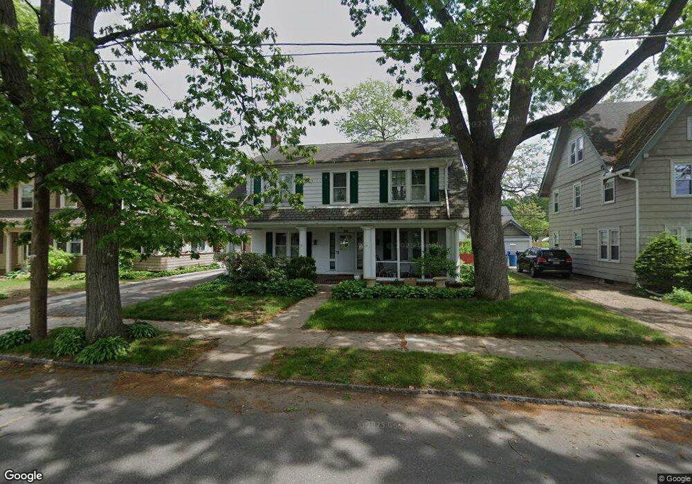
131 Kimberly Ave Springfield, MA 01108
Forest Park NeighborhoodEstimated Value: $319,374 - $388,000
4
Beds
3
Baths
2,416
Sq Ft
$146/Sq Ft
Est. Value
About This Home
This home is located at 131 Kimberly Ave, Springfield, MA 01108 and is currently estimated at $351,594, approximately $145 per square foot. 131 Kimberly Ave is a home located in Hampden County with nearby schools including White Street Elementary School, M Marcus Kiley Middle, and High School Of Commerce.
Ownership History
Date
Name
Owned For
Owner Type
Purchase Details
Closed on
Oct 17, 2023
Sold by
Caban Sarah
Bought by
Caban-Holt Allison and Caban Cynthia
Current Estimated Value
Purchase Details
Closed on
Dec 3, 2001
Sold by
Allen Mary Jo
Bought by
Caban Sarah
Home Financials for this Owner
Home Financials are based on the most recent Mortgage that was taken out on this home.
Original Mortgage
$128,955
Interest Rate
6.66%
Mortgage Type
Purchase Money Mortgage
Create a Home Valuation Report for This Property
The Home Valuation Report is an in-depth analysis detailing your home's value as well as a comparison with similar homes in the area
Home Values in the Area
Average Home Value in this Area
Purchase History
| Date | Buyer | Sale Price | Title Company |
|---|---|---|---|
| Caban-Holt Allison | -- | None Available | |
| Caban Sarah | $130,000 | -- |
Source: Public Records
Mortgage History
| Date | Status | Borrower | Loan Amount |
|---|---|---|---|
| Previous Owner | Caban Sarah | $116,000 | |
| Previous Owner | Caban Sarah | $128,955 | |
| Previous Owner | Caban Sarah | $64,500 |
Source: Public Records
Tax History
| Year | Tax Paid | Tax Assessment Tax Assessment Total Assessment is a certain percentage of the fair market value that is determined by local assessors to be the total taxable value of land and additions on the property. | Land | Improvement |
|---|---|---|---|---|
| 2025 | $4,169 | $265,900 | $31,100 | $234,800 |
| 2024 | $4,025 | $250,600 | $31,100 | $219,500 |
| 2023 | $3,724 | $218,400 | $28,300 | $190,100 |
| 2022 | $3,781 | $200,900 | $28,100 | $172,800 |
| 2021 | $3,521 | $186,300 | $25,500 | $160,800 |
| 2020 | $3,119 | $159,700 | $25,500 | $134,200 |
| 2019 | $3,064 | $155,700 | $25,500 | $130,200 |
| 2018 | $3,133 | $159,200 | $25,500 | $133,700 |
| 2017 | $3,006 | $152,900 | $22,500 | $130,400 |
| 2016 | $2,717 | $138,200 | $22,500 | $115,700 |
| 2015 | $2,911 | $148,000 | $22,500 | $125,500 |
Source: Public Records
Map
Nearby Homes
- 137 Kimberly Ave
- 125 Kimberly Ave
- 190 Daviston St
- 182 Daviston St
- 143 Kimberly Ave
- 119 Kimberly Ave
- 166 W Alvord St
- 162 W Alvord St Unit 164
- 130 Kimberly Ave
- 140 Kimberly Ave
- 149 Kimberly Ave
- 115 Kimberly Ave
- 120 Kimberly Ave
- 154 W Alvord St Unit 156
- 144 Kimberly Ave
- 193 Daviston St
- 187 Daviston St
- 114 Kimberly Ave
- 77 Mansfield St
- 150 W Alvord St Unit 152
Your Personal Tour Guide
Ask me questions while you tour the home.