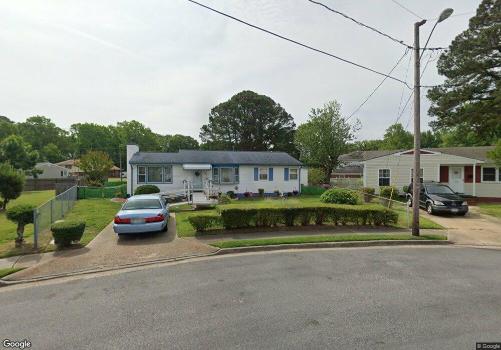
1320 Colebrook Dr Hampton, VA 23669
Phoebus NeighborhoodEstimated Value: $224,000 - $242,000
3
Beds
1
Bath
1,168
Sq Ft
$200/Sq Ft
Est. Value
About This Home
This home is located at 1320 Colebrook Dr, Hampton, VA 23669 and is currently estimated at $233,539, approximately $199 per square foot. 1320 Colebrook Dr is a home located in Hampton City with nearby schools including Capt. John Smith Elementary School, Benjamin Syms Middle School, and Phoebus High School.
Ownership History
Date
Name
Owned For
Owner Type
Purchase Details
Closed on
Apr 19, 2024
Sold by
Mcqueen Jacqueline T and Terry Fred J
Bought by
Mcqueen Larry and Mcqueen Jacqueline T
Current Estimated Value
Home Financials for this Owner
Home Financials are based on the most recent Mortgage that was taken out on this home.
Original Mortgage
$120,000
Outstanding Balance
$118,207
Interest Rate
6.88%
Mortgage Type
New Conventional
Estimated Equity
$115,332
Create a Home Valuation Report for This Property
The Home Valuation Report is an in-depth analysis detailing your home's value as well as a comparison with similar homes in the area
Home Values in the Area
Average Home Value in this Area
Purchase History
| Date | Buyer | Sale Price | Title Company |
|---|---|---|---|
| Mcqueen Larry | -- | Old Republic National Title |
Source: Public Records
Mortgage History
| Date | Status | Borrower | Loan Amount |
|---|---|---|---|
| Open | Mcqueen Larry | $120,000 |
Source: Public Records
Tax History
| Year | Tax Paid | Tax Assessment Tax Assessment Total Assessment is a certain percentage of the fair market value that is determined by local assessors to be the total taxable value of land and additions on the property. | Land | Improvement |
|---|---|---|---|---|
| 2025 | $2,487 | $212,200 | $57,000 | $155,200 |
| 2024 | $2,260 | $196,500 | $57,000 | $139,500 |
| 2023 | $1,663 | $164,100 | $52,500 | $111,600 |
| 2022 | $1,897 | $160,800 | $52,500 | $108,300 |
| 2021 | $1,651 | $128,100 | $42,000 | $86,100 |
| 2020 | $1,509 | $121,700 | $35,900 | $85,800 |
| 2019 | $1,509 | $121,700 | $35,900 | $85,800 |
| 2018 | $1,588 | $119,200 | $35,900 | $83,300 |
| 2017 | $1,572 | $0 | $0 | $0 |
| 2016 | $1,572 | $119,200 | $0 | $0 |
| 2015 | $1,572 | $0 | $0 | $0 |
| 2014 | $1,225 | $122,700 | $35,900 | $86,800 |
Source: Public Records
Map
Nearby Homes
- 1307 Colebrook Dr
- 237 Canford Dr
- 208 Woodland Rd
- 15 Gayle St
- 304 Woodland Rd
- 1504 E Pembroke Ave
- 54 George Ct
- 3 Calhoun St
- 124 Southerland Dr
- 814 Old Point Ave
- 64 Ireland St
- 1530 Morgan Dr
- 213 Ireland St
- 573 Old Point Ave
- 128 Cambridge Place
- 1845 Kensington Dr
- 31 Scotland Rd
- 121 Cambridge Place
- 105 Prentiss Ln
- 122 Chichester Ave
- 228 Canton Dr
- 1318 Colebrook Dr
- 229 Woodland Rd
- 230 Canton Dr
- 1316 Colebrook Dr
- 1317 Colebrook Dr
- 1400 Antoinette Cir
- 227 Woodland Rd
- 1315 Colebrook Dr
- 1314 Colebrook Dr
- 230 Woodland Rd
- 1401 Antoinette Cir
- 232 Canton Dr
- 1402 Antoinette Cir
- 1314 Woodcrest Dr
- 1313 Colebrook Dr
- 1403 Antoinette Cir
- 1312 Woodcrest Dr
- 1312 Colebrook Dr
- 225 Woodland Rd
Your Personal Tour Guide
Ask me questions while you tour the home.