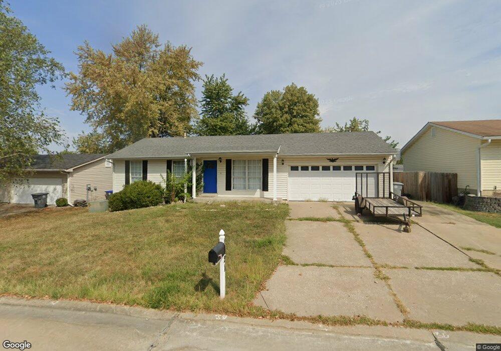
1321 Manuka Dr O Fallon, MO 63366
Estimated Value: $243,000 - $258,000
3
Beds
1
Bath
888
Sq Ft
$282/Sq Ft
Est. Value
About This Home
This home is located at 1321 Manuka Dr, O Fallon, MO 63366 and is currently estimated at $250,385, approximately $281 per square foot. 1321 Manuka Dr is a home located in St. Charles County with nearby schools including G.L. Priess Primary School, Quest Elementary School, and Cornwall-on-Hudson Elementary School.
Ownership History
Date
Name
Owned For
Owner Type
Purchase Details
Closed on
Feb 11, 1999
Sold by
Doering Scott A and Doering Amber M
Bought by
Peters Marvin F and Peters Roxana
Current Estimated Value
Purchase Details
Closed on
Oct 31, 1997
Sold by
Reppenhagen Allan K Nellie M
Bought by
Doering Scott A and Doering Amber M
Home Financials for this Owner
Home Financials are based on the most recent Mortgage that was taken out on this home.
Original Mortgage
$79,254
Interest Rate
6.85%
Mortgage Type
VA
Create a Home Valuation Report for This Property
The Home Valuation Report is an in-depth analysis detailing your home's value as well as a comparison with similar homes in the area
Home Values in the Area
Average Home Value in this Area
Purchase History
| Date | Buyer | Sale Price | Title Company |
|---|---|---|---|
| Peters Marvin F | $82,000 | -- | |
| Doering Scott A | -- | -- |
Source: Public Records
Mortgage History
| Date | Status | Borrower | Loan Amount |
|---|---|---|---|
| Previous Owner | Doering Scott A | $79,254 |
Source: Public Records
Tax History Compared to Growth
Tax History
| Year | Tax Paid | Tax Assessment Tax Assessment Total Assessment is a certain percentage of the fair market value that is determined by local assessors to be the total taxable value of land and additions on the property. | Land | Improvement |
|---|---|---|---|---|
| 2025 | $2,599 | $39,160 | -- | -- |
| 2023 | $2,600 | $36,724 | $0 | $0 |
| 2022 | $2,341 | $30,713 | $0 | $0 |
| 2021 | $2,342 | $30,713 | $0 | $0 |
| 2020 | $2,180 | $27,947 | $0 | $0 |
| 2019 | $2,046 | $27,947 | $0 | $0 |
| 2018 | $1,937 | $25,156 | $0 | $0 |
| 2017 | $1,904 | $25,156 | $0 | $0 |
| 2016 | $1,684 | $22,057 | $0 | $0 |
| 2015 | $1,084 | $22,057 | $0 | $0 |
| 2014 | $1,546 | $20,917 | $0 | $0 |
Source: Public Records
Map
Nearby Homes
- 1330 Shallow Lake Dr
- 130 Royal Troon Dr
- TBB Glenwyck "A"@inverness
- New Build Berkshire "A" @ Inverness
- 142 Royal Troon Dr
- New Build Berkshire "C" @ Inverness
- New Build Berkshire II "D" @ Inverness
- 143 Royal Troon Dr
- 1245 Summer Lynne Dr
- 113 Royal Troon Dr
- 109 Royal Troon Dr
- 11 Warchol Ct
- 66 Hickory Meadows Ct
- 114 Cloverleaf Meadows Ct
- The Carlton II Plan at Inverness
- The Stansbury II Plan at Inverness
- The Berkshire II Plan at Inverness
- The Bellwynn Plan at Inverness
- The Carlton Plan at Inverness
- The Berkshire Plan at Inverness
- 1317 Manuka Dr
- 1325 Manuka Dr
- 1322 Half Moon Dr
- 1326 Half Moon Dr
- 1313 Manuka Dr
- 1329 Manuka Dr
- 1322 Manuka Dr
- 1318 Manuka Dr
- 1314 Half Moon Dr
- 1330 Half Moon Dr
- 1314 Manuka Dr
- 1309 Manuka Dr
- 1333 Manuka Dr
- 1330 Manuka Dr
- 1310 Half Moon Dr
- 1334 Half Moon Dr
- 1321 Half Moon Dr
- 1310 Manuka Dr
- 1321 Warrior Song Way
- 1317 Half Moon Dr