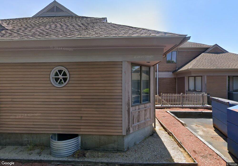
133 Falmouth Rd Unit I-D Mashpee, MA 02649
Estimated Value: $369,172
--
Bed
--
Bath
--
Sq Ft
3.61
Acres
About This Home
This home is located at 133 Falmouth Rd Unit I-D, Mashpee, MA 02649 and is currently estimated at $369,172. 133 Falmouth Rd Unit I-D is a home located in Barnstable County with nearby schools including Kenneth C. Coombs School, Quashnet School, and Mashpee Middle School.
Ownership History
Date
Name
Owned For
Owner Type
Purchase Details
Closed on
Jul 13, 1995
Sold by
Egerton Homes Mass Inc
Bought by
Parry Ruth A
Current Estimated Value
Purchase Details
Closed on
Sep 20, 1994
Sold by
Shellback Way Rt and Terry Robert E
Bought by
Map Nt and Cirillo Kenneth J
Home Financials for this Owner
Home Financials are based on the most recent Mortgage that was taken out on this home.
Original Mortgage
$457,500
Interest Rate
8.38%
Mortgage Type
Commercial
Create a Home Valuation Report for This Property
The Home Valuation Report is an in-depth analysis detailing your home's value as well as a comparison with similar homes in the area
Home Values in the Area
Average Home Value in this Area
Purchase History
| Date | Buyer | Sale Price | Title Company |
|---|---|---|---|
| Parry Ruth A | $92,000 | -- | |
| Map Nt | $575,000 | -- |
Source: Public Records
Mortgage History
| Date | Status | Borrower | Loan Amount |
|---|---|---|---|
| Open | Map Nt | $173,000 | |
| Open | Map Nt | $418,000 | |
| Previous Owner | Map Nt | $457,500 |
Source: Public Records
Tax History Compared to Growth
Tax History
| Year | Tax Paid | Tax Assessment Tax Assessment Total Assessment is a certain percentage of the fair market value that is determined by local assessors to be the total taxable value of land and additions on the property. | Land | Improvement |
|---|---|---|---|---|
| 2025 | -- | $127,700 | $52,000 | $75,700 |
| 2024 | -- | $118,500 | $47,300 | $71,200 |
| 2023 | $0 | $112,000 | $45,100 | $66,900 |
| 2022 | $0 | $95,300 | $36,600 | $58,700 |
| 2021 | $0 | $91,500 | $33,000 | $58,500 |
| 2020 | $0 | $90,000 | $31,800 | $58,200 |
| 2019 | $0 | $89,700 | $31,800 | $57,900 |
| 2018 | $9,659 | $89,400 | $31,800 | $57,600 |
| 2017 | -- | $100,900 | $43,300 | $57,600 |
| 2016 | -- | $97,400 | $43,300 | $54,100 |
| 2015 | $5,091 | $97,400 | $43,300 | $54,100 |
| 2014 | $5,091 | $101,800 | $47,700 | $54,100 |
Source: Public Records
Map
Nearby Homes
- 195 Falmouth Rd Unit 10E
- 195 Falmouth Rd Unit 12F
- 195 Falmouth Rd Unit 9D
- 195 Falmouth Rd Unit 7B
- 295 Pheasant Hill Cir
- 16 Spring Brook Ln
- 70 Cape Dr Unit 14D
- 70 Cape Dr Unit 11D
- 70 Cape Dr Unit 11D
- 5 Darby Point Unit 5
- 22 Stratford Ridge Unit 22
- 4 Bishops Park
- 70 Simons Rd Unit E
- 70 Simons Rd
- 6 Mayfair Ct
- 6 Mayfair Ct Unit 6
- 35 Claulise Ln
- 220 Dunrobin Rd
- 226 Dunrobin Rd
- 30 Windsor Point
- 133 Falmouth Rd
- 133 Falmouth Rd Unit 1
- 142 Falmouth Rd
- 17 Trinity Place Unit D
- 17 Trinity Place Unit B
- 17 Trinity Place Unit C
- 17 Trinity Place Unit A
- 17 Trinity Place
- 33 Eagle Ln
- 9 Eagle Ln
- 9 Eagle Ln
- 20 Eagle Ln
- 161 Falmouth Rd
- 20 Eagle Ln
- 160 Falmouth Rd
- 14 Sampsons Mill Rd
- 360 Pheasant Hill Cir
- 10 Eagle Ln
- 350 Pheasant Hill Cir
- 4 Eagle Ln