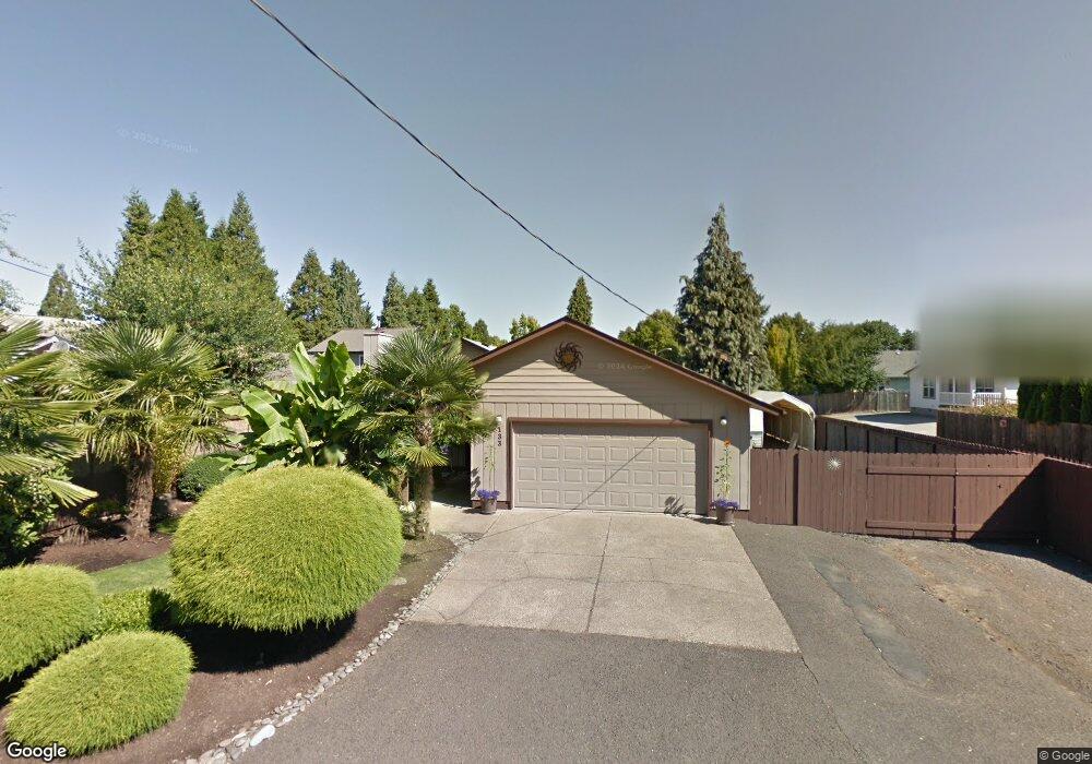
133 Owosso Dr Eugene, OR 97404
River Road NeighborhoodEstimated Value: $398,444 - $470,000
3
Beds
2
Baths
1,168
Sq Ft
$367/Sq Ft
Est. Value
About This Home
This home is located at 133 Owosso Dr, Eugene, OR 97404 and is currently estimated at $428,361, approximately $366 per square foot. 133 Owosso Dr is a home located in Lane County with nearby schools including Howard Elementary School, Kelly Middle School, and North Eugene High School.
Ownership History
Date
Name
Owned For
Owner Type
Purchase Details
Closed on
Apr 10, 2001
Sold by
Cook Evelyn A and Jaeger Carol A
Bought by
Piquet Gary L and Piquet Tess
Current Estimated Value
Home Financials for this Owner
Home Financials are based on the most recent Mortgage that was taken out on this home.
Original Mortgage
$130,000
Outstanding Balance
$46,993
Interest Rate
7.09%
Estimated Equity
$381,368
Create a Home Valuation Report for This Property
The Home Valuation Report is an in-depth analysis detailing your home's value as well as a comparison with similar homes in the area
Home Values in the Area
Average Home Value in this Area
Purchase History
| Date | Buyer | Sale Price | Title Company |
|---|---|---|---|
| Piquet Gary L | $130,000 | Evergreen Land Title Co |
Source: Public Records
Mortgage History
| Date | Status | Borrower | Loan Amount |
|---|---|---|---|
| Open | Piquet Gary L | $130,000 |
Source: Public Records
Tax History
| Year | Tax Paid | Tax Assessment Tax Assessment Total Assessment is a certain percentage of the fair market value that is determined by local assessors to be the total taxable value of land and additions on the property. | Land | Improvement |
|---|---|---|---|---|
| 2025 | $3,591 | $213,777 | -- | -- |
| 2024 | $3,552 | $207,551 | -- | -- |
| 2023 | $3,552 | $201,506 | $0 | $0 |
| 2022 | $3,341 | $195,637 | $0 | $0 |
| 2021 | $3,107 | $189,939 | $0 | $0 |
| 2020 | $3,129 | $184,407 | $0 | $0 |
| 2019 | $3,019 | $179,036 | $0 | $0 |
| 2018 | $2,816 | $168,759 | $0 | $0 |
| 2017 | $2,638 | $168,759 | $0 | $0 |
| 2016 | $2,525 | $163,844 | $0 | $0 |
| 2015 | $2,391 | $159,072 | $0 | $0 |
| 2014 | $2,397 | $154,439 | $0 | $0 |
Source: Public Records
Map
Nearby Homes
- 154 Norman Ave
- 172 Norman Ave
- 1685 Evergreen Dr
- 1920 River Rd
- 2874 Riverwalk Loop
- 1420 Evergreen Dr
- 1487 Barton St
- 1483 Barton St
- 2709 Riverwalk Loop
- 1880 Manihi Dr
- 389 Maxwell Rd
- 260 Greenleaf Ave
- 1555 Escalante St
- 501 Division Ave Unit 28
- 501 Division Ave Unit 11
- 501 Division Ave Unit 20
- 1360 Andersen Ln
- 2808 Edgewater Dr
- 425 Autumn Ave
- 1927 Lake Isle Dr
- 125 Owosso Dr
- 121 Owosso Dr
- 145 Owosso Dr
- 137 Owosso Dr
- 169 Owosso Dr
- 119 Owosso Dr
- 256 Carolyn Dr
- 1789 Camelot Ave
- 152 Corliss Ln
- 148 Owosso Dr
- 195 Owosso Dr
- 105 Owosso Dr
- 124 Corliss Ln
- 120 Owosso Dr
- 170 Owosso Dr
- 1767 Camelot Ave Unit VRM
- 1767 Camelot Ave
- 140 Corliss Ln
- 268 Carolyn Dr
- 132 Corliss Ln
Your Personal Tour Guide
Ask me questions while you tour the home.