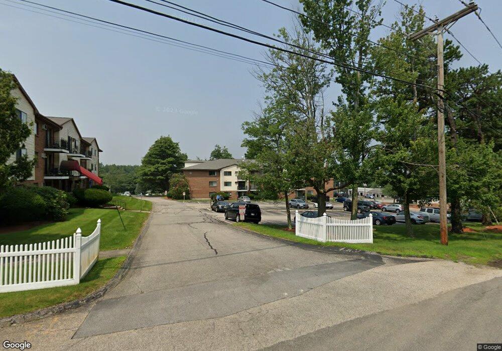
136 Mammoth Rd Unit 629 Hooksett, NH 03106
Estimated Value: $200,000 - $206,061
2
Beds
1
Bath
764
Sq Ft
$267/Sq Ft
Est. Value
About This Home
This home is located at 136 Mammoth Rd Unit 629, Hooksett, NH 03106 and is currently estimated at $204,015, approximately $267 per square foot. 136 Mammoth Rd Unit 629 is a home located in Merrimack County with nearby schools including Fred C. Underhill School, Hooksett Memorial School, and David R. Cawley Middle School.
Ownership History
Date
Name
Owned For
Owner Type
Purchase Details
Closed on
Oct 30, 2003
Sold by
Russell Tanya
Bought by
Mustafic Halil and Mustafic Fatima
Current Estimated Value
Home Financials for this Owner
Home Financials are based on the most recent Mortgage that was taken out on this home.
Original Mortgage
$79,540
Outstanding Balance
$37,003
Interest Rate
6.05%
Estimated Equity
$167,012
Create a Home Valuation Report for This Property
The Home Valuation Report is an in-depth analysis detailing your home's value as well as a comparison with similar homes in the area
Home Values in the Area
Average Home Value in this Area
Purchase History
| Date | Buyer | Sale Price | Title Company |
|---|---|---|---|
| Mustafic Halil | $82,000 | -- |
Source: Public Records
Mortgage History
| Date | Status | Borrower | Loan Amount |
|---|---|---|---|
| Open | Mustafic Halil | $79,540 |
Source: Public Records
Tax History Compared to Growth
Tax History
| Year | Tax Paid | Tax Assessment Tax Assessment Total Assessment is a certain percentage of the fair market value that is determined by local assessors to be the total taxable value of land and additions on the property. | Land | Improvement |
|---|---|---|---|---|
| 2024 | $2,698 | $159,100 | $0 | $159,100 |
| 2023 | $2,542 | $159,100 | $0 | $159,100 |
| 2022 | $1,818 | $75,600 | $0 | $75,600 |
| 2021 | $1,680 | $75,600 | $0 | $75,600 |
| 2020 | $1,702 | $75,600 | $0 | $75,600 |
| 2019 | $1,629 | $75,600 | $0 | $75,600 |
| 2018 | $1,672 | $75,600 | $0 | $75,600 |
| 2017 | $1,385 | $51,800 | $0 | $51,800 |
| 2016 | $1,367 | $51,800 | $0 | $51,800 |
| 2015 | $4,216 | $51,800 | $0 | $51,800 |
| 2014 | $4,121 | $51,800 | $0 | $51,800 |
| 2013 | -- | $51,800 | $0 | $51,800 |
Source: Public Records
Map
Nearby Homes
- 136 Mammoth Rd Unit 628
- 126 Mammoth Rd Unit 1
- 128 Mammoth Rd Unit 122
- 45 Leonard Ave
- 286 Londonderry Turnpike Unit A
- 286B Londonderry Turnpike Unit A
- 27 Martins Ferry Rd
- 13 Johns Dr
- 22 Harmony Ln
- 15 Johns Dr
- 29 Golden Gate Dr
- 6 Deerhead St
- 190 Chase Way
- 7 Mulberry Ln
- 212 Kearney St
- 541 Pickering St
- 534 Fox Hollow Way
- 18 Cindy Dr
- 6 Gailor Ln
- 755 Straw Hill Rd
- 136 Mammoth Rd Unit 21
- 136 Mammoth Rd Unit 24
- 136 Mammoth Rd Unit 15
- 136 Mammoth Rd Unit 10
- 136 Mammoth Rd Unit 13
- 136 Mammoth Rd Unit 630
- 136 Mammoth Rd Unit 627
- 136 Mammoth Rd Unit 626
- 136 Mammoth Rd Unit 625
- 136 Mammoth Rd Unit 624
- 136 Mammoth Rd Unit 623
- 136 Mammoth Rd Unit 622
- 136 Mammoth Rd Unit 621
- 136 Mammoth Rd Unit 620
- 136 Mammoth Rd Unit 619
- 136 Mammoth Rd Unit 618
- 136 Mammoth Rd Unit 617
- 136 Mammoth Rd Unit 616
- 136 Mammoth Rd Unit 615
- 136 Mammoth Rd Unit 614