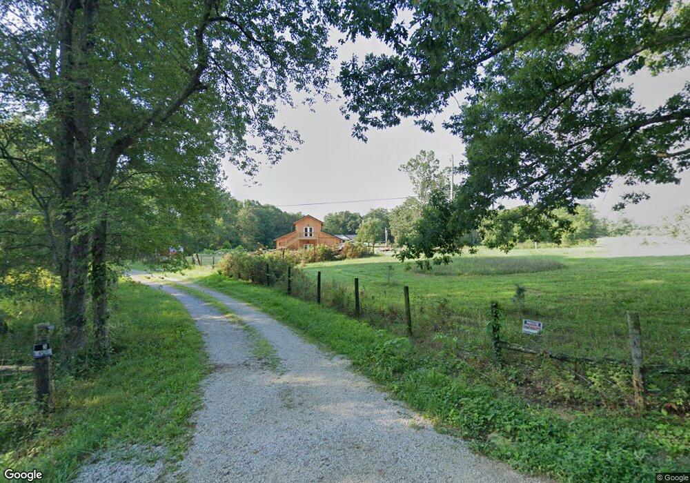
1369 Franklin Loop Clarkrange, TN 38553
Estimated Value: $394,000 - $729,000
3
Beds
3
Baths
1,400
Sq Ft
$366/Sq Ft
Est. Value
About This Home
This home is located at 1369 Franklin Loop, Clarkrange, TN 38553 and is currently estimated at $512,831, approximately $366 per square foot. 1369 Franklin Loop is a home located in Fentress County.
Ownership History
Date
Name
Owned For
Owner Type
Purchase Details
Closed on
Jun 29, 2018
Sold by
Rinehart William J and Rinehart Rose M
Bought by
Marton Debra M Sawalski and Marton Ladislao
Current Estimated Value
Home Financials for this Owner
Home Financials are based on the most recent Mortgage that was taken out on this home.
Original Mortgage
$248,850
Outstanding Balance
$215,214
Interest Rate
4.5%
Mortgage Type
New Conventional
Estimated Equity
$297,617
Purchase Details
Closed on
Feb 4, 2008
Sold by
Miller Randall Dale
Bought by
Rinehart William J
Home Financials for this Owner
Home Financials are based on the most recent Mortgage that was taken out on this home.
Original Mortgage
$279,000
Interest Rate
6.06%
Mortgage Type
Cash
Purchase Details
Closed on
Feb 13, 1998
Bought by
Baldwin Terry and Baldwin Regina
Purchase Details
Closed on
Jan 8, 1990
Create a Home Valuation Report for This Property
The Home Valuation Report is an in-depth analysis detailing your home's value as well as a comparison with similar homes in the area
Purchase History
| Date | Buyer | Sale Price | Title Company |
|---|---|---|---|
| Marton Debra M Sawalski | $276,500 | Integrity Title & Escrow Llc | |
| Rinehart William J | $279,000 | -- | |
| Baldwin Terry | $17,500 | -- | |
| -- | $50,000 | -- |
Source: Public Records
Mortgage History
| Date | Status | Borrower | Loan Amount |
|---|---|---|---|
| Open | Marton Debra M Sawalski | $248,850 | |
| Previous Owner | -- | $279,000 |
Source: Public Records
Tax History
| Year | Tax Paid | Tax Assessment Tax Assessment Total Assessment is a certain percentage of the fair market value that is determined by local assessors to be the total taxable value of land and additions on the property. | Land | Improvement |
|---|---|---|---|---|
| 2025 | $1,350 | $99,975 | $22,025 | $77,950 |
| 2024 | $1,176 | $87,100 | $22,025 | $65,075 |
| 2023 | $1,176 | $87,100 | $22,025 | $65,075 |
| 2022 | $1,166 | $61,050 | $13,975 | $47,075 |
| 2021 | $1,166 | $61,050 | $13,975 | $47,075 |
| 2020 | $1,166 | $61,050 | $13,975 | $47,075 |
| 2019 | $1,166 | $61,050 | $13,975 | $47,075 |
| 2018 | $1,166 | $61,050 | $13,975 | $47,075 |
| 2017 | $713 | $35,925 | $12,500 | $23,425 |
| 2016 | $713 | $35,925 | $12,500 | $23,425 |
| 2015 | $713 | $35,947 | $0 | $0 |
| 2014 | $713 | $35,947 | $0 | $0 |
Source: Public Records
Map
Nearby Homes
- 106 MacA Ridge Cir
- 6105 S York Hwy
- 164 Green Acres
- 145 Rhum Rd
- 6105 S South York Hwy
- 6006 S York Hwy
- 1070 N Shady Lane Loop
- 2019 Martha Washington Rd
- 1112 N Shady Lane Loop
- 5740 S York Hwy
- 5715 S York Highway 127 Hwy
- 0 Old Martha Washington Rd
- 6604 S York Hwy
- 5651 S York Hwy
- 2570 Martha Washington Rd
- 1011 Fox Ridge Dr
- 1079 South Ln
- 2047 Todd Rd
- 634 Robs Rd
- 338 Swallows Crossing
- 1348 Franklin Loop
- 6166 S York Hwy
- 104 Green Acres
- 110 Green Acres
- 101 Green Acres
- 6156 S York Hwy
- 6220 S York Hwy
- 111 Green Acres
- 6145 S York Hwy
- 6146 S York Hwy
- 6224 S York Hwy
- 121 Green Acres
- 105 MacA Ridge Cir
- 105 MacA Ridge Cir
- 6140 S York Hwy
- 101 MacA Ridge Cir
- 6232 S York Hwy
- 109 MacA Ridge Cir
- 6160 S York Hwy Unit 127S
- 102 MacA Ridge Cir
Your Personal Tour Guide
Ask me questions while you tour the home.