137 Westbrook Way Eugene, OR 97405
Crest Drive NeighborhoodEstimated Value: $329,373 - $357,000
2
Beds
1
Bath
1,090
Sq Ft
$319/Sq Ft
Est. Value
About This Home
This home is located at 137 Westbrook Way, Eugene, OR 97405 and is currently estimated at $347,343, approximately $318 per square foot. 137 Westbrook Way is a home located in Lane County with nearby schools including Edgewood Community Elementary School, Spencer Butte Middle School, and South Eugene High School.
Ownership History
Date
Name
Owned For
Owner Type
Purchase Details
Closed on
Dec 8, 2021
Sold by
Starr Thomas A
Bought by
Starr Thomas Anthony and Thomas Anthony Starr Liv Tr
Current Estimated Value
Purchase Details
Closed on
Apr 20, 2021
Sold by
Skillern William F and Skillern William P
Bought by
Starr Thomas A
Home Financials for this Owner
Home Financials are based on the most recent Mortgage that was taken out on this home.
Original Mortgage
$240,000
Outstanding Balance
$216,397
Interest Rate
3.05%
Mortgage Type
New Conventional
Estimated Equity
$130,946
Purchase Details
Closed on
Mar 14, 2019
Sold by
Skillern William F
Bought by
Skillern William F and Skillern Revocable T William F
Purchase Details
Closed on
Sep 23, 1999
Sold by
Skillern Investments Ltd Partnership
Bought by
Skillern William F
Create a Home Valuation Report for This Property
The Home Valuation Report is an in-depth analysis detailing your home's value as well as a comparison with similar homes in the area
Home Values in the Area
Average Home Value in this Area
Purchase History
| Date | Buyer | Sale Price | Title Company |
|---|---|---|---|
| Starr Thomas Anthony | -- | None Available | |
| Starr Thomas A | $300,000 | Cascade Title Co | |
| Skillern William F | -- | None Available | |
| Skillern William F | -- | Cascade Title Co |
Source: Public Records
Mortgage History
| Date | Status | Borrower | Loan Amount |
|---|---|---|---|
| Open | Starr Thomas A | $240,000 |
Source: Public Records
Tax History
| Year | Tax Paid | Tax Assessment Tax Assessment Total Assessment is a certain percentage of the fair market value that is determined by local assessors to be the total taxable value of land and additions on the property. | Land | Improvement |
|---|---|---|---|---|
| 2025 | $3,468 | $177,969 | -- | -- |
| 2024 | $3,424 | $172,786 | -- | -- |
| 2023 | $3,424 | $167,754 | $0 | $0 |
| 2022 | $3,208 | $162,868 | $0 | $0 |
| 2021 | $3,013 | $158,125 | $0 | $0 |
| 2020 | $3,024 | $153,520 | $0 | $0 |
| 2019 | $2,920 | $149,049 | $0 | $0 |
| 2018 | $2,749 | $140,493 | $0 | $0 |
| 2017 | $2,602 | $140,493 | $0 | $0 |
| 2016 | $2,506 | $136,401 | $0 | $0 |
| 2015 | $2,433 | $132,428 | $0 | $0 |
| 2014 | $2,337 | $128,571 | $0 | $0 |
Source: Public Records
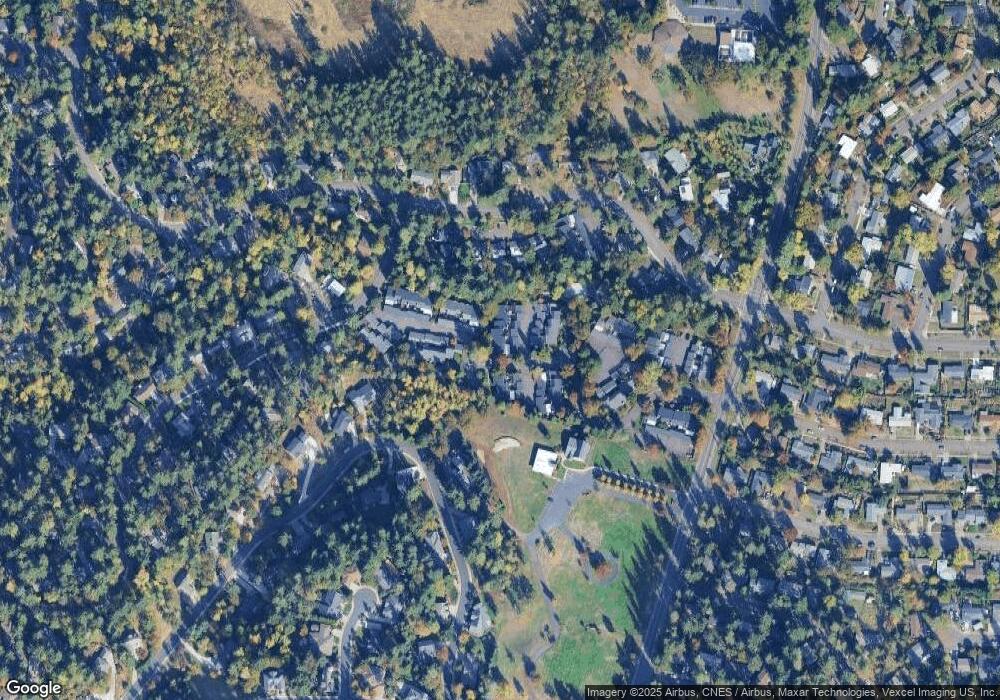
Map
Nearby Homes
- 21 Westbrook Way
- 17 Westbrook Way
- 36 Westbrook Way
- 278 Rockridge Ct
- 365 Brae Burn Dr
- 4103 Brae Burn Dr
- 126 Treehill Loop Unit 126
- 143 Treehill Loop Unit 143
- 152 Treehill Loop Unit 152
- 151 Treehill Loop Unit 151
- 4734 Brookwood St
- 422 Stonewood Dr Unit 422
- 418 Stonewood Dr Unit 418
- 223 Trailside Loop Unit 223
- 170 E 40th Ave
- 0 Pine View Ct Unit 758820410
- 4295 Ferry St
- 4083 Donald St Unit A
- 4023 Donald St Unit K
- 5159 Solar Heights Dr
- 135 Westbrook Way
- 133 Westbrook Way
- 93 Westbrook Way
- 131 Westbrook Way
- 160 Westbrook Way
- 127 Westbrook Way
- 101 Westbrook Way
- 150 Westbrook Way
- 139 Westbrook Way
- 140 Westbrook Way
- 141 Westbrook Way
- 100 Westbrook Way
- 105 Westbrook Way
- 109 Westbrook Way
- 185 Westbrook Way
- 110 Westbrook Way
- 117 Westbrook Way
- 143 Westbrook Way
- 183 Westbrook Way
- 120 Westbrook Way
Your Personal Tour Guide
Ask me questions while you tour the home.