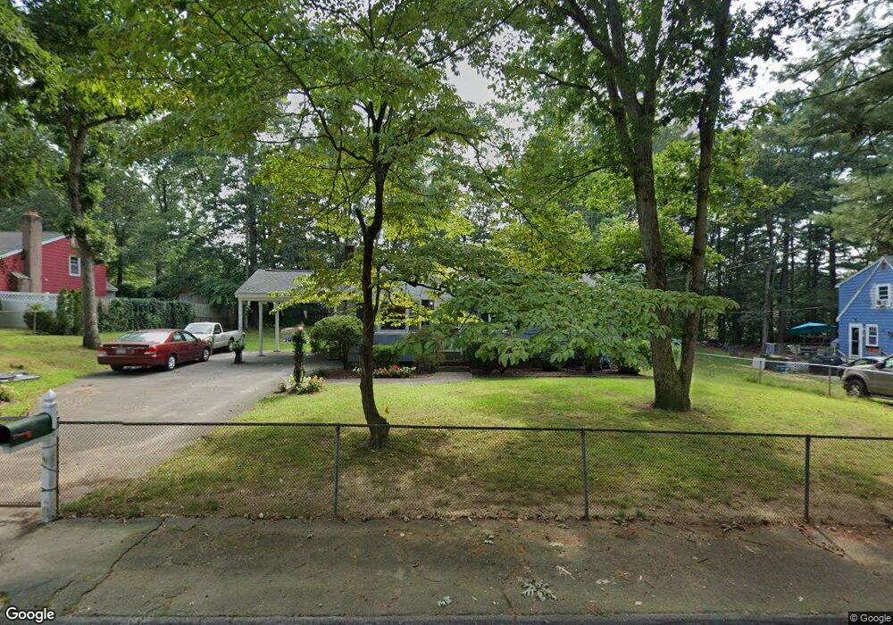
14 Schofield Dr Franklin, MA 02038
Estimated Value: $600,000 - $671,000
4
Beds
2
Baths
1,716
Sq Ft
$368/Sq Ft
Est. Value
About This Home
This home is located at 14 Schofield Dr, Franklin, MA 02038 and is currently estimated at $631,123, approximately $367 per square foot. 14 Schofield Dr is a home located in Norfolk County with nearby schools including John F. Kennedy Memorial School, Horace Mann Middle School, and Franklin High School.
Ownership History
Date
Name
Owned For
Owner Type
Purchase Details
Closed on
Jul 27, 1990
Sold by
Headrick Robert H
Bought by
Decourcey Edward D
Current Estimated Value
Home Financials for this Owner
Home Financials are based on the most recent Mortgage that was taken out on this home.
Original Mortgage
$127,300
Interest Rate
10.01%
Mortgage Type
Purchase Money Mortgage
Purchase Details
Closed on
May 13, 1988
Sold by
Costello Anna T
Bought by
Headrick Carolyn L
Home Financials for this Owner
Home Financials are based on the most recent Mortgage that was taken out on this home.
Original Mortgage
$104,800
Interest Rate
10.02%
Mortgage Type
Purchase Money Mortgage
Create a Home Valuation Report for This Property
The Home Valuation Report is an in-depth analysis detailing your home's value as well as a comparison with similar homes in the area
Purchase History
| Date | Buyer | Sale Price | Title Company |
|---|---|---|---|
| Decourcey Edward D | $134,000 | -- | |
| Headrick Carolyn L | $131,000 | -- |
Source: Public Records
Mortgage History
| Date | Status | Borrower | Loan Amount |
|---|---|---|---|
| Open | Headrick Carolyn L | $140,000 | |
| Closed | Headrick Carolyn L | $123,250 | |
| Closed | Headrick Carolyn L | $127,300 | |
| Previous Owner | Headrick Carolyn L | $104,800 |
Source: Public Records
Tax History
| Year | Tax Paid | Tax Assessment Tax Assessment Total Assessment is a certain percentage of the fair market value that is determined by local assessors to be the total taxable value of land and additions on the property. | Land | Improvement |
|---|---|---|---|---|
| 2025 | $6,446 | $554,700 | $242,500 | $312,200 |
| 2024 | $6,161 | $522,600 | $242,500 | $280,100 |
| 2023 | $6,002 | $477,100 | $253,000 | $224,100 |
| 2022 | $5,694 | $405,300 | $209,100 | $196,200 |
| 2021 | $5,290 | $361,100 | $205,000 | $156,100 |
| 2020 | $5,343 | $368,200 | $220,300 | $147,900 |
| 2019 | $5,090 | $347,200 | $199,300 | $147,900 |
| 2018 | $4,987 | $340,400 | $208,800 | $131,600 |
| 2017 | $4,712 | $323,200 | $191,600 | $131,600 |
| 2016 | $4,641 | $320,100 | $204,500 | $115,600 |
| 2015 | $4,396 | $296,200 | $180,600 | $115,600 |
| 2014 | $4,133 | $286,000 | $170,400 | $115,600 |
Source: Public Records
Map
Nearby Homes
- 34 Schofield Dr
- 276 Pond St
- 214 Conlyn Ave
- 25 Brookview Rd
- 17 Pine St
- 41 Kimberlee Ave
- 1801 Franklin Crossing Rd Unit 1801
- 60 Pine St
- 834-836 W Central St
- 602 Franklin Crossing Rd Unit 602
- 29 Hancock Rd
- 78 Highwood Dr
- 27 Dover Cir
- 20 Hawthorne Village Unit A
- 8 Apache Rd
- 48 Dover Cir
- 18 Mary Anne Dr
- 56 Puddingstone Ln
- 21 Maple St
- 5 Stone Ridge Rd
- 16 Schofield Dr
- 12 Schofield Dr
- 17 Oak Street Extension
- 16 Janie Ave
- 10 Janie Ave
- 19 Oak Street Extension
- 22 Schofield Dr
- 15 Oak Street Extension
- 17 Schofield Dr
- 21 Oak Street Extension
- 21 Schofield Dr
- 6 Janie Ave
- 20 Janie Ave
- 13 Oak Street Extension
- 26 Schofield Dr
- 11 Janie Ave
- 6 Schofield Dr
- 15 Janie Ave
- 25 Oak Street Extension
- 25 Schofield Dr
Your Personal Tour Guide
Ask me questions while you tour the home.