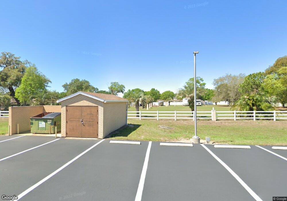
1420 John Moore Rd Brandon, FL 33511
Estimated Value: $360,000 - $444,000
4
Beds
2
Baths
2,036
Sq Ft
$201/Sq Ft
Est. Value
About This Home
This home is located at 1420 John Moore Rd, Brandon, FL 33511 and is currently estimated at $408,811, approximately $200 per square foot. 1420 John Moore Rd is a home located in Hillsborough County with nearby schools including Kingswood Elementary School, Rodgers Middle School, and Brandon High School.
Ownership History
Date
Name
Owned For
Owner Type
Purchase Details
Closed on
Feb 10, 2006
Sold by
Gunter Millard Lee
Bought by
Cabrera Alejandro and Cruz Yamilet E
Current Estimated Value
Home Financials for this Owner
Home Financials are based on the most recent Mortgage that was taken out on this home.
Original Mortgage
$225,000
Outstanding Balance
$136,192
Interest Rate
7.5%
Mortgage Type
Fannie Mae Freddie Mac
Estimated Equity
$272,619
Purchase Details
Closed on
Apr 22, 2005
Sold by
Roth Ian E and Cole Roth Christi
Bought by
Gunter Millard Lee
Create a Home Valuation Report for This Property
The Home Valuation Report is an in-depth analysis detailing your home's value as well as a comparison with similar homes in the area
Home Values in the Area
Average Home Value in this Area
Purchase History
| Date | Buyer | Sale Price | Title Company |
|---|---|---|---|
| Cabrera Alejandro | $300,000 | Executive Title Of Fl Inc | |
| Gunter Millard Lee | -- | -- |
Source: Public Records
Mortgage History
| Date | Status | Borrower | Loan Amount |
|---|---|---|---|
| Open | Cabrera Alejandro | $225,000 |
Source: Public Records
Tax History Compared to Growth
Tax History
| Year | Tax Paid | Tax Assessment Tax Assessment Total Assessment is a certain percentage of the fair market value that is determined by local assessors to be the total taxable value of land and additions on the property. | Land | Improvement |
|---|---|---|---|---|
| 2024 | $2,551 | $156,836 | -- | -- |
| 2023 | $2,437 | $152,268 | $0 | $0 |
| 2022 | $2,327 | $147,833 | $0 | $0 |
| 2021 | $2,290 | $143,527 | $0 | $0 |
| 2020 | $2,207 | $141,545 | $0 | $0 |
| 2019 | $2,115 | $138,363 | $0 | $0 |
| 2018 | $2,021 | $135,783 | $0 | $0 |
| 2017 | $1,986 | $168,595 | $0 | $0 |
| 2016 | $1,958 | $130,255 | $0 | $0 |
| 2015 | $1,978 | $129,350 | $0 | $0 |
| 2014 | $1,991 | $130,233 | $0 | $0 |
| 2013 | -- | $114,391 | $0 | $0 |
Source: Public Records
Map
Nearby Homes
- 1607 Loriana St
- 1726 Loriana St
- 134 Barrington Dr
- 112 Julie Ln
- 124 Barrington Dr
- 703 Sailfish Dr
- 923 Lumsden Reserve Dr
- 123 Jeffrey Dr
- 906 Stanberry Dr
- 1909 Lido Dr
- 832 S Parsons Ave
- 1807 Green Lawn St
- 308 Cambridge Place
- 724 Tradewinds Dr
- 2207 Princess Way
- 2518 Knight Island Dr
- 732 Tradewinds Dr
- 613 Royal Crest Way
- 1111 Bryan Rd
- 1109 Bryan Rd
- 1611 Loriana St
- 1613 Loriana St
- 1701 Loriana St
- 1605 Loriana St
- 1703 Loriana St
- 1615 Loriana St
- 1705 Loriana St
- 133 Kiana Dr
- 1603 Loriana St
- 1610 Loriana St
- 134 Kiana Dr
- 1608 Loriana St
- 1707 Loriana St
- 131 Kiana Dr
- 1606 Loriana St
- 1601 Loriana St
- 1712 Loriana St
- 132 Kiana Dr
- 1604 Loriana St
- 1709 Loriana St
